Name/Title
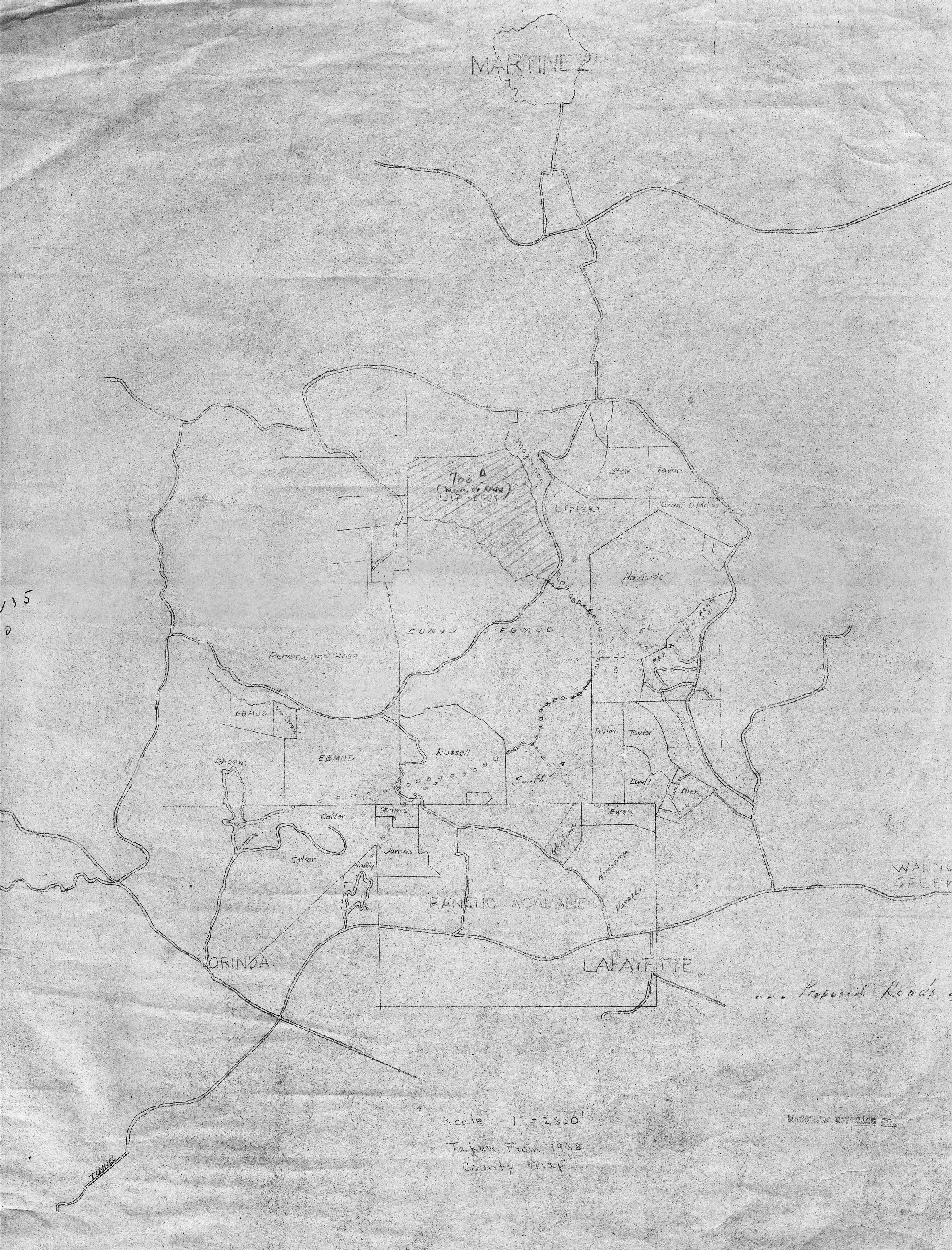
Contra Costa County Map 1938Description
Contra Costa County Map 1938
The image depicts a map showing an area with various locations labeled, including prominent locations such as "Martinez," "Orinda," and "Lafayette." The map features numerous irregularly shaped sections, indicating properties or land divisions, some of which are labeled with smaller names. Additionally, the date "1938" is marked near the scale.Other Name
OHS-Map-CountyMap-1938.jpg