Name/Title
South West District Orinda Map 1930sDescription
South West District Orinda map 1930s
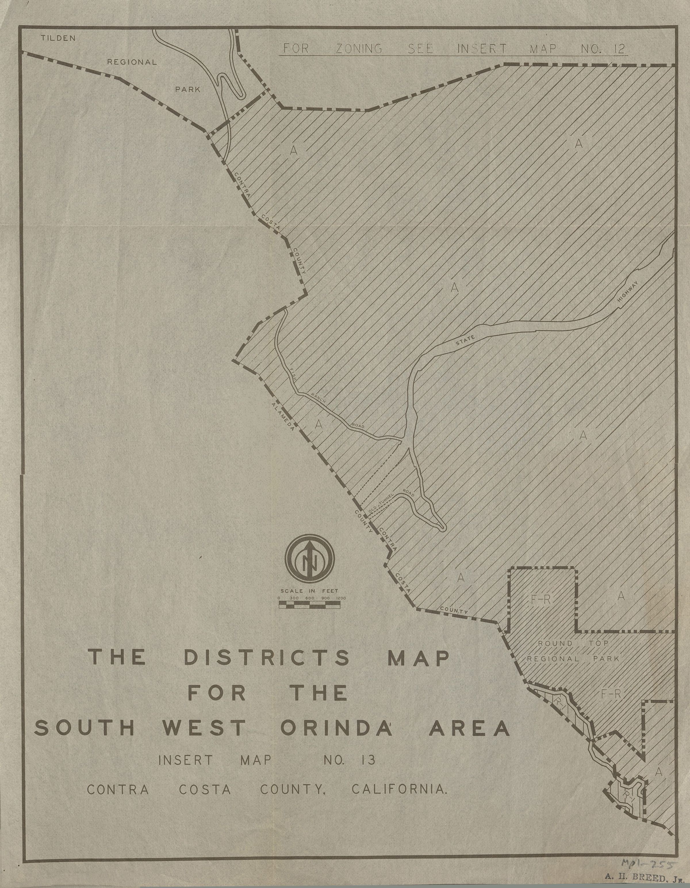
The image is a detailed district map for the Southwest Orinda area in Contra Costa County, California. It is labeled as "Insert Map No. 13" with zoning information available on another map, labeled "Insert Map No. 12", and is attributed to A.H. Breed Jr. The map focuses on a region characterized by zoning marked with "A" and "F-R", possibly indicating different land use or zoning categories. Prominently featured is the Tilden Regional Park, located in the upper left corner, and the Round Top Regional Park is outlined in the center-right portion of the map. The map incorporates topographical elements and boundary lines, with a labeled scale in feet that helps convey actual distances. Additionally, roads are marked, providing some location and accessibility context within the mapped area.Other Name
OHS-Map-DistrictsSouthWestOrindaArea-circa1930s.jpg