Name/Title
Hacienda Del Orinda Lot Map 1925Description
HaciendaDelOrinda Circa 1925 Lot map photo copy
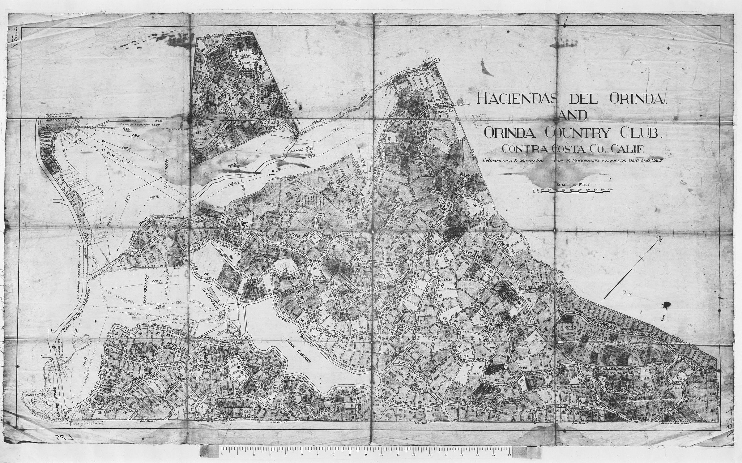
The image is a photocopy of a detailed, old map titled "Haciendas del Orinda and Orinda Country Club, Contra Costa Co., Calif." It is intricately drawn and features a variety of plotted areas, likely representing land parcels or estates, demarcated by boundaries and labeled numerically. The map's design includes numerous curved and intersecting lines indicating roads or pathways, with areas shaded differently to distinguish various sections or features of the land. The map is annotated with the names of engineering firms involved in its creation, specifically "L'Hommedieu & Wilson Inc., Civil & Subdivision Engineers, Oakland, Calif." A scale in feet is provided for reference, and topographical elements suggest a landscape of varied elevation or vegetation.Other Name
OHS-Map-HaciendaDelOrinda-circa1925-PhotoCopy.jpg