Name/Title
Overhead map St Mary's College 1928Description
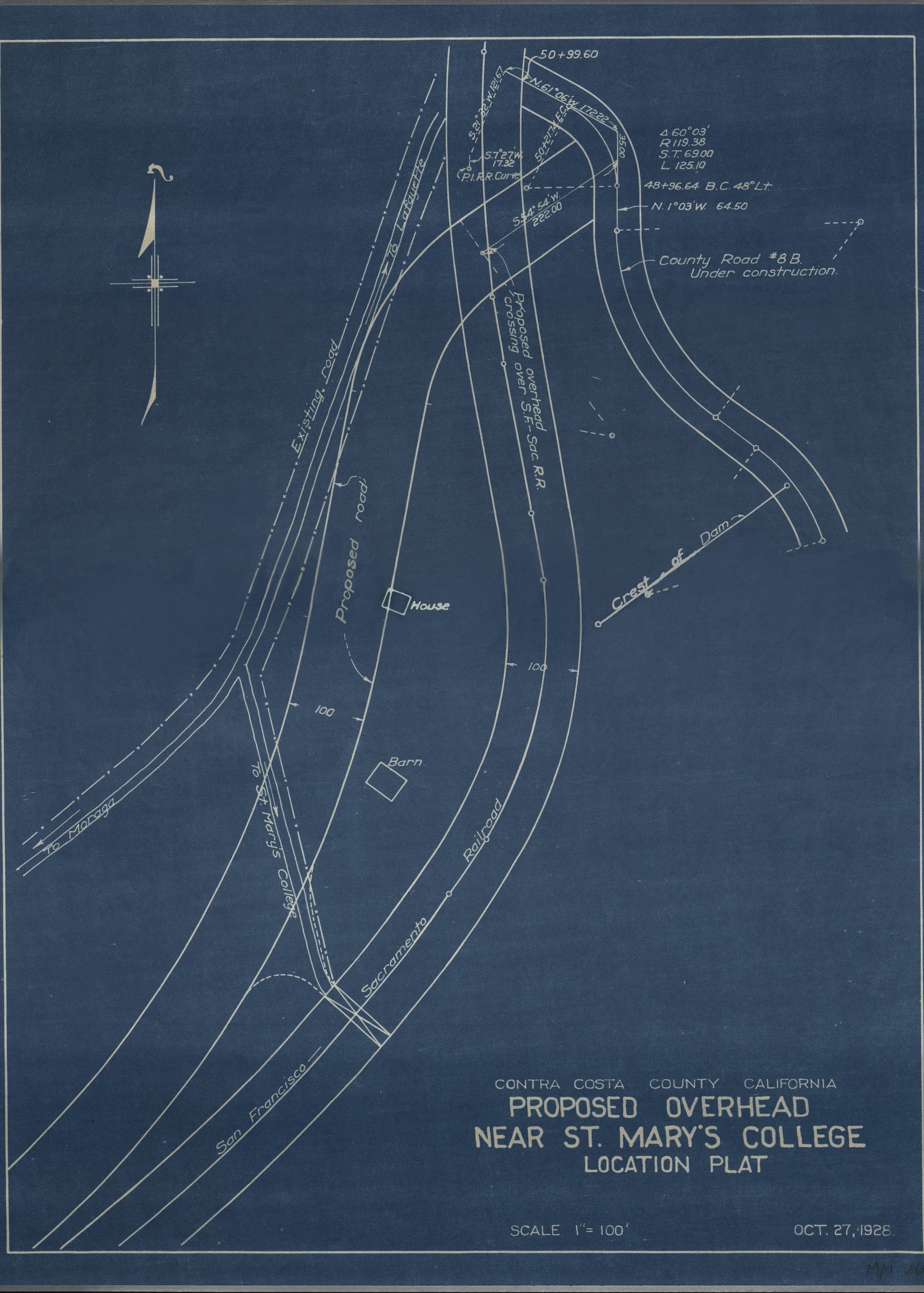
Overhead Blueprint Map St Mary's College 1928
The image is a detailed blueprint map, dated October 27, 1926, displaying the proposed overhead bridge near St. Mary's College in Contra Costa County, California, with intricate lines depicting existing and proposed roads, railroads, and structures like a house and barn, along with specific annotations for directions, measurements, and construction elements, all conveyed on a blue background, encompassing a scale of one inch equaling one hundred feet, illustrating planned infrastructural developments in a precise, technical format.Other Name
OHS-Map-Overhead-StMary'sCollege-1928.jpg