Name/Title
[Franklin Imprint] Evans, LewisDescription
Lewis Evans (c. 1700-1756), of Welsh extraction, arrived in the colonies in 1730’s and settles in Philadelphia. He soon befriended Benjamin Franklin, with whom he shared many interests. Franklin was this work’s printer and likely was responsible for securing the services of the Boston engraver, James Turner, who Franklin knew. Thomas Pownall, who would become the governor of the Massachusetts colony, and avid and sympathetic observer of America, helped Evans in financing the map. Evans in the pamphlet warmly refers to Pownall as the sources of the some of the map’s underlying surveys, and the map is dedicated to him. Pownall would in 1776 produce the only authorized later edition of Evans’s map, the profits from which Pownall promised to Evans’s orphaned daughter. Following the publication of this map, Evans issued a provocative pamphlet, which hinted at treasonous collusion with France by Governor Robert Hunter Morris of Pennsylvania, for which Evans was imprisoned in New York, where he had re-located. He was released from jail only three days before he died in 1756, leaving his motherless eleven-year-old daughter in the care of friends.
One such element in Evans' map is its urgent geo-political agenda that is set forth by Evans in such a passionate, keenly intelligent, and even prescient way in the pamphlet that accompanied the publication of the map. The map was published as England and France were about to go to war for what would turn out to be nothing less than a zero-sum battle for the control of most of North America. This Evans saw clearly even before the war began. He predicted that as a result of the war “that a State, vested with all the Wealth and Power that will naturally arise from the Culture of so great an Extent of good Land, in a happy Climate, it will make so great an Addition to that Nation which wins, where there is not third to hold the Balance of Power, that the Loser must inevitable sink under his Rival” (p. 31). Evans essentially asserts that in the coming war lies Britain’s opportunity to grow to become a true imperial power by dominating much of North America, or run the risk not becoming so. One can argue he was dead right. Evans also cautions the British not to fear the growth of the colonies that a victory would inevitably result in, arguing that the disparately organized and managed colonies could never unite against Britain if they were properly administered as genuine British subjects. Presciently, Evans states that if not so managed the colonies might then indeed unite in revolt. Evans clearly saw both his map and the accompanying pamphlet as the most urgent kind of public service. Without a trace of arrogance, Evan presents what his map has to show as being of the utmost consequence for the future of England. In reading Evans, one is made to feel that a map has never mattered more.
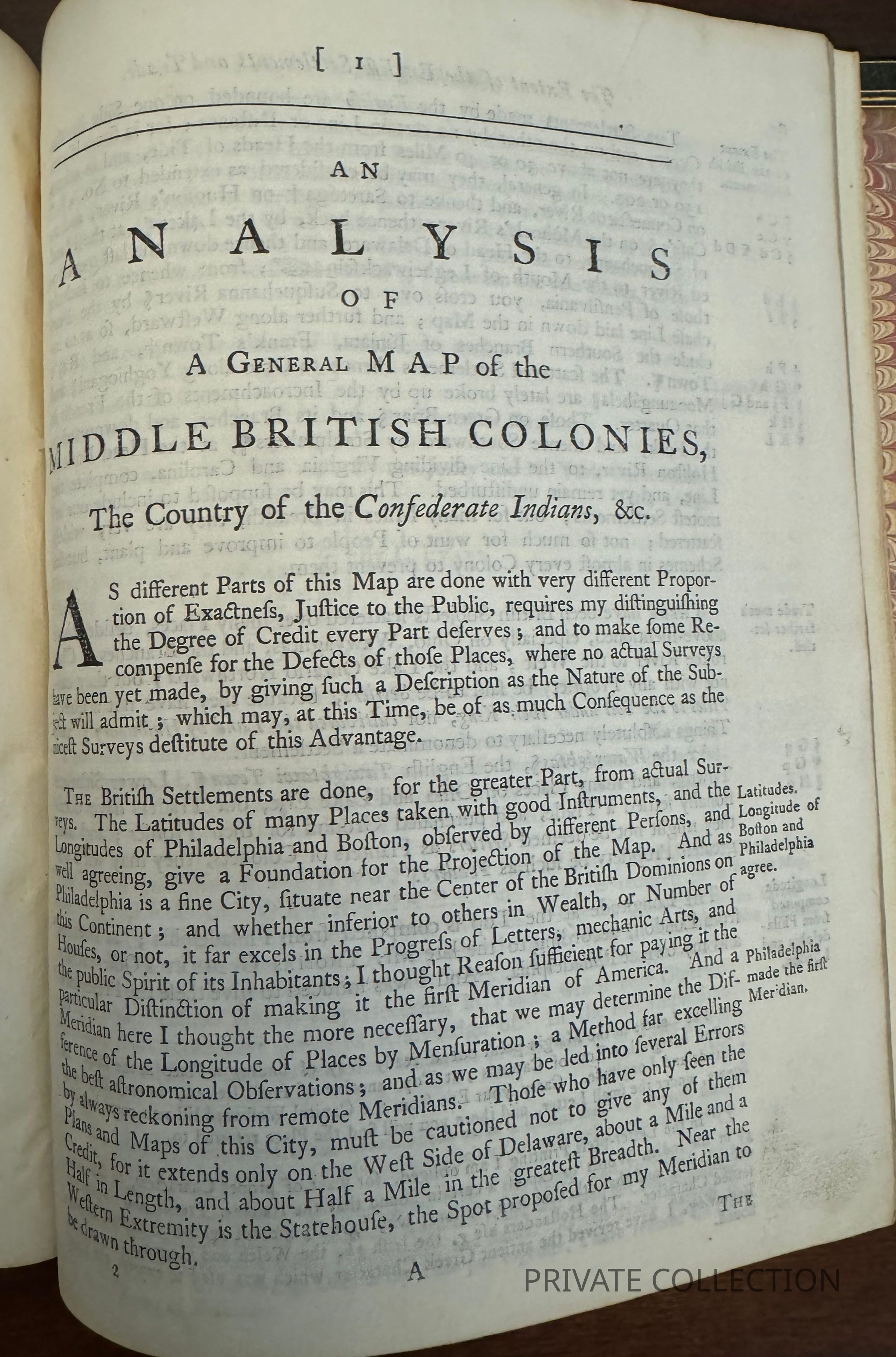
In much of the accompanying pamphlet, Evans anatomized his map—the specific surveys underlying it, where it is and is not accurate, all in great detail. He also refers to previous maps that had been corrected and folded into this one as well as to Indians and traders who were sources. Very few maps prior to this one have been accompanied by the kind of granular, self analysis as found here, and none, I would argue, are as transparent, honest and humble in doing so as this one.
In reading the pamphlet, it is hard to imagine that any other single person at the time knew the American frontier of the day better than Evans. For example, his knowledge of Indian tribes, their territories, locations, strengths, affiliations, and degrees of friendliness toward both the British and French, is remarkable in its subtlety as much as in its extent. Evans clearly saw the crucial role to be played by Indians in the coming war. He displays a clear understanding of the difference between Indian and European conceptions of property. Evans exhibits his remarkable, on-the-ground knowledge of the Ohio Valley in his extensive discussion of the water courses that connect the eastern colonies with frontier. In fact, this is very much a transportation map. As water was the primary medium of transport connecting the colonies with the frontier, Evans takes great pains to access the available routes, both for the purpose of their use in the coming war and in the course of future development. Evans also speaks knowledgeably of the practicalities of surveying, noting particularly the difficulties imposed by the thickly forested frontier areas.
He died in New York on June 12, 1756, leaving behind a daughter, Amelia.
Amelia’s godmother was Franklin’s wife, Deborah, who raised the girl after Evans’ death. Part of Amelia’s inheritance was the plate of the 1755 map. The rest of his maps and instruments were sold at auction in early 1760. Benjamin Franklin later arranged for the plate to be sent to John Almon for reprinting in an attempt to support Amelia. This resulted in the 1776 Pownall edition of the map; however, sales were not as expected, leaving Amelia short of funds.Other Names and Numbers
Other Numbers
Number Type
ReferencesOther Number
Evans 7412, Howes E226, Miller 606, Hildeburn 1412a, Campbell 543, Church 1003General Notes
Note Type
Historical NoteNote
BF to DF July 22, 1174
I enclose a Letter I have just receiv’d from your God-Daughter Amelia Evans that was, (now Barry.) I wrote to you before that she had marry’d the Captain of a Ship in the Levant Trade. She is now again at Tunis where you will see she has lately lain in of her third Child. Her Father you know was a Geographer, and his Daughter has now some Connection I think with the whole Globe; being born herself in America, and having her first Child in Asia, her second in Europe, and now her third in Africa.8