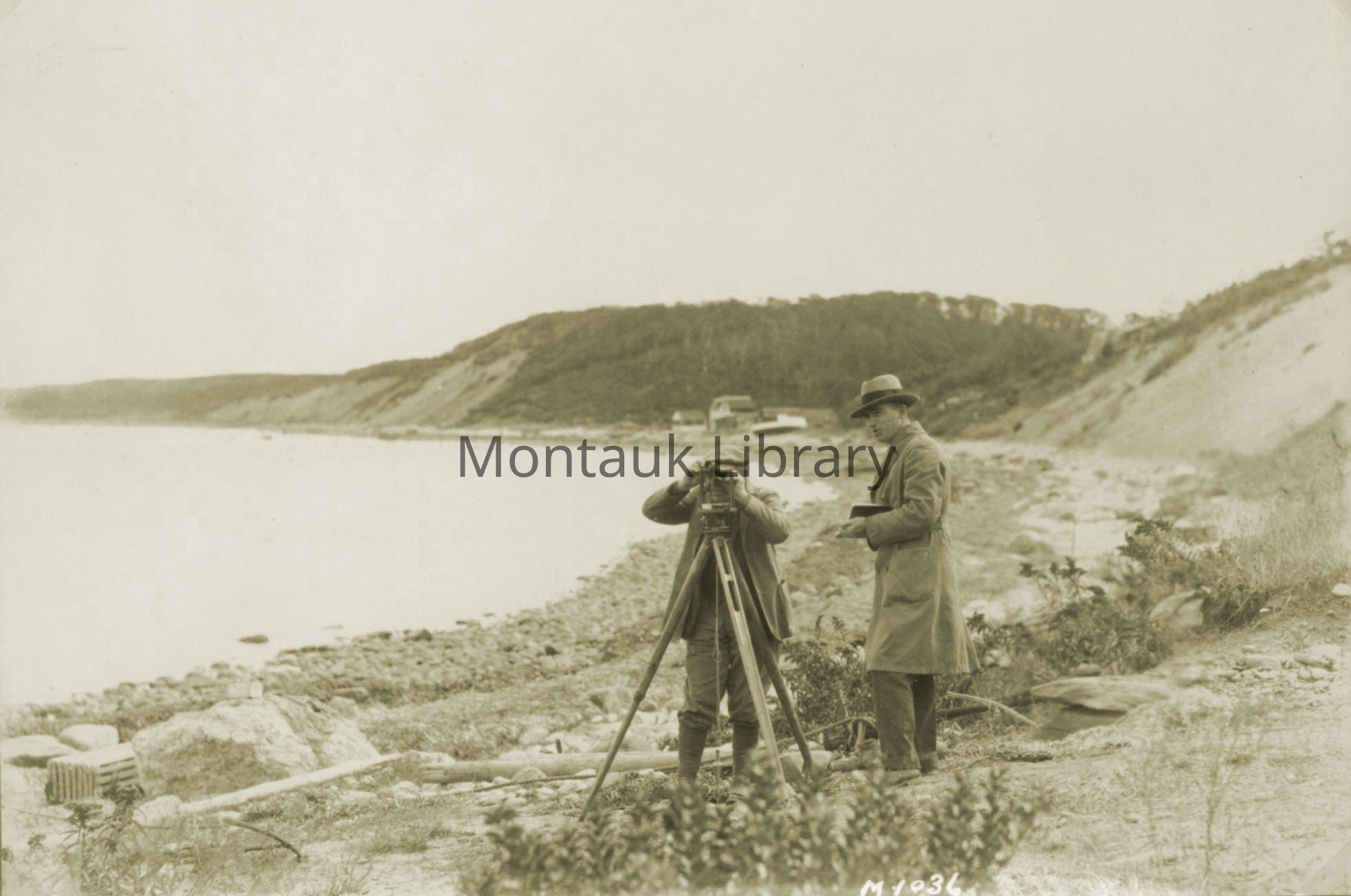
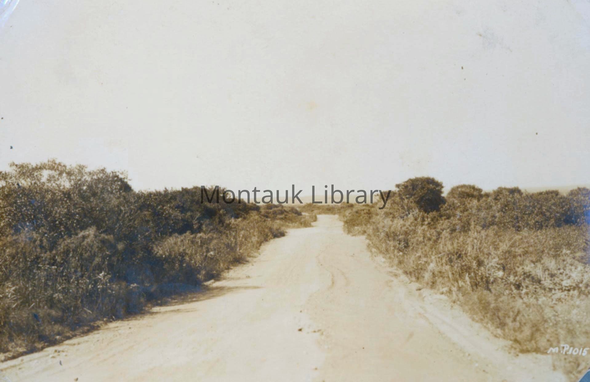
Surveying at Montauk, c. 1925 | Montauk Library Archives
Name/Title
[Montauk "the Miami Beach of the north" before Carl G. Fisher's development ; photo album / 1926].
Entry/Object ID
ARC.0003
Scope and Content
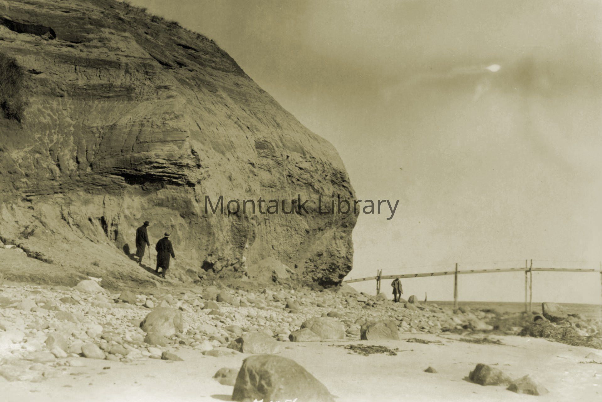
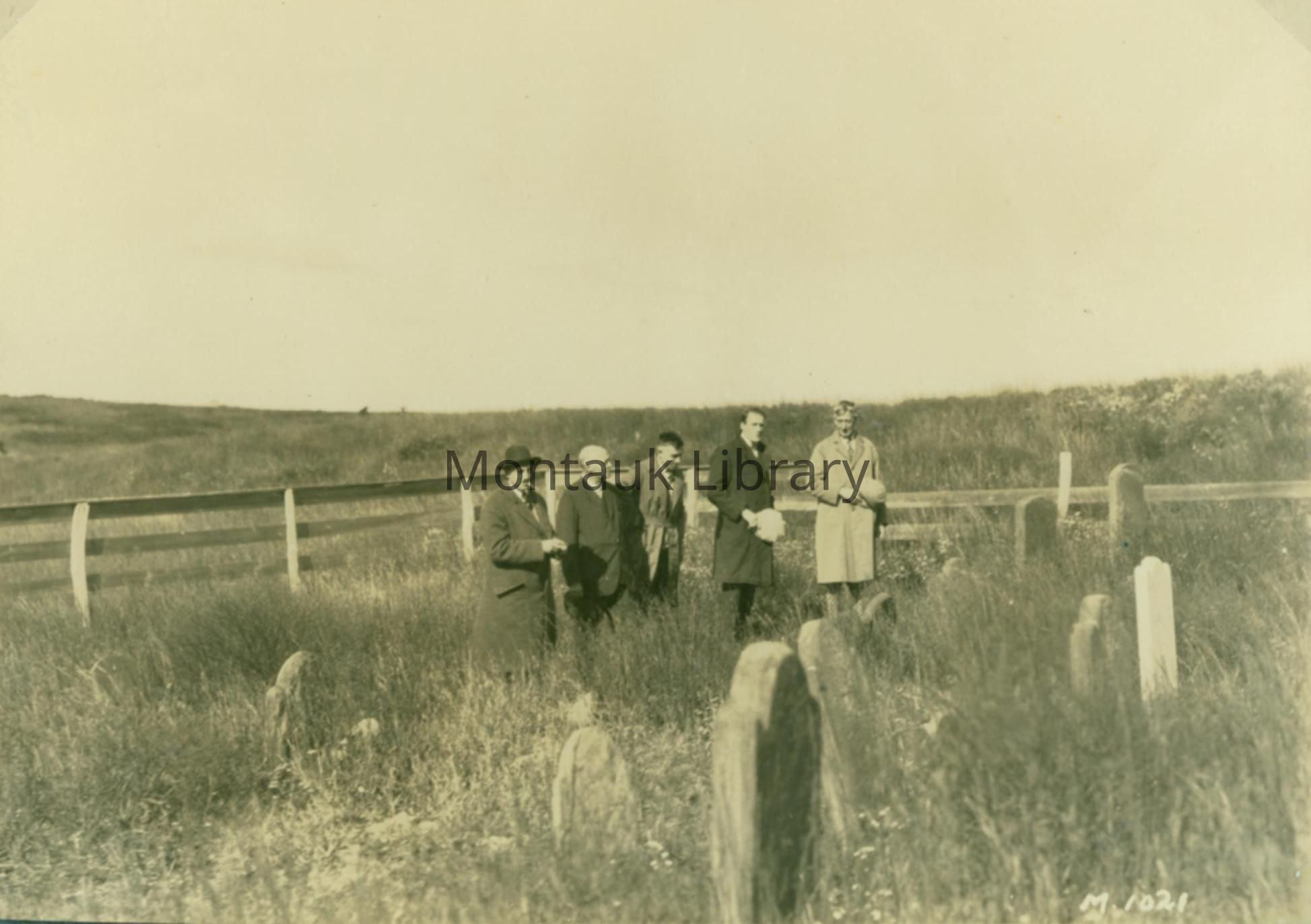
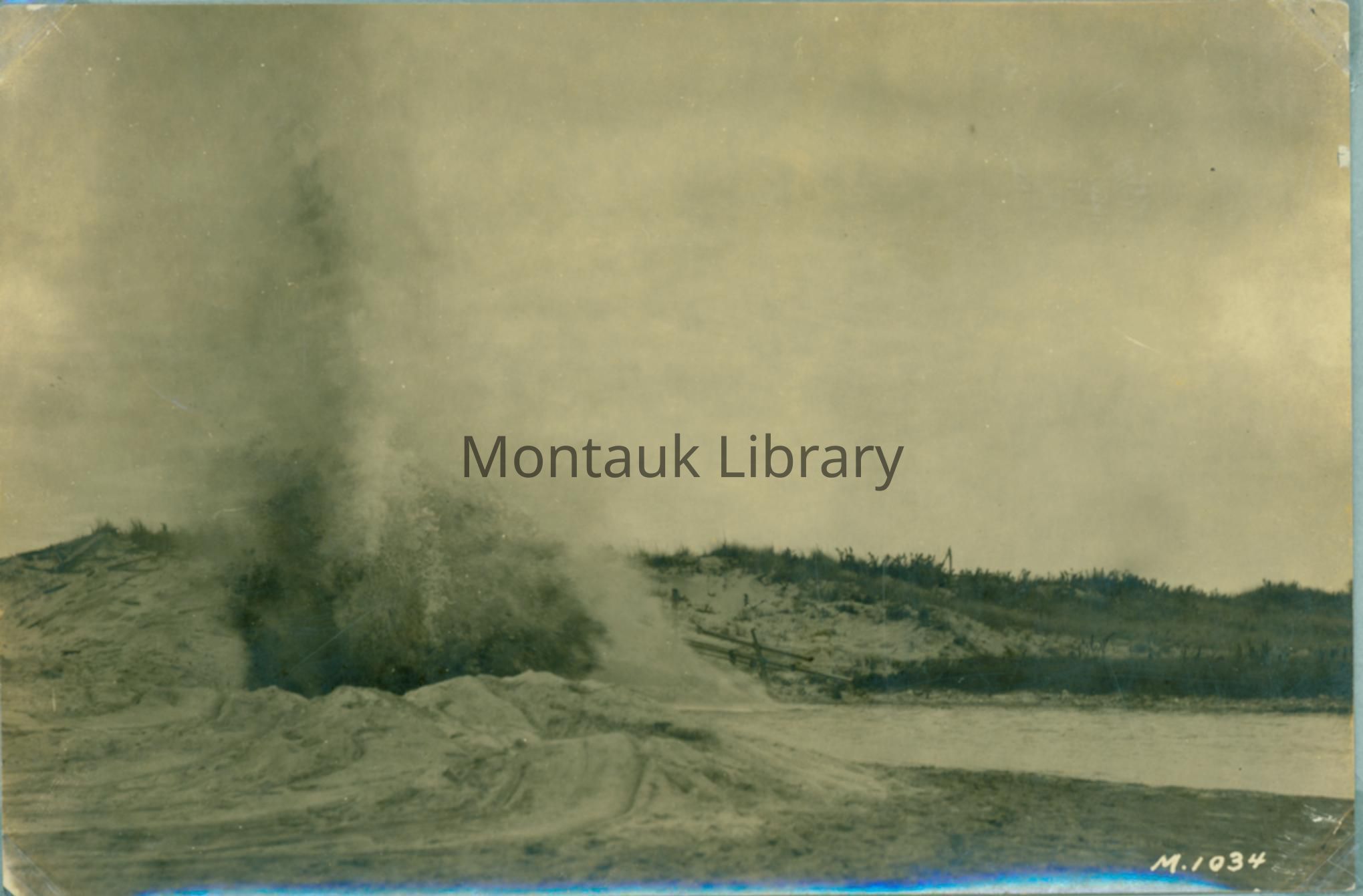
An album of 139 photographs depicting scenes in Montauk during the mid-1920s during the nascent days of the Montauk Beach Development Corporation's development of the previously sparse and wild landscape at Montauk. Pictures include early backers and developers scoping out the land, land surveyors surveying the coastline, digging and blasting land to create the inlet between Montauk Lake and the Block Island Sound, undeveloped grasslands and forest, expansive sand dunes, the road to Montauk Point, Montauk Inn, Second House, Third House, Coast Guard Station, Oyster Pond, and the Montauk Point Lighthouse bluffs. Portraits include T. E. Ringwood, Mrs. Theodore Conklin, Jonathan E. Miller (lighthouse keeper).
Archive Details
Creator
Montauk Beach Development Corporation
Date(s) of Creation
1920 - 1925
Archive Size/Extent
1 album, 139 photographs.
Restrictions
The collection is open for research and can be used within the library under the supervision of the archivist. Contact [email protected] to schedule a research appointment.
Acquisition
Acquisition Method
Gift
Acquired From
Montauk Beach Development Corporation
Copyright
Type of License
In copyright: http://rightsstatements.org/vocab/InC/1.0/
Copyright Holder
Montauk Library
Copyright Details
Researchers assume all responsibility for copyright questions. Fair use is permitted. For all other uses please contact [email protected].