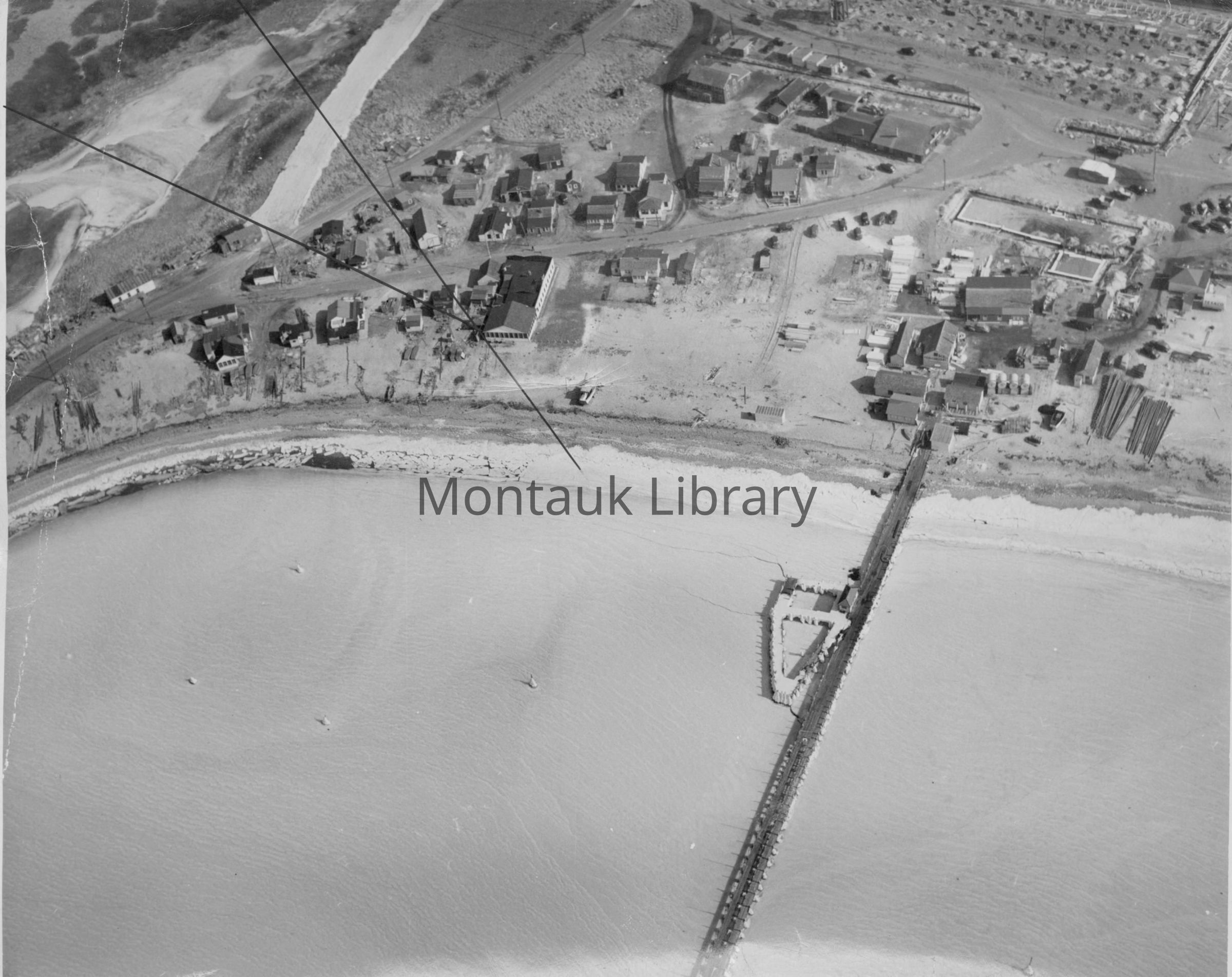
Aerial of the fishing village, circa 1940s | William C. Lange Fishing Village Aerial Photographs Collection, Montauk Library Archives
Name/Title
William C. Lange Fishing Village Aerial Photographs
Entry/Object ID
ARC.1745
Scope and Content
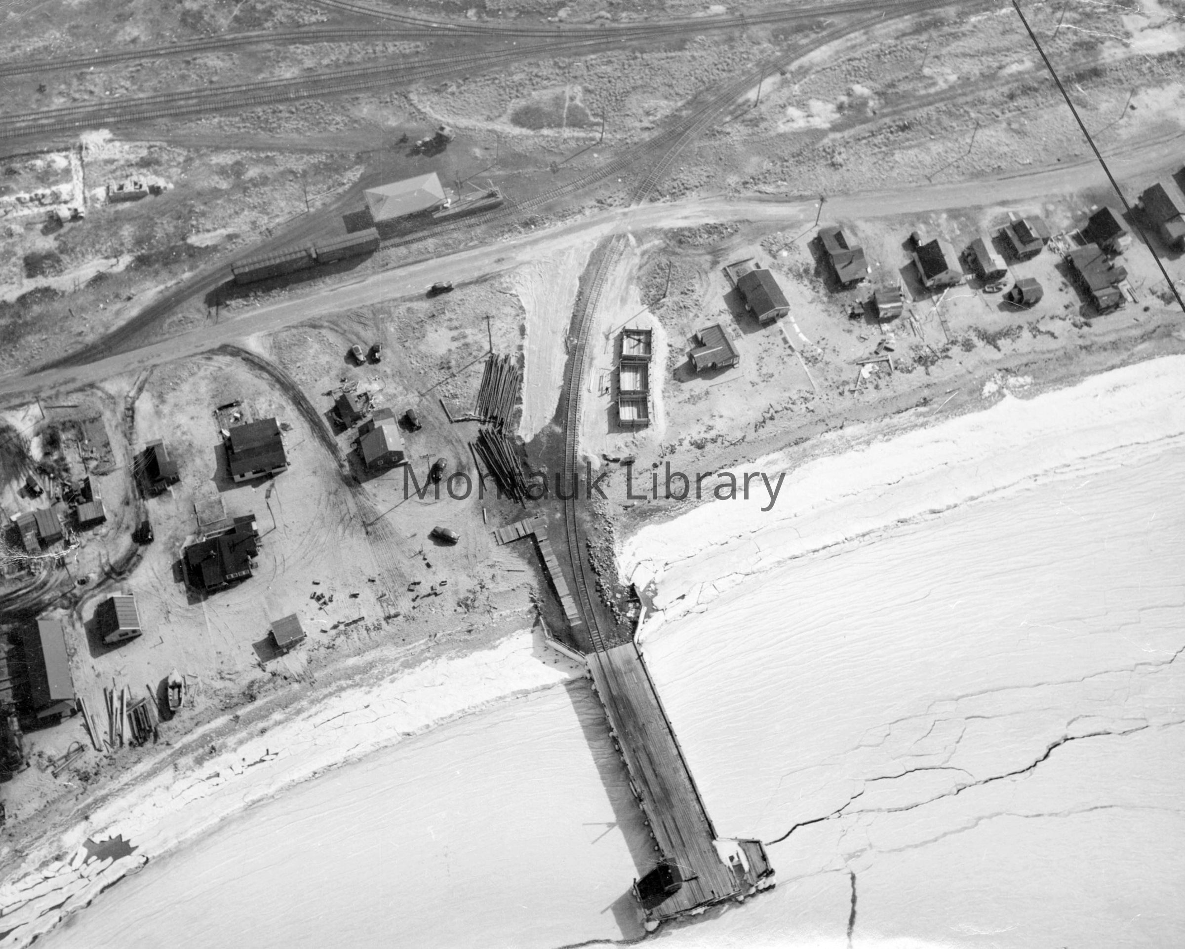
This collection consists of 18 scans of aerial photographs documenting Montauk's Fishing Village on Fort Pond Bay during winters in the 1930s–1940s. The photographs, many of which are dated February 1943, show a frozen coastline and sea ice extending out into the bay. The aerials also show the Long Island Rail Road Station and the U.S. Navy's Torpedo Testing Range. The collection may be of interest to researchers studying fishing villages of the first half of the century, the fishing industry, coastal climate, aerial photography, land use, and development.
Archive Details
Creator
William C. Lange
Date(s) of Creation
circa 1920 - 1943
Archive Size/Extent
18 digital images.
Restrictions
No restrictions. The collection is open for research. The Montauk Library holds digital access copies of this collection, the originals were returned to the donor. Contact [email protected] to view the collection.
Acquisition
Acquisition Method
Gift
Acquired From
William C. Lange
Copyright
Type of License
In copyright: http://rightsstatements.org/vocab/InC/1.0/
Copyright Holder
Montauk Library
Copyright Details
Researchers assume all responsibility for copyright questions. Fair use is permitted. For all other uses please contact [email protected].
General Notes
Note Type
Historical Note
Note
Original description lists items as "aerials of the Fort Pond Bay fishing Village after 1938 and before the Navy took it over in 1942." However, this does not match up with photograph metadata attributing the photographs to February 1943.