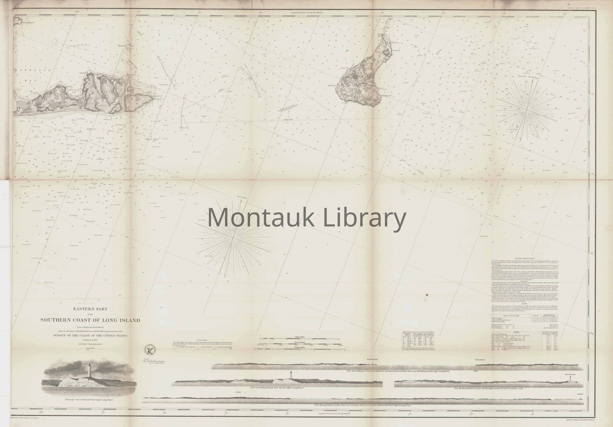
U.S. Coast Survey, Eastern Part of the Southern Coast of Long Island from a Trigonometrical Survey, 1857
Name/Title
U.S. Coast Survey, Eastern Part of the Southern Coast of Long Island from a Trigonometrical Survey, 1857
Entry/Object ID
ARC.2736
Description
This chart covers the waters off far eastern Long Island, the eastern tip of Gardiners Island, and extending east to beyond Block Island. It is filled with excellent navigational detail including soundings, bottom types, reefs, shoals, magnetic variation, sailing directions and more. Features four coastal approach views at the bottom and telescopic view illustrations of the Montauk Lighthouse. Published under the direction of A.D. Bache.