Name/Title
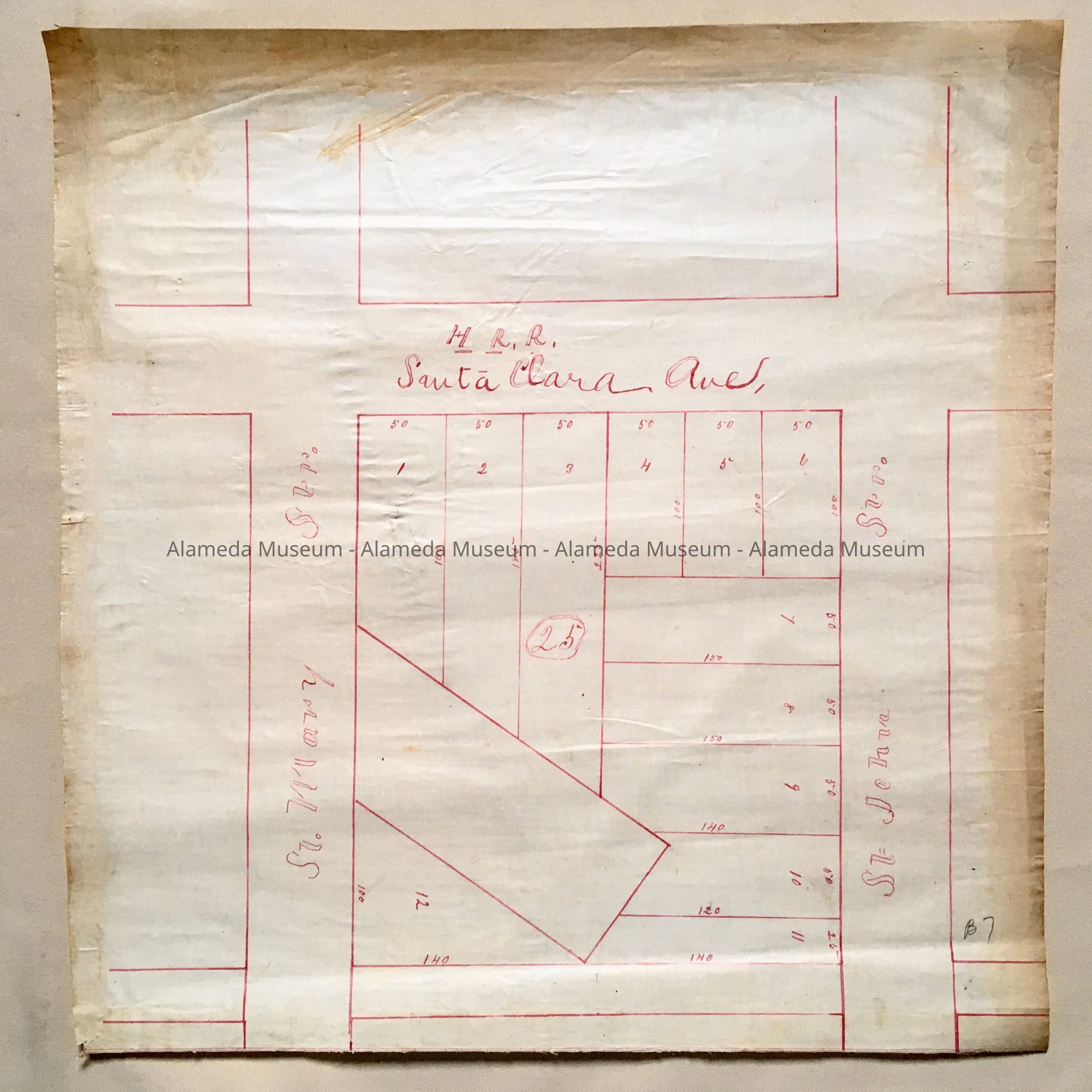
Map of Block 25, bounded by St. Mary St. / St. John St. / Sta Clara Ave, c. 1870sEntry/Object ID
2002.80.7Description
Acc. No. 02.80.7
Subject: Maps
Date or Period: circa 1870's
Object: Maps, Subdivision
Description:
Crudely hand-drawn map in red-colored ink on white-colored polished linen paper.
Size: L18 x W17 inches.
History:
Early map depicting block bounded by St. Mary and St. John Streets and Santa Clara Avenue, being Block 25 This collection of maps, etc., found in the attic of City Hall prior to the rehabilitation and seismic upgrades in the late 1990's.
Acquired From: City of Alameda
Date: 7/28/02