Name/Title
Subdivision Map of property in Boulevard District, c. 1890Entry/Object ID
1997.402.32Description
Acc. No. 97.402.32
Subject: Land
Date/Period: circa 1890
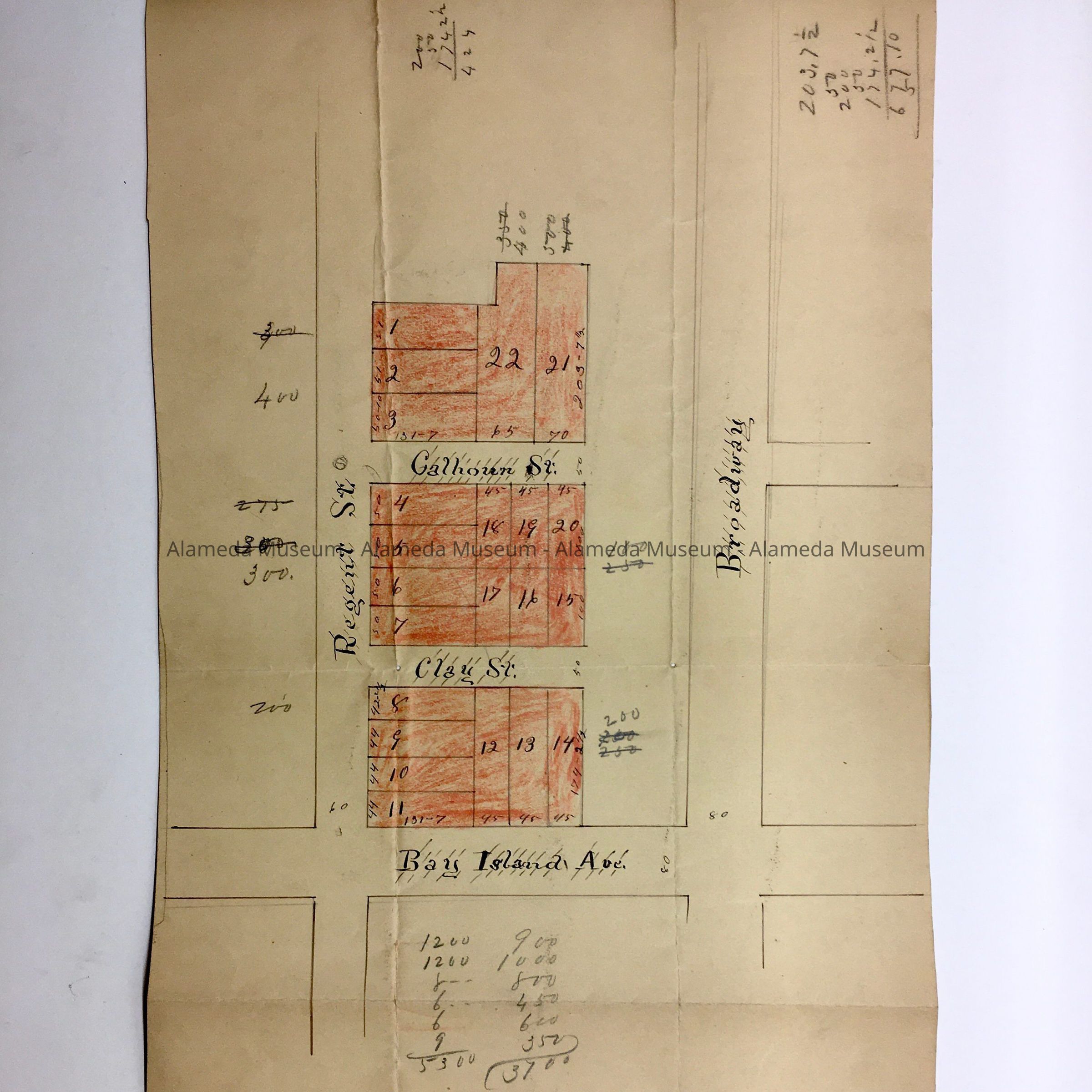
Object: Map, Subdivision
Description:
Map hand drawn in ink on off-white colored background showing individual lots which has been shaded with red-colored pencil.
Size: L16-1/2” x W9-1/2”
History:
Hand drawn subdivision map of property in the Boulevard District which includes Regent, Calhoun, Clay Streets, and Bay Island Avenue (now know as Otis Drive). The property was developed after 1892.
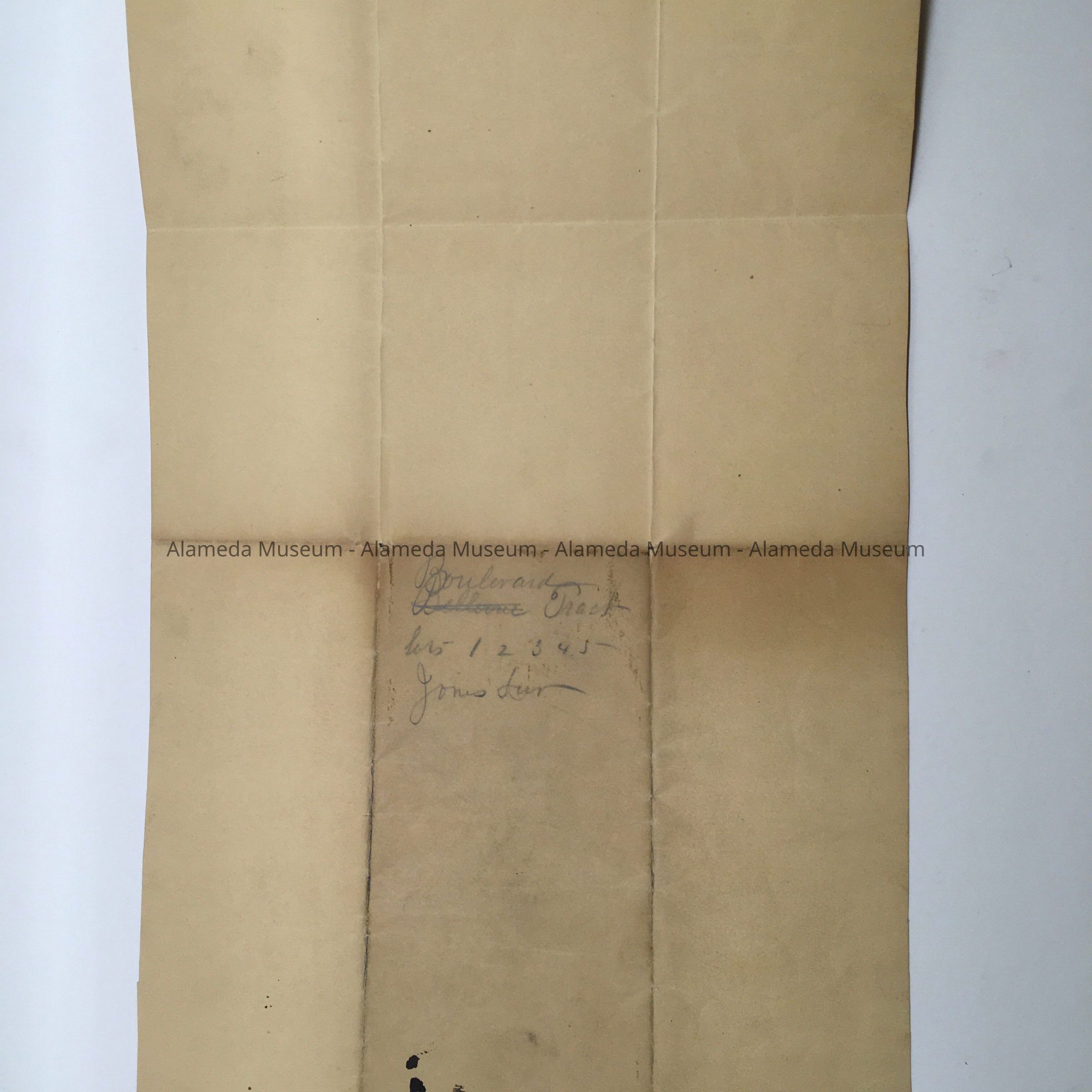
Entire collection given to the Alameda Historical Society prior to 1971 and never catalogued. At present, housed in looseleaf binder with hard cover of imitation blackcolored leather in individual plastic sleeves.
Acquired From:
Unknown
Date: 8/16/97