Name/Title
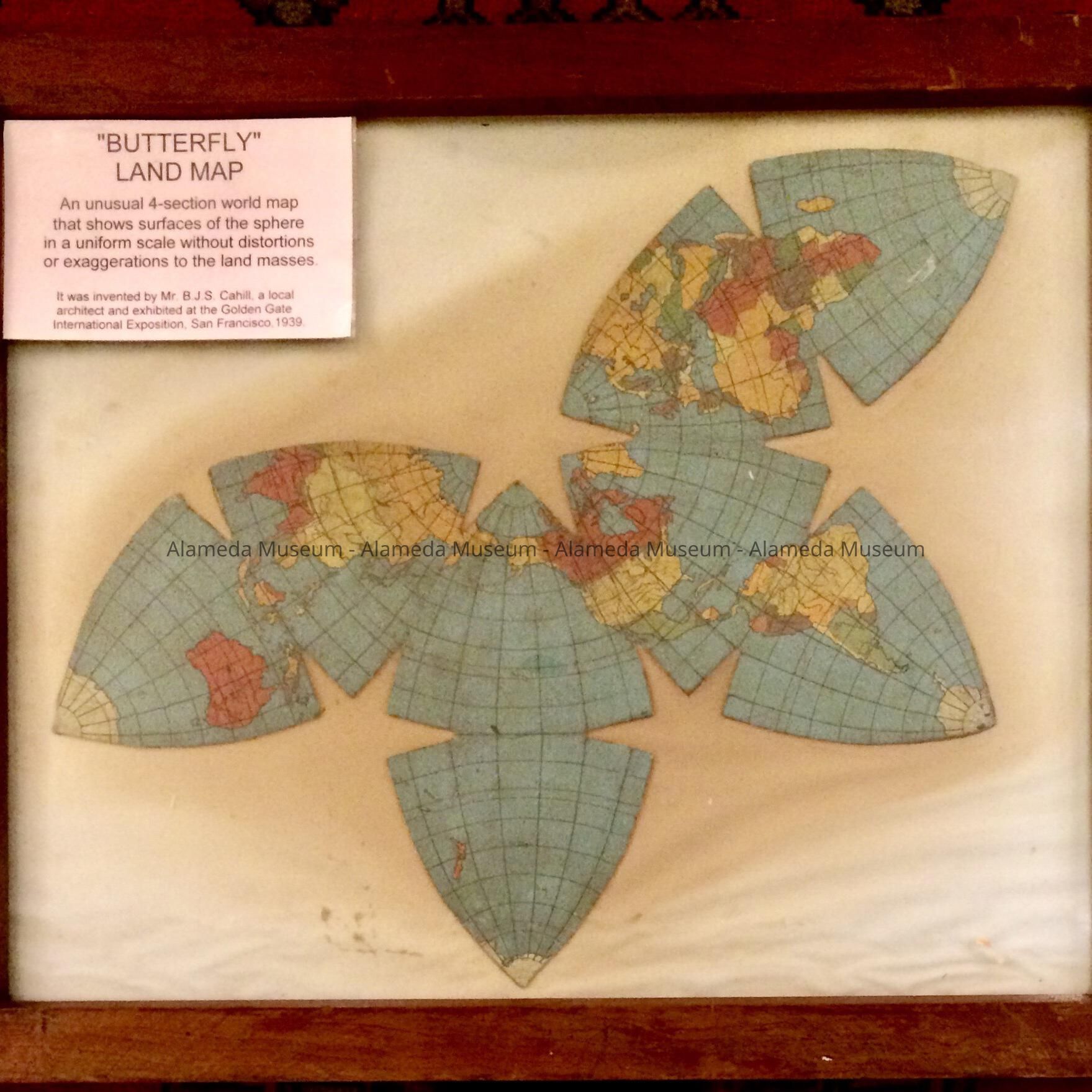
Framed butterfly world map invented by B.J.S. Cahill, c. 1930Entry/Object ID
2017.25.1Description
Acc. No. 17.25.1
Subject Category: Printed Matter (map)
Date or Period: c. 1930
Object: Map, framed
Description: A four-section world map, multi-colored, mounted on off-white colored paper under glass in a dark stained wooden frame.
Size: L-21 x W-24 3/4 in.
History of Object: A "butterfly" land map that was invented by Mr. B.J.S. Cahill, a former Alameda architect. This was his original map and it shows the surfaces of the sphere to a uniform scale without exaggerations, distortions or disruptions to the land masses. He was honored by the U. S. Government for his invention. It was on display at the G.G.I.E in 1939.
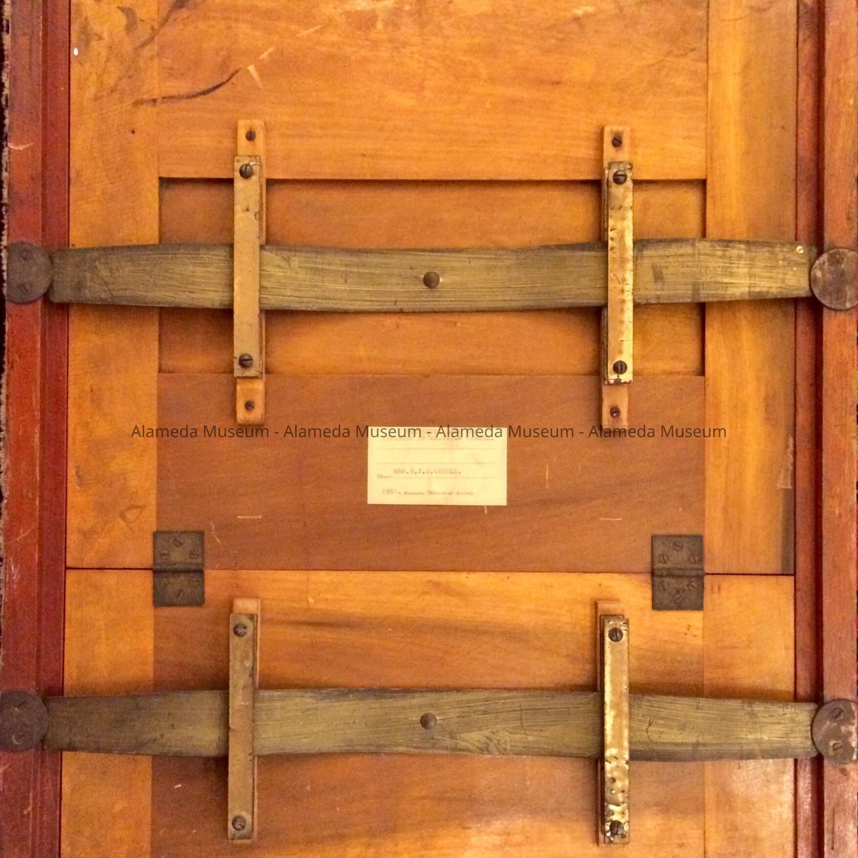
This item was donated in 1955, but was never cataloged.
Acquired from: Mrs. B. J. S. Cahill
Date: 07/15/17Interpretative Labels
Label
1/8/2021 MvL: current sign:
"BUTTERFLY"
LAND MAP
An unusual 4-section world map that shows surfaces of the sphere in a uniform scale without distortions or exaggerations to the land masses.
It was invented by Mr BJS Cahill, a local architect and exhibited at the Golden Gate International Exposition, San Francisco. 1939