Name/Title
Subdivision map of Regent and Calhoun Streets, before 1950Entry/Object ID
1997.402.34Description
Acc. No. 97.402.34
Subject: Land
Date/Period: Unknown
Object: Map, Subdivision
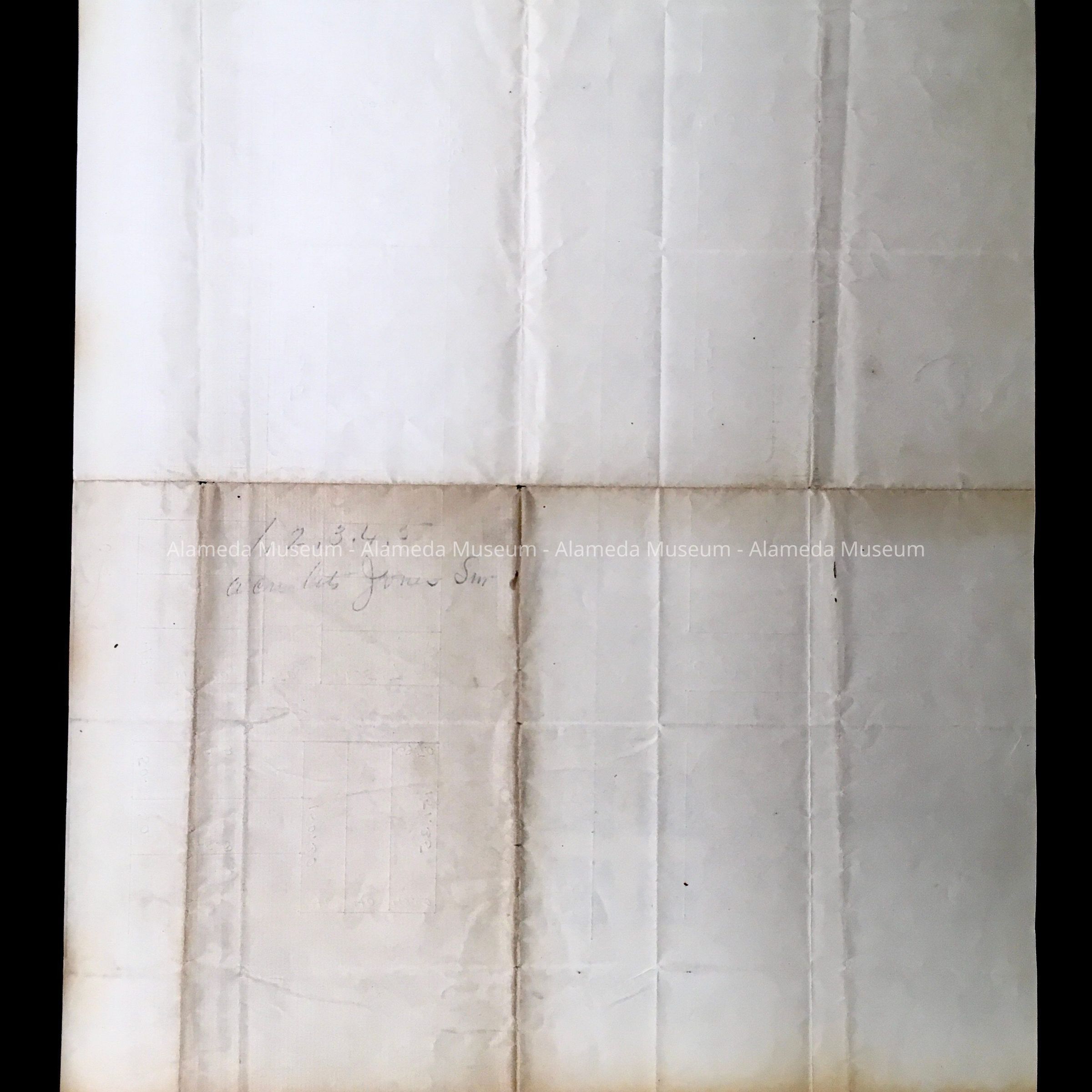
Description:
Map hand drawn in pencil on white-colored tissue paper.
Size: L14” x W11"
History:
Crude hand drawn subdivision map depicting Regent and Calhoun Streets near Bay Island Avenue (now known as Otis Drive).
Entire collection given to the Alameda Historical Society prior to 1971 and never catalogued. At present, housed in looseleaf binder with hard cover of imitation blackcolored leather in individual plastic sleeves.
Acquired From:
Unknown
Date: 8/16/97