Name/Title
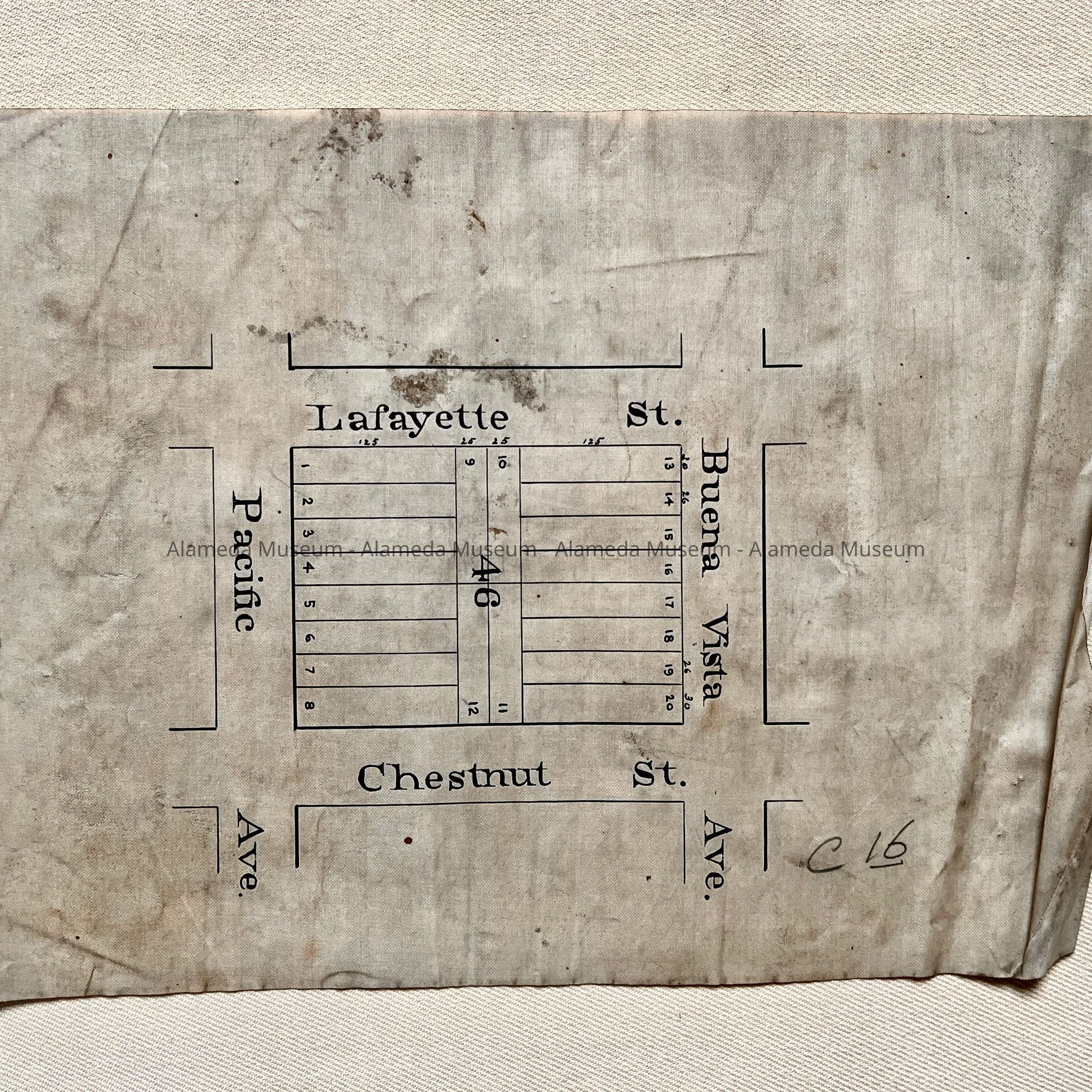
Subdivision Map of Block 46, Pacific / Buena Vista / Lafayette / Chestnut, c. 1890sEntry/Object ID
2002.80.3Description
Acc. No. 02.80.3
Subject: Maps
Date/Period: circa 1890's
Object: Maps, Subdivision
Description:
Appears to be a hand-drawn subdivision map in black-colored ink on polished linen paper.
Size: L9-1/4 x W6-3/4 inches.
History:
Subdivision map showing Block 46 divided into individual lots in a section bounded by Pacific, Buena Vista Avenues, Lafayette and Chestnut Streets.
This collection of maps, etc., found in the attic of City Hall prior to the rehabilitation and seismic upgrades in the late 1990's.
Acquired From: City of Alameda
Date: 7/28/02