Name/Title
Map 'Proposed Canal'; Oak / Park / San Antonio Creek / Buena Vista, c. 1870sEntry/Object ID
2002.80.11Description
Acc. No. 02.80.11
Subject: Maps
Date or Period: circa 1870's
Object: Maps, Subdivision
Description:
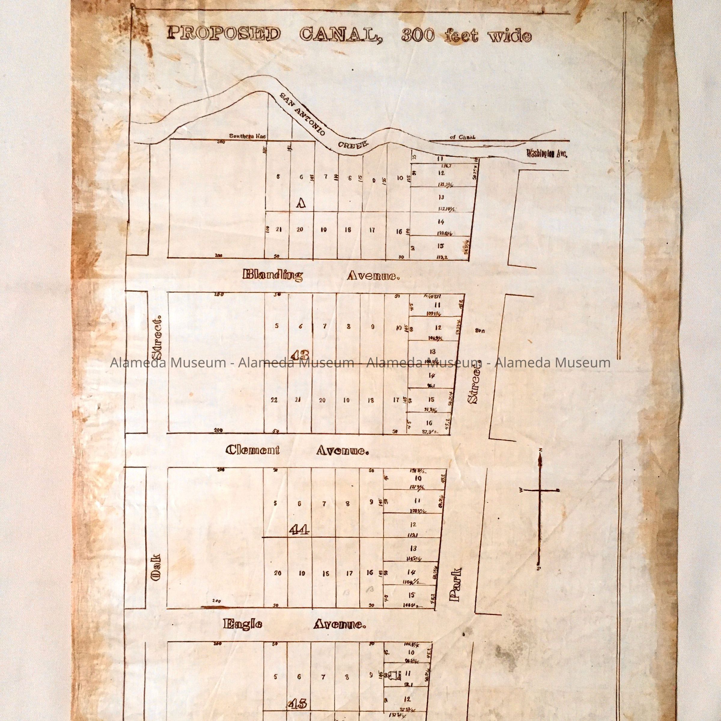
Hand-drawn map in sepia-colored ink with bold-printed caption, “Proposed Canal 300 Feet Wide” on off-white polished linen paper.
Size: L22 x W15-1/2 inches.
History:
Map which appears to be a prototype and eventual lithographic print of a subdivision of property located in an area bounded by Oak and Park Streets, San Antonio Creek and Buena Vista Avenue.
This collection of maps, etc., found in the attic of City Hall prior to the rehabilitation and seismic upgrades in the late 1990's.
Acquired From: City of Alameda
Date: 7/28/02