Name/Title
Subdivision Map, Central / Railroad (Lincoln) / St. Charles / St. Mary, 1870sEntry/Object ID
2002.80.19Description
Acc. No. 02.80.19
Subject: Maps
Date or Period: 1870's
Object: Maps, Subdivision
Description:
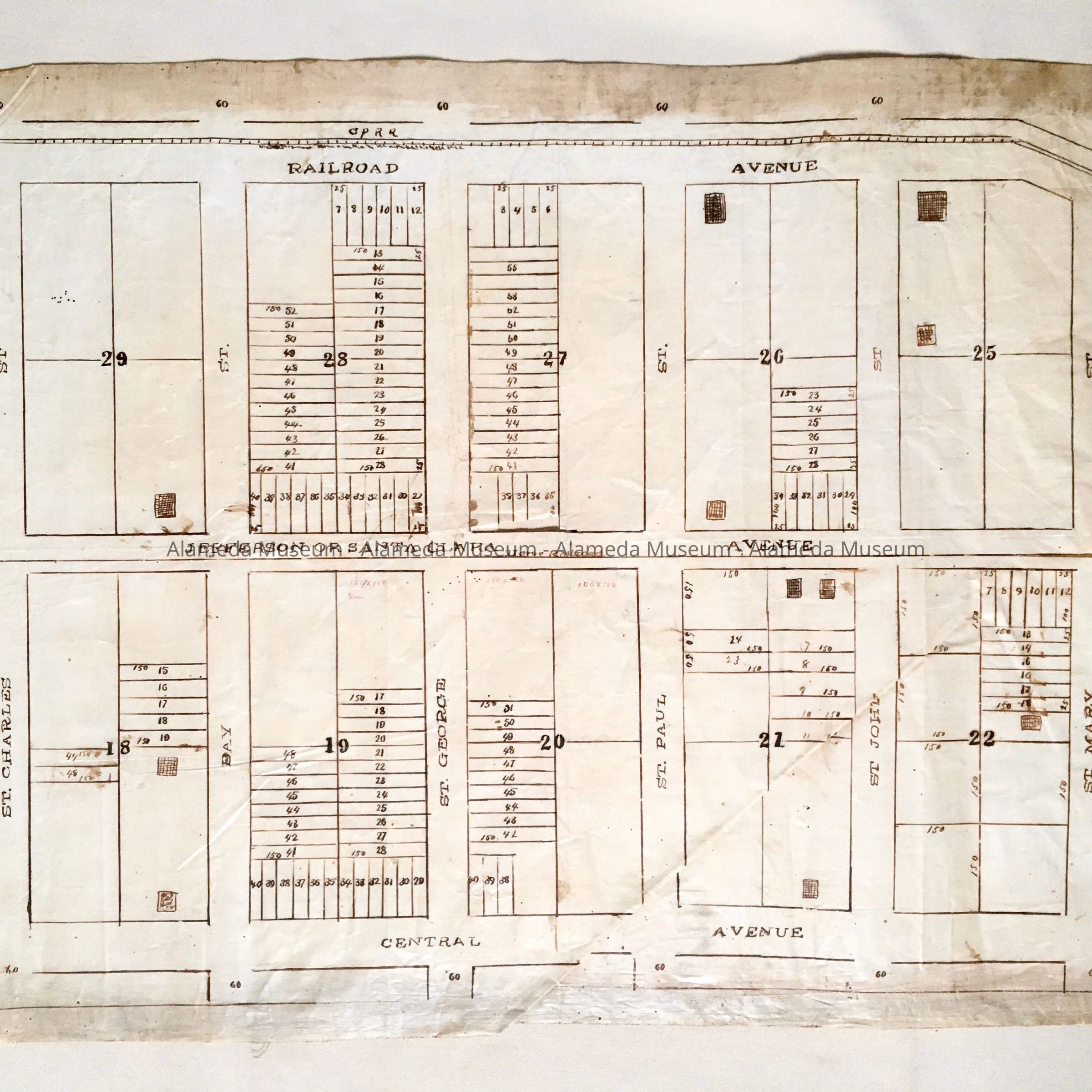
Hand-drawn map in sepia-colored ink on off-white colored polished linen paper.
Size: L17 x W22 inches.
History:
Subdivision map depicting property bounded by Central and Railroad (Lincoln) Avenues, St. Charles and St. Mary Streets. Santa Clara Avenue is labeled “Jefferson Avenue or Santa Clara" and indicates a horse railroad. This collection of maps, etc., found in the attic of City Hall prior to the rehabilitation and seismic upgrades in the late 1990's.
Acquired From: City of Alameda
Date: 7/28/02