Name/Title
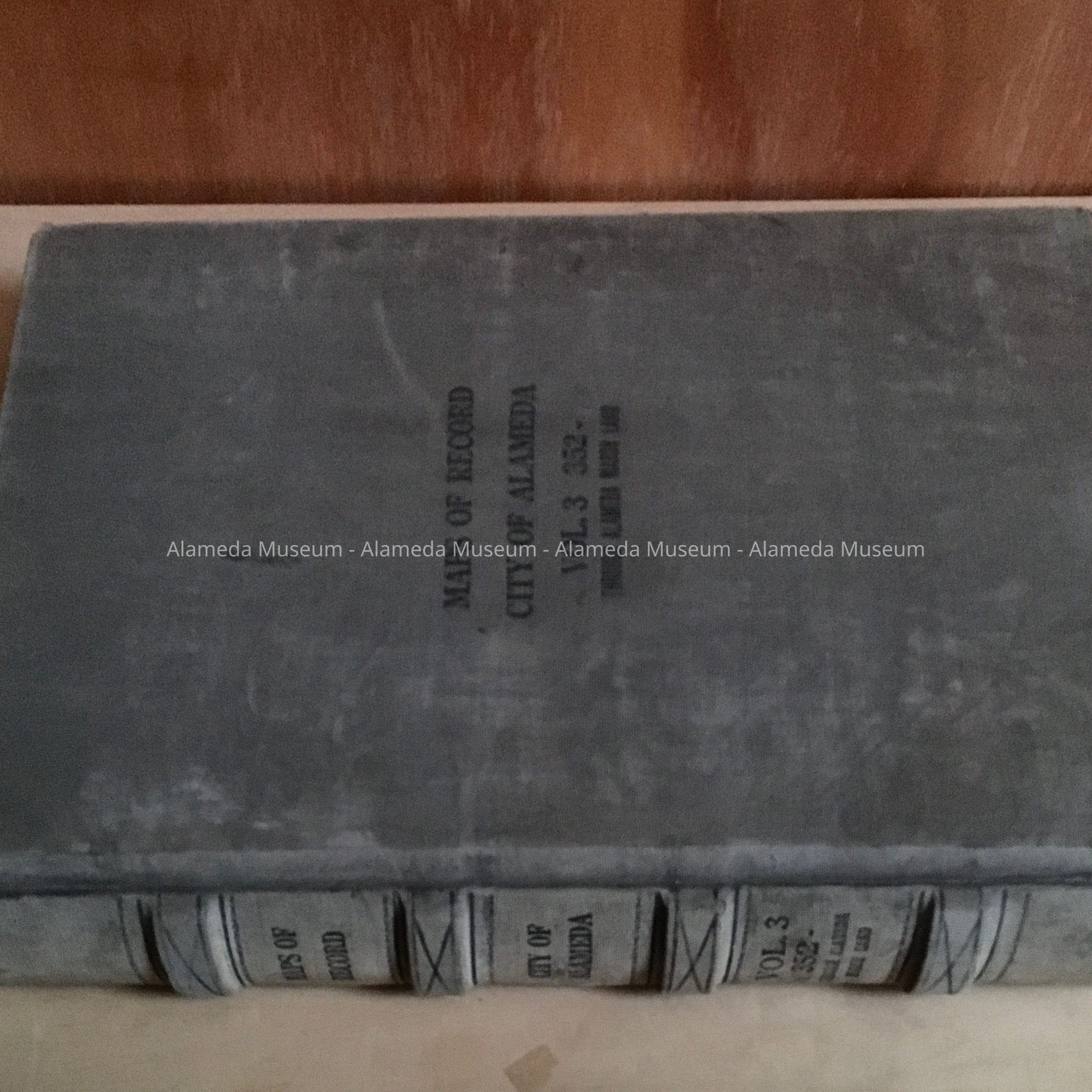
Maps of Record, Vol. 3 352 through Alameda Marshlands, 1940sEntry/Object ID
1981.208.3Description
Acc. No. 81.208.3
Subject Category: City of Alameda, Assessor Office
Date or period: 1940's
Object: Ledger, Maps of Record
Description: Hardbound volume, gray binding. On the spine of book "Maps of Record. Vol. 3 352 through Alameda Marshlands".
Size: 18½" X 15½".
History of Object: The book is similar to a block book giving the individual parcel owners and dimensions of lots and tract names. The book is not dated but it is believed (due to the fact that we know the 450 Taylor parcel was purchased June, 1942) to contain early 1940's owners.
Acquired from: City of Alameda
Date: