Name/Title
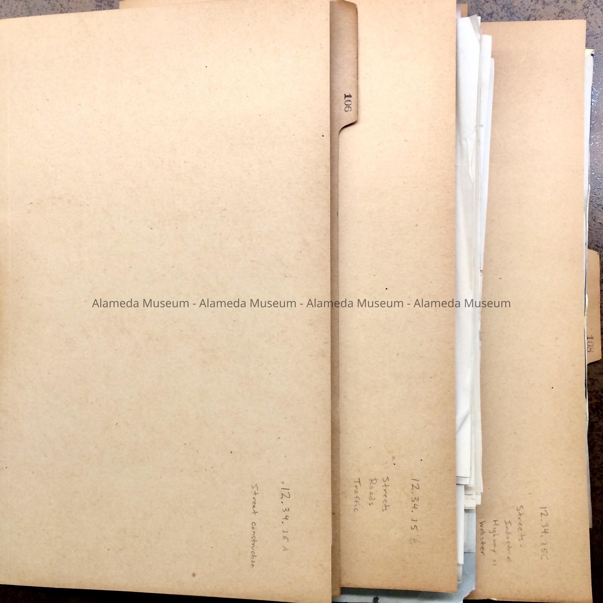
City Folders about Streets, #106-108, 1924-1932Entry/Object ID
2012.34.15Scope and Content
Acc. No. 12.34.15 A, B, C
Subject or Category: City of Alameda
Date or Period: 1924-1932
Object: folders, file
Description: Legal-size file folders, stamped with a number on the folder tab, with documents, marked on the reverse with numbers from 106, 107, 108, and a sequence number.
History of Object: Folders with documents found in the attic of City Hall in the 1990s. The documents pertain to:
A. (folder #106): Street Opening (lane extending Morton between San Jose and Clinton - only partially now; Eagle) and closing (Concordia), of streets and 1926 traffic (stop) sign placement changes
B. (folder #107): various petitions, requests, for adjustment, opening, improving of streets, designation of certain streets as highway, official renaming of Bay Island Ave to Otis Drive (#107-49 & 307-53), and Marian Ave to Delmar Ave (107-54), includes a map for the San Francisco Airdrome past the segregation line (#107-31), proposed diagonal road to Bay Farm Island Bridge (#107-50); and requests to have streets on Bay Farm Island, and around the Posey Tube portal, fixed.
C. (folder #108): opening of a street along the Segregation Line, called the Industrial Highway; includes references to the University of California and Alameda Belt Line, and bids, blueprint map and profile schema, and contract.
Acquired from: City of Alameda
Cataloged: April 24, 2012