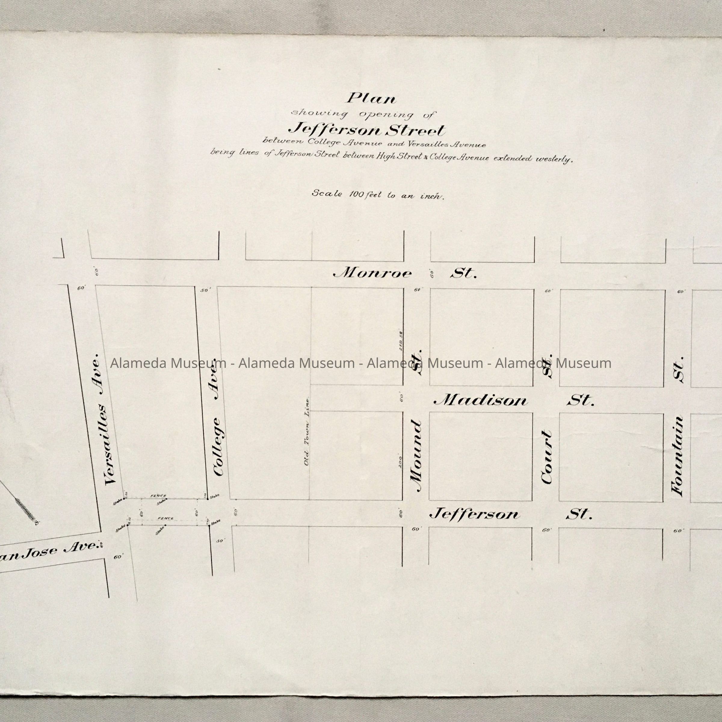
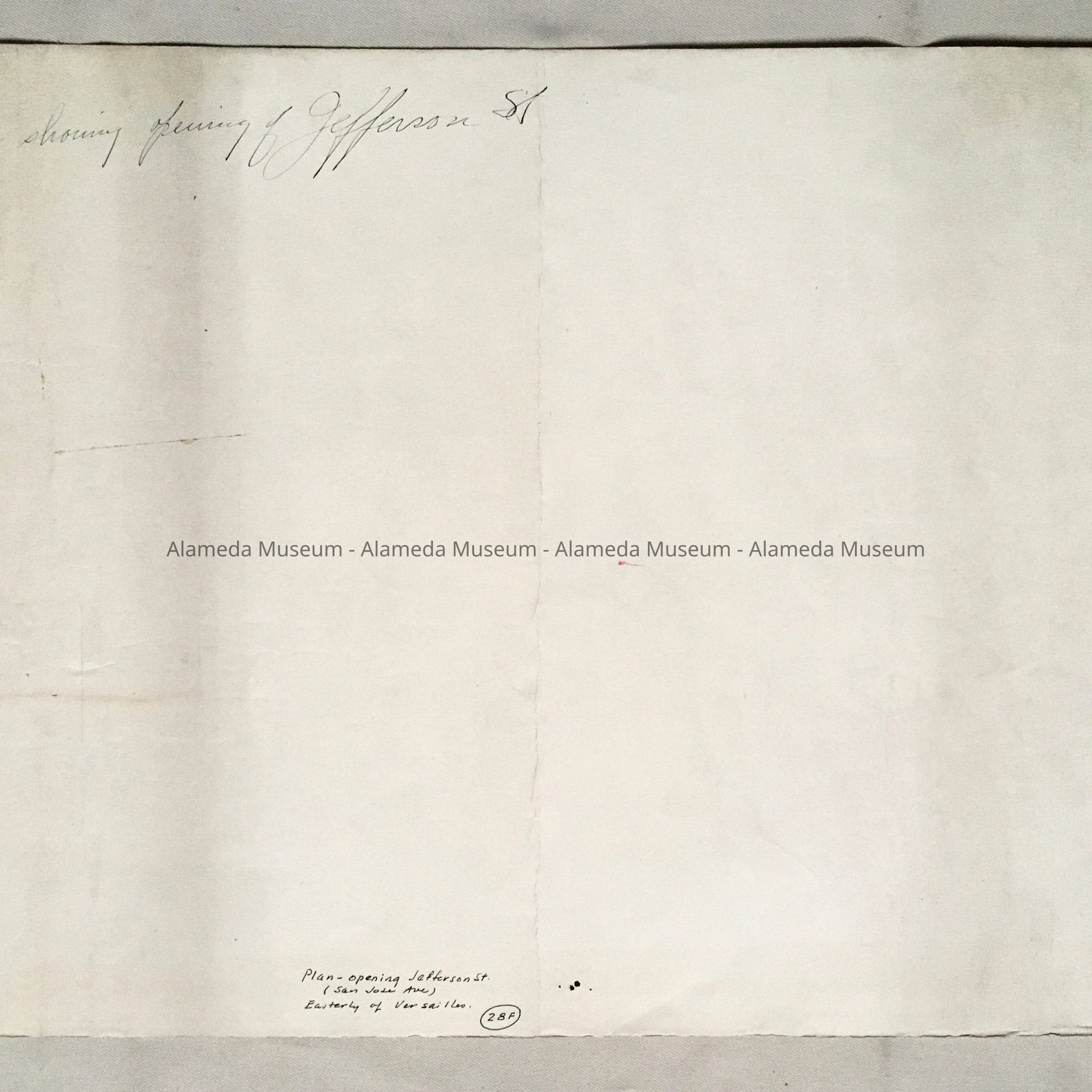
Name/Title
Map for opening of Jefferson Street (San Jose), 1890sEntry/Object ID
2002.53.7Description
Acc. No. 02.53.7
Subject: City of Alameda
Date or Period: 1890's
Object: Map
Description:
Hand-drawn map with bold-printed caption, “Jefferson Street” in black-colored type on an off-white colored background.
Size: L14-3/4” x W21-3/4”.
The following collection of documents found in the attic of the City Hall prior to refurbishment of the building in the 1990's.
History:
Drawing giving a plan for the opening of “Jefferson Street” now known as San Jose Avenue between College and Versailles.
Acquired From: City of Alameda
Date: 2/23/02