Name/Title
Prototype map Oak Shade Tract, McPherson (Ninth) / Shoreline / Taylor, 1877Entry/Object ID
2002.80.20Description
Acc. No. 02.80.20
Subject: Maps
Date or Period: 1877
Object: Maps, Subdivision
Description:
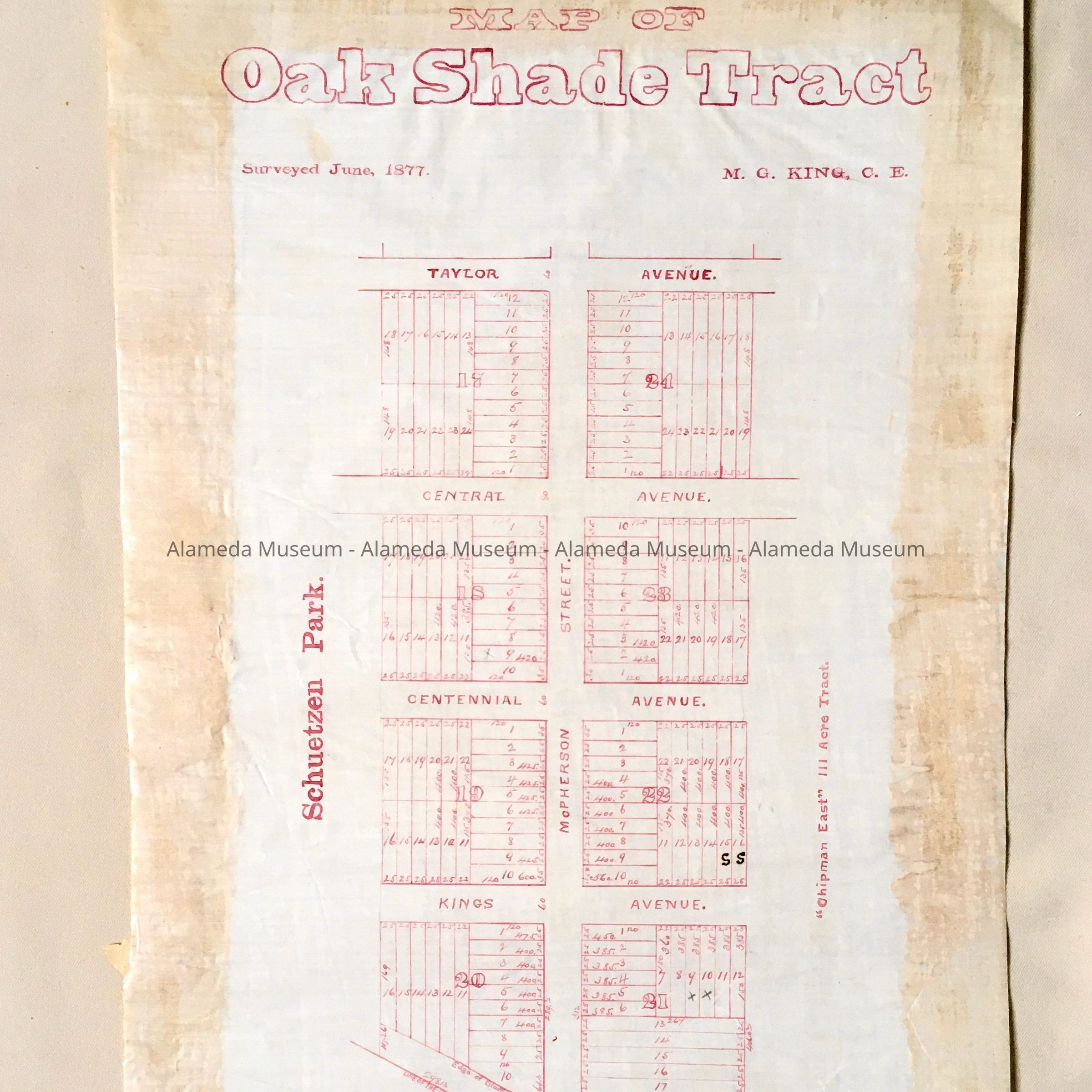
Hand-drawn map in red-colored ink on off-white colored polished linen paper with bold printed caption, “Map of Oak Shade Tract”.
Size: L22 x W14 inches.
History:
Map appears to be a prototype for an eventual printed map of property located on McPherson (now known as Ninth Street) and bordered between Shoreline (tide lands) and Taylor Avenue. Street labeled Kings Avenue is now an extension of San Antonio. This collection of maps, etc., found in the attic of City Hall prior to the rehabilitation and seismic upgrades in the late 1990's.
Acquired From: City of Alameda
Date: 7/28/02