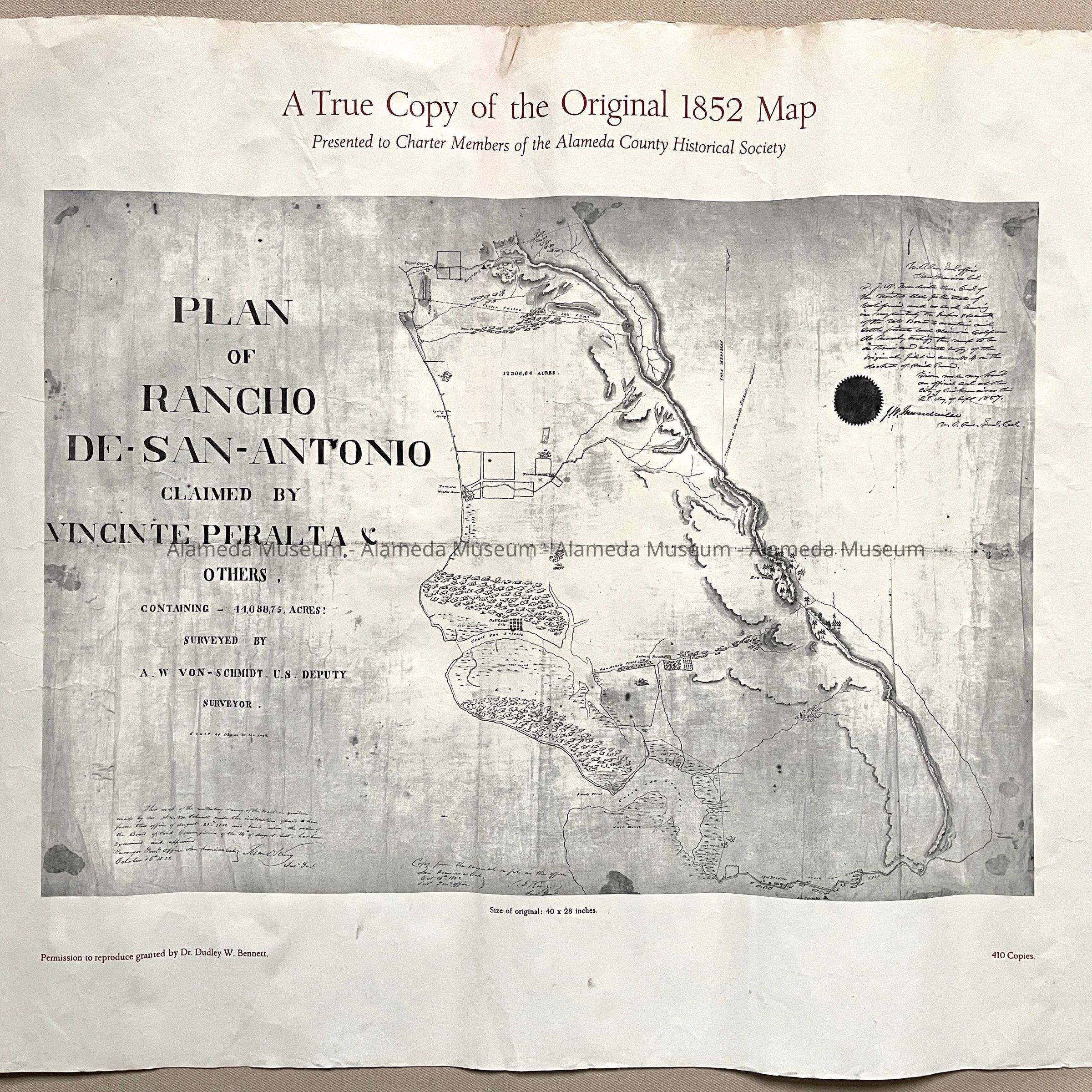
Name/Title
Photocopy Plan of Rancho San Antonio, 1852, 1966?Entry/Object ID
2023.35.3Description
Acc. No. 23.35.3 A, B
Subject Category: Rancho de San Antonio, Peralta
Date or Period: 1852, 1966?(A), 1993 (B)
Object: Map, Photocopy
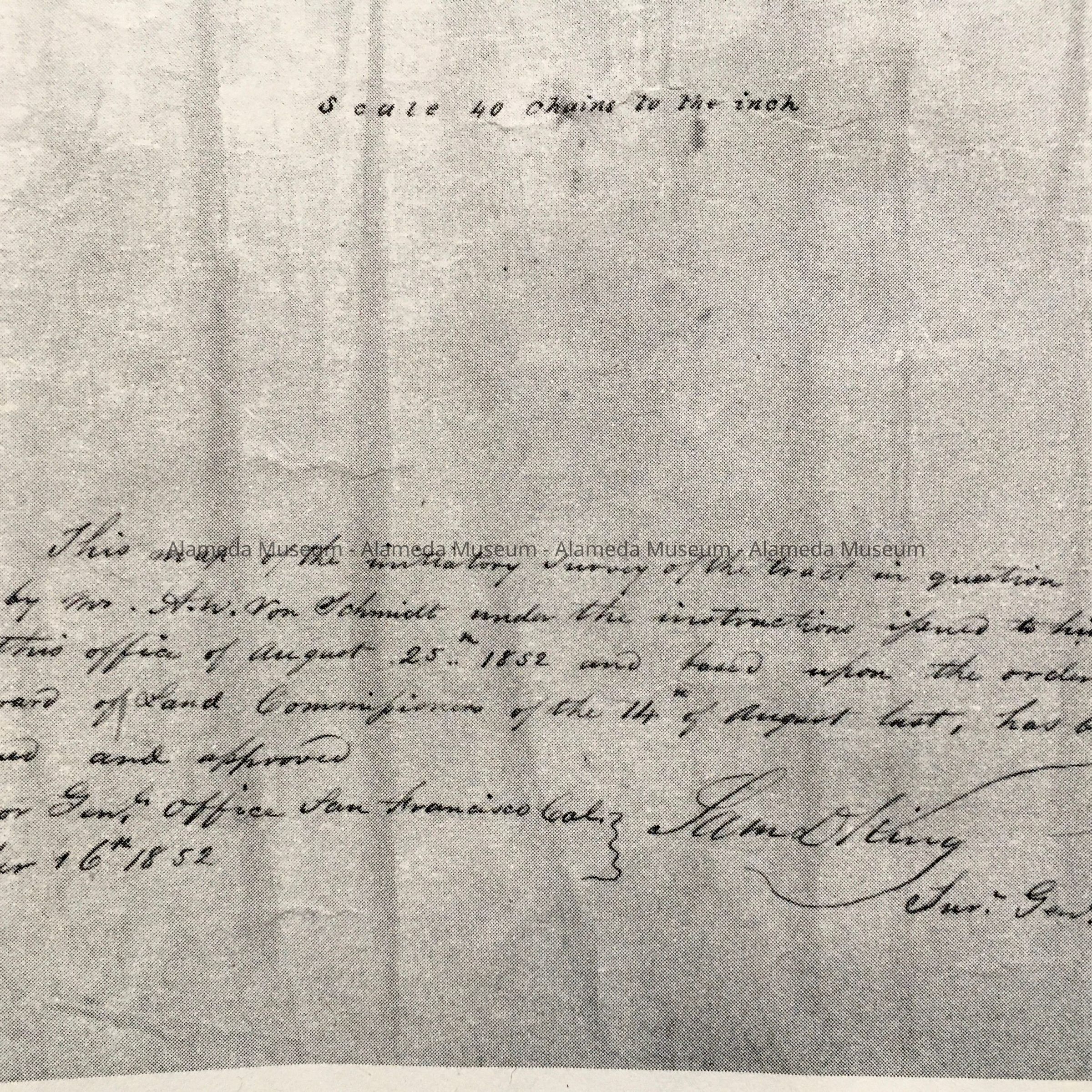
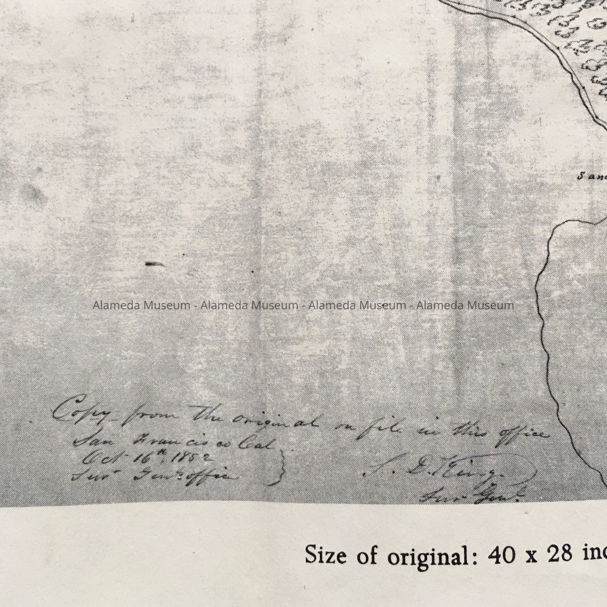
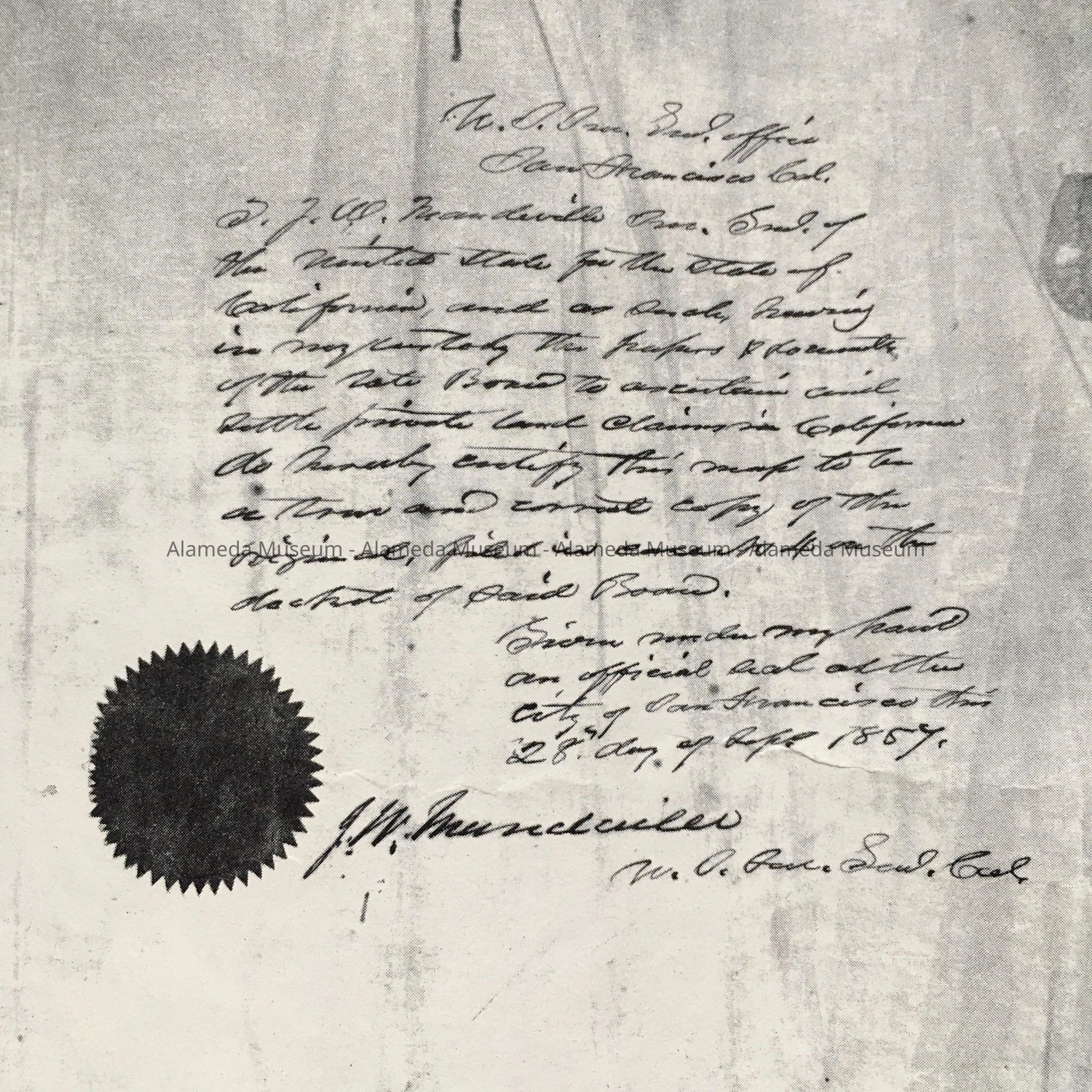
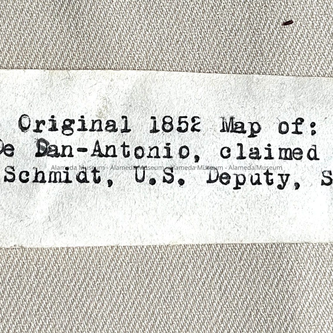
Description: photocopies on off-white paper of a map, titled in red type 'A true Copy of the Original 1852 Map'. The map itself was titled 'Plan of Rancho de San Antonio claimed by Vincinte Peralta & others, Surveyed by A.W. Von Schmidt - U.S. Deputy Surveyor.' Underneath is printed, also in red, for A: 'permission to reproduce granted by Dr. Dudley W. Bennett' and '410 Copies'. B. Is a copy of the same map, but has additional text in red on the left bottom; ‘Presented by the Alameda County Historical Society’ and at right bottom: ‘500 copies 1993’.
In black is printed: 'Size of original: 40 x 23 inches'.
Size (photocopy): L 17 1/2 x W 22 1/4 inches
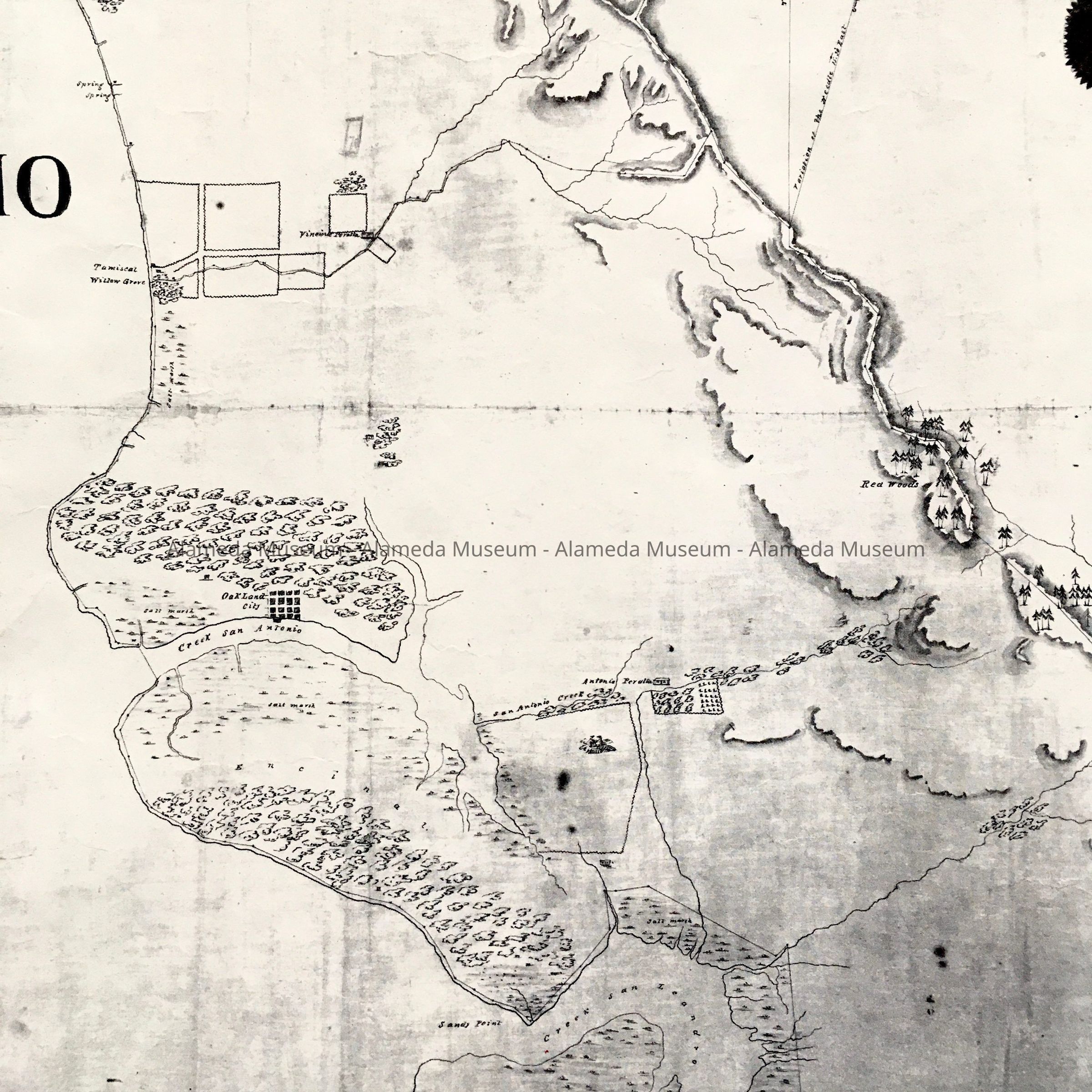
History of object: photocopies found among uncataloged maps. The original photocopy was presented to Charter Members of the Alameda County Historical Society. This society was founded in 1966, the copy may date from that time. B. Is from another reprint from 1993. The early map of the Rancho San Antonio shows a grid for Oakland City, Alameda as mostly marshland with a sandy ridge of oaks, and location of Antonio Peralta's ranch.
Acquired from: unknown
Catalog Date: 11/13/2023