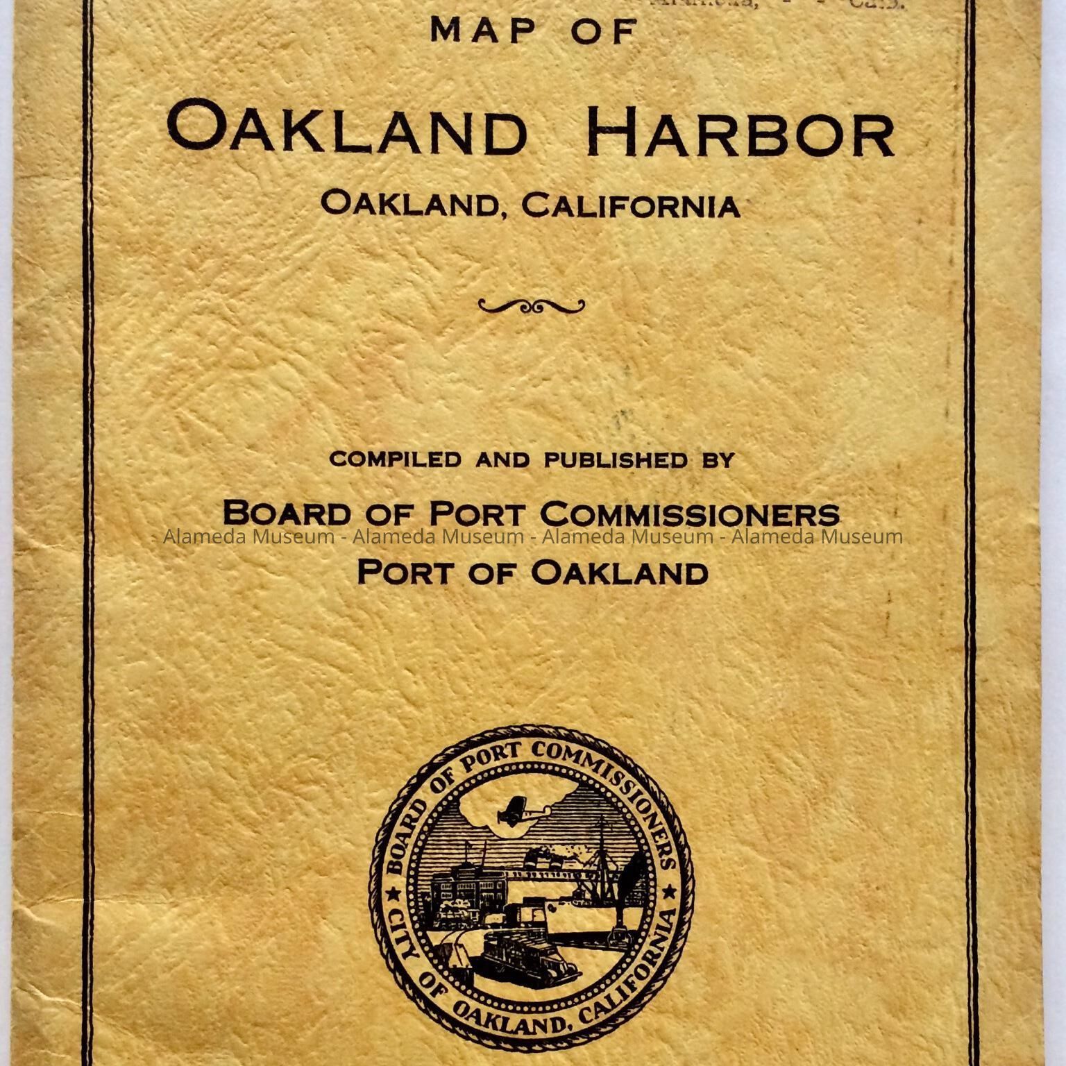
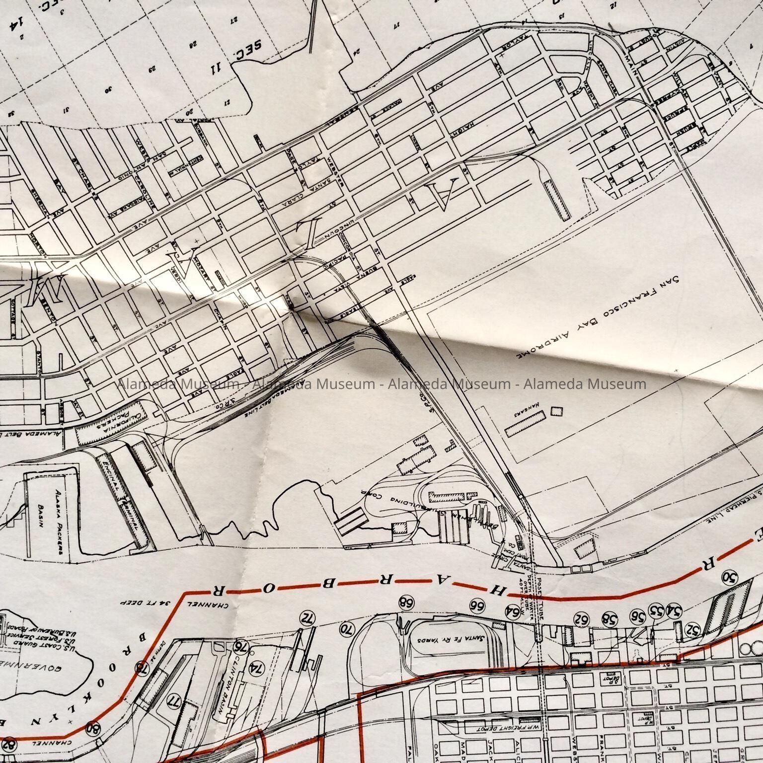
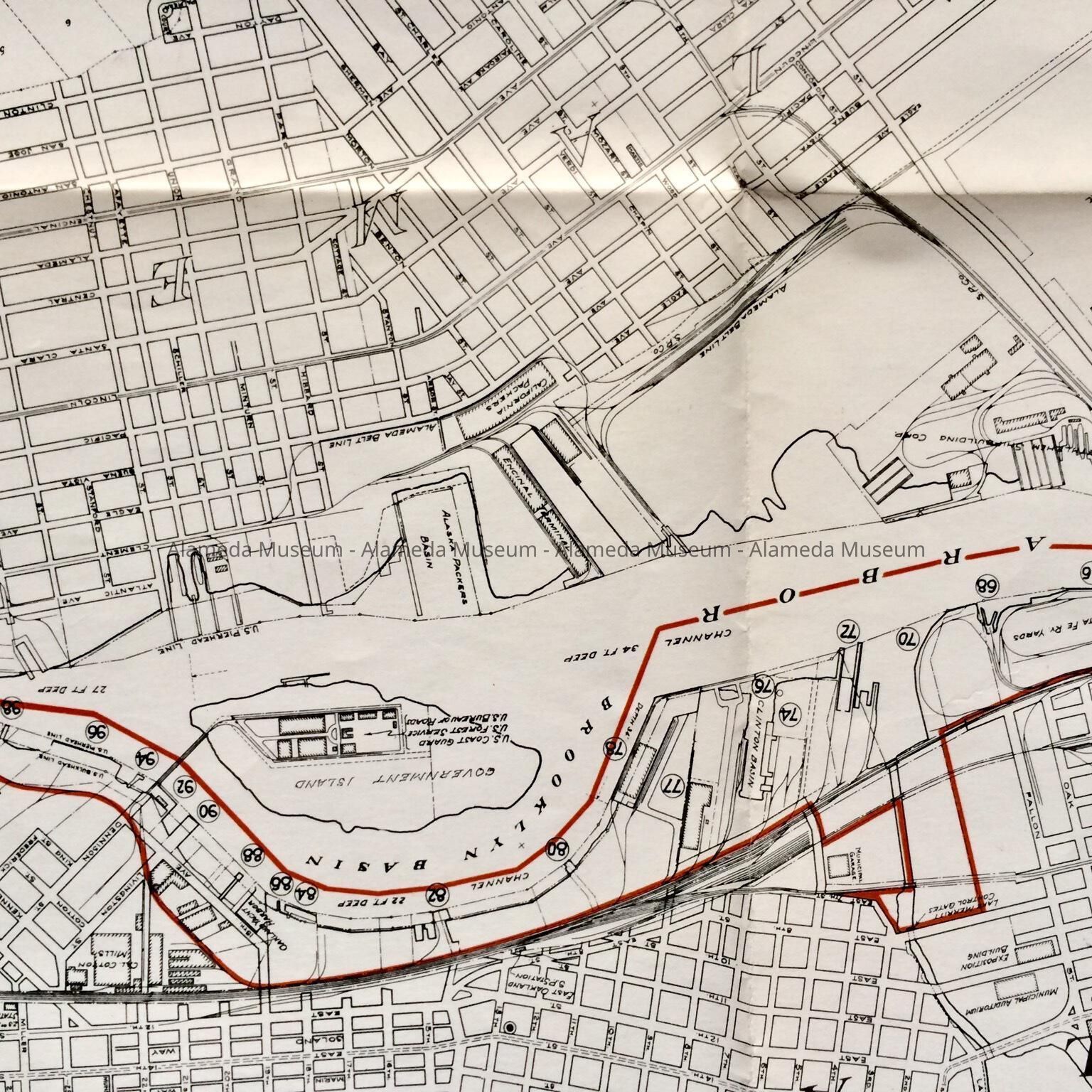
Name/Title
Folding map of Oakland Harbor, by Port of Oakland, 1936Entry/Object ID
2011.53.8Description
Accession No. 11.53.8
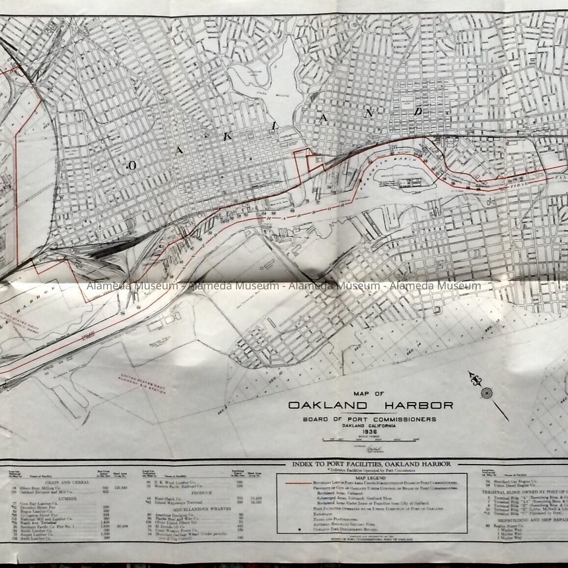
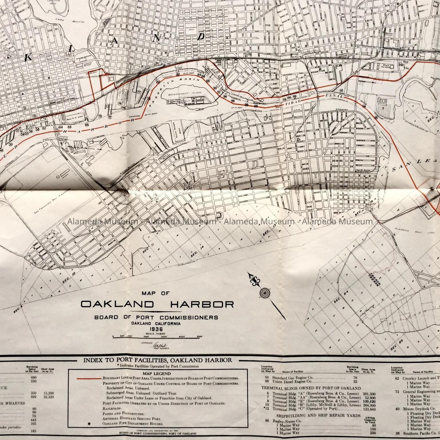
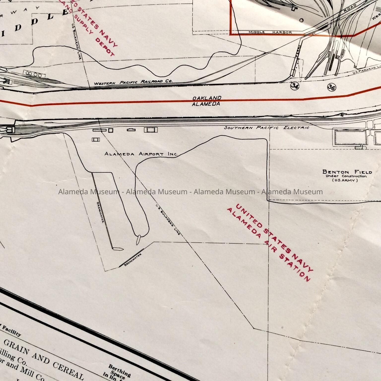
Subject Category: City of Alameda; Estuary
Date or Period: 1936
Object: Map
Description:
Folding map in yellow-tan, leather-look paper stock with black type caption: “Map of Oakland Harbor”. Map is on ordinary strength paper, printed in black ink with red accents.
Size: booklet: L 10” X W 6 1/2”; Map L 20” X W 49"
History of Object: Map of Oakland Harbor, compiled and published by the Board of Port Commissioners, Port of Oakland. Identifies area of jurisdiction of the Port of Oakland, including the Oakland Municipal Airport, and identifying businesses on the Oakland side of the Estuary, Also shows location of railway lines, piers, and some businesses on the Alameda side.
Acquired from: City of Alameda
Date Cataloged: 9/24/11