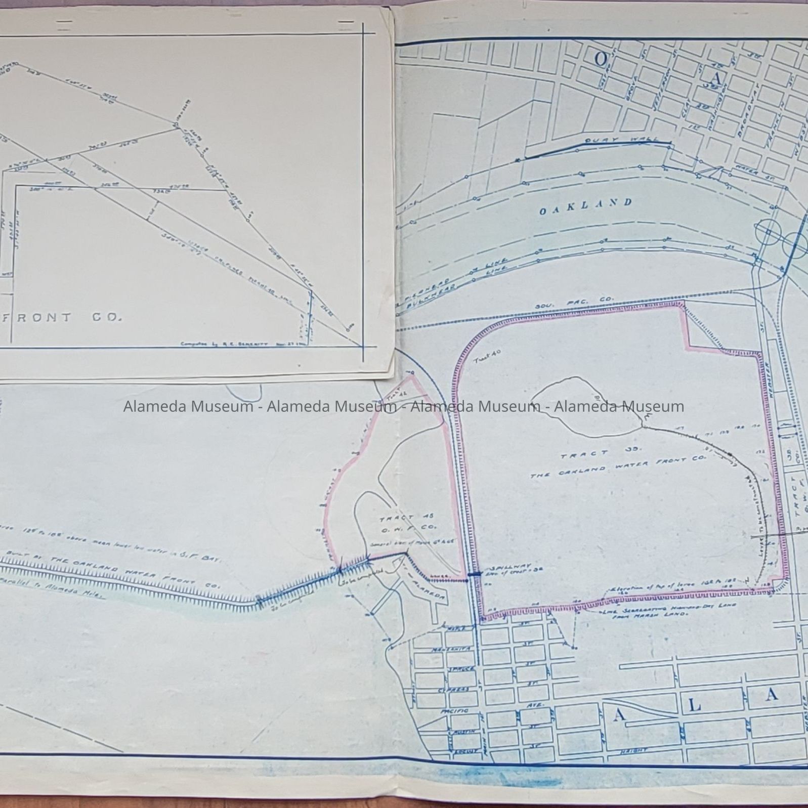
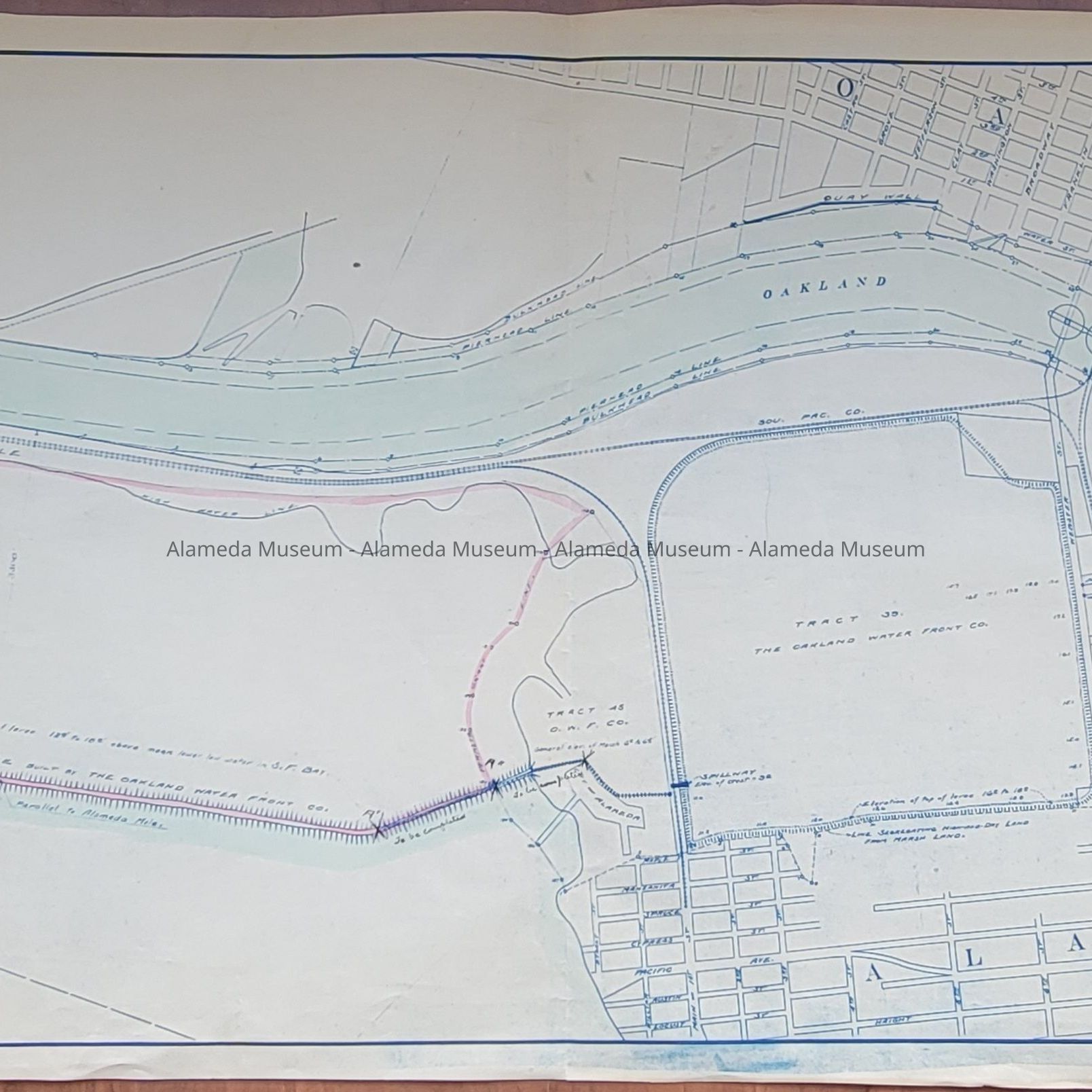
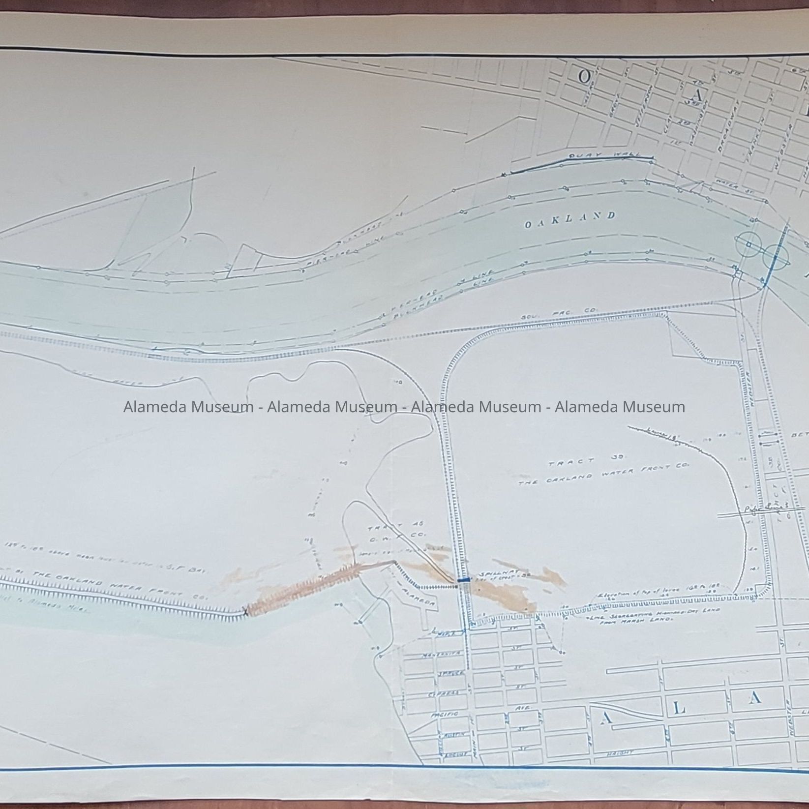
Name/Title
Maps of the West End prior to construction of the Posey Tube, 1918Entry/Object ID
2002.52.31Description
ACC. NO. 02.52.31 A, B, C
SUBJECT CATEGORY: CITY OF ALAMEDA
DATE OR PERIOD: 1918
OBJECTS: MAPS
DESCRIPTION:
PRINTED MAPS IN BLUE-COLORED TYPE ON WHITE-COLORED BACKGROUNDS, ACCENTUATED IN PINK- AND BLUE-COLORED WATERCOLORS.
SIZE: L 21" X W 50"
HISTORY OF OBJECTS:
MAPS SHOWING THE WEST END OF ALAMEDA PRIOR TO THE CONSTRUCTION OF THE POSEY TUBE. THESE MAPS SHOW AREAS TO BE DREDGED PER RESOLUTION #116, UNDER CONSIDERATION BY THE ALAMEDA CITY COUNCIL
DONOR: ALAMEDA CITY HALL
CATALOGED: MARCH 2, 2002