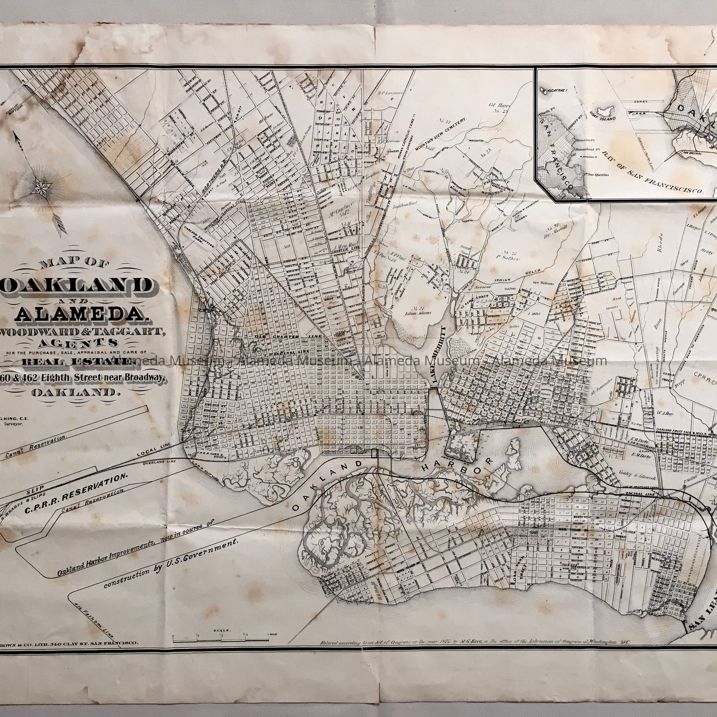
Name/Title
'Map of Oakland and Alameda', Woodward and Taggart, Real Estate, c. 1877Entry/Object ID
1999.3.4Description
Acc. No. 99.3.4
Subject Category: Maps
Date/Period: c. 1877
Object: Map
Description: Map with bold printed captions in black-colored type "Map of Oakland and Alameda."
Size: L 18-1/2 x W 24".
History of Object:
Early map of Oakland and Alameda issued by Woodward and Taggart, Real Estate Agents. The map was printed by G. T. Brown and Company, Lithographer, San Francisco. The map of Alameda was of an early period where several streets in the east end have been laid out, such as the 3200 block of Central, Garfield, Liberty, Sterling, and Johnson Avenues.
Acquired From:
Art Lewicki
Date: 1-2-99