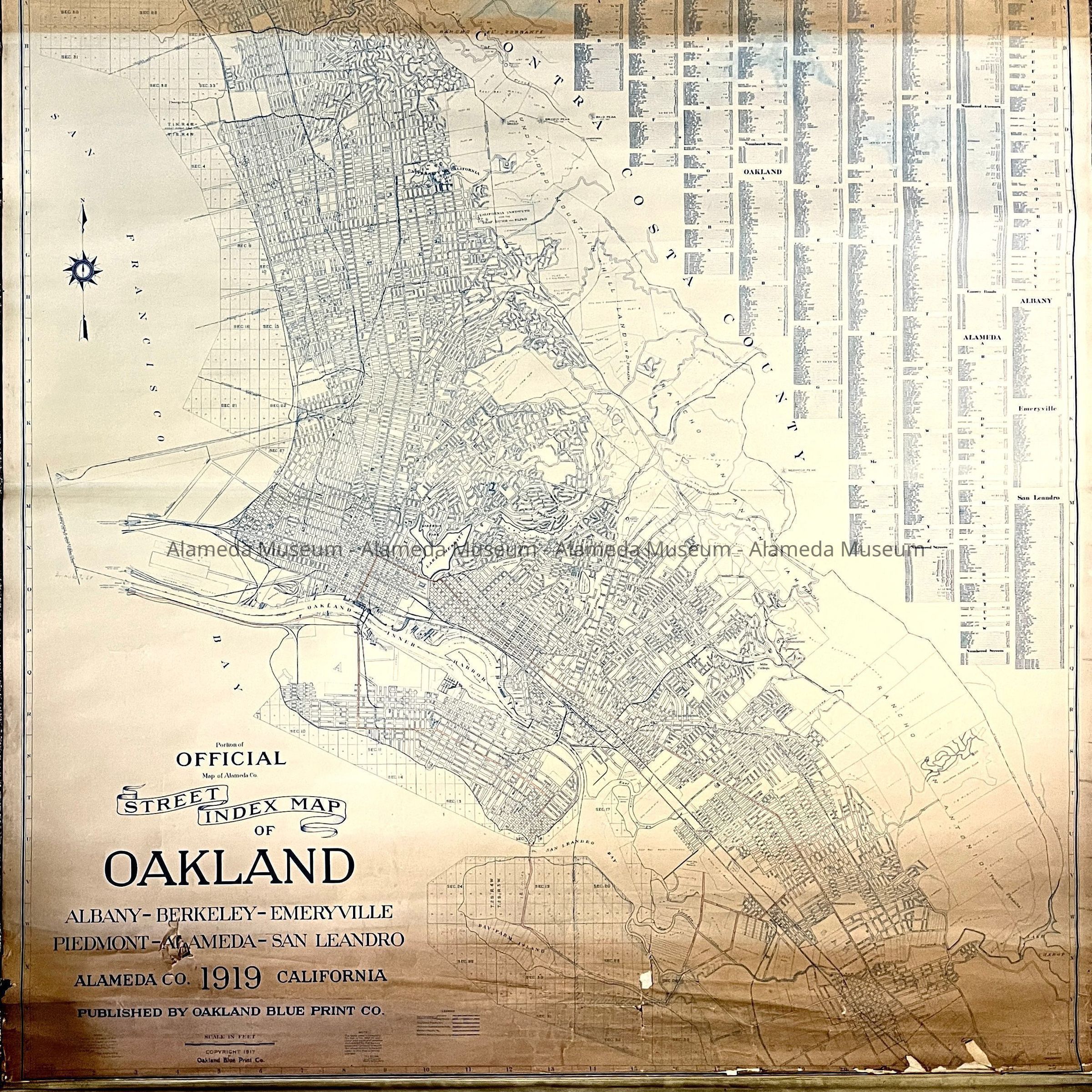
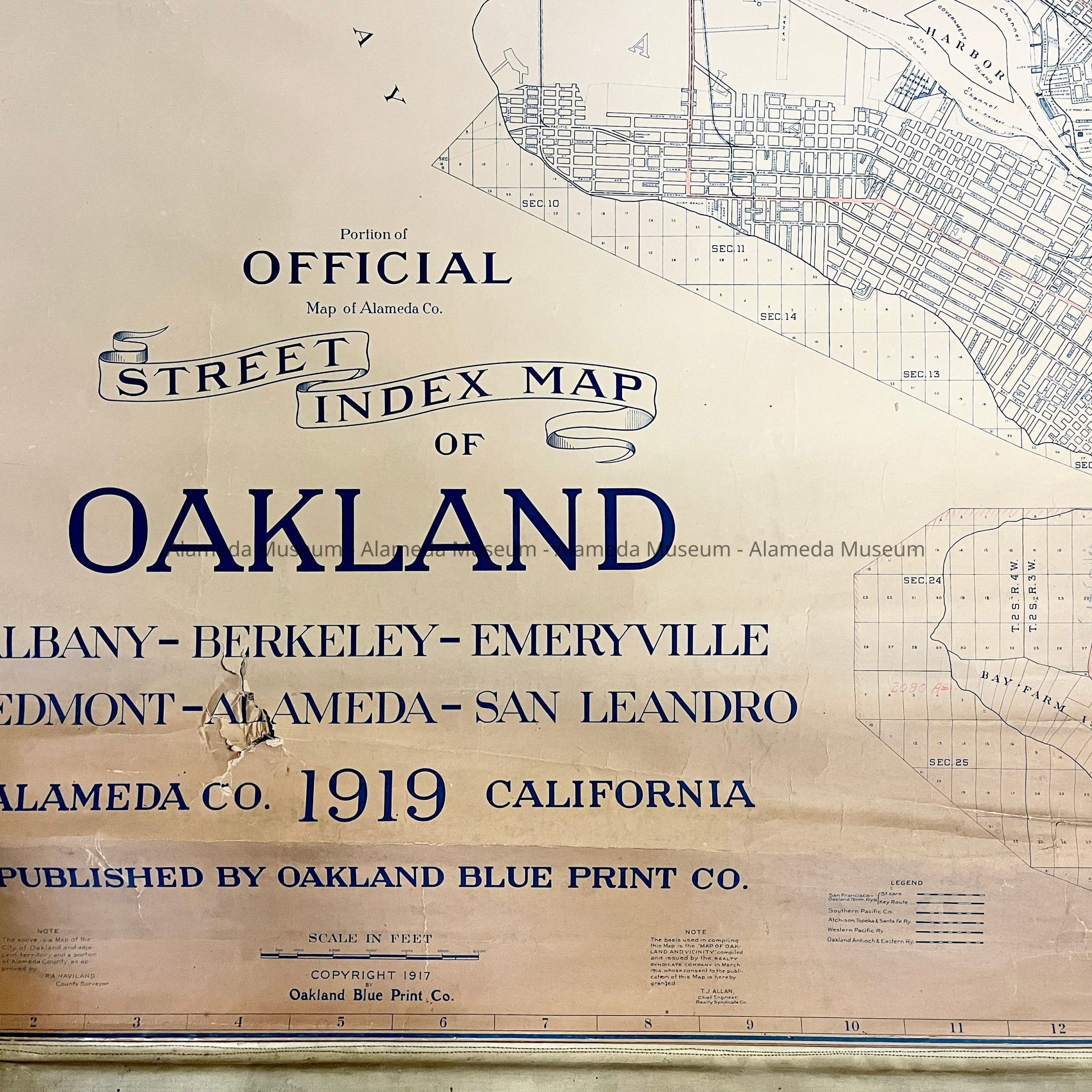
Name/Title
Whiteprint/Blueline Street Index Map of Oakland, Alameda, etc., 1919Entry/Object ID
2023.30.1Description
Acc. No. 23.30.1
Subject Category: Maps, Alameda
Date or Period: 1919
Object: Map
Description:
Whiteprint or Blueline style map showing blue lines and text on an off-white background, mounted on long metal-wrapped wooden roller, attached to a section of olive-green canvas. labeled ‘Official Street Index Map of Oakland Albany - Berkeley - Emeryville - Piedmont - Alameda - San Leandro, Alameda Co., 1919, California, published by Oakland Blueprint Company’. Drawn by F. H. Carter, approved by P.A. Haviland, county supervisor.
Size: (without canvas) L 74 inches (with green canvas 98 inches) x W 73 inches. Metal bar is another feet longer on each side.
History of Object: Map of Oakland, but including Alameda, showing streets, but also showing lots marked off in the marshland between Alameda's main island and Bay Farm Island. Based on Map of Oakland and Vicinity published by the Realty Syndicate Company in March 1914, with permission by T.J. Allen, Chief Engineer of that company.
Acquired from: unknown
Catalog Date: 11/2/2023