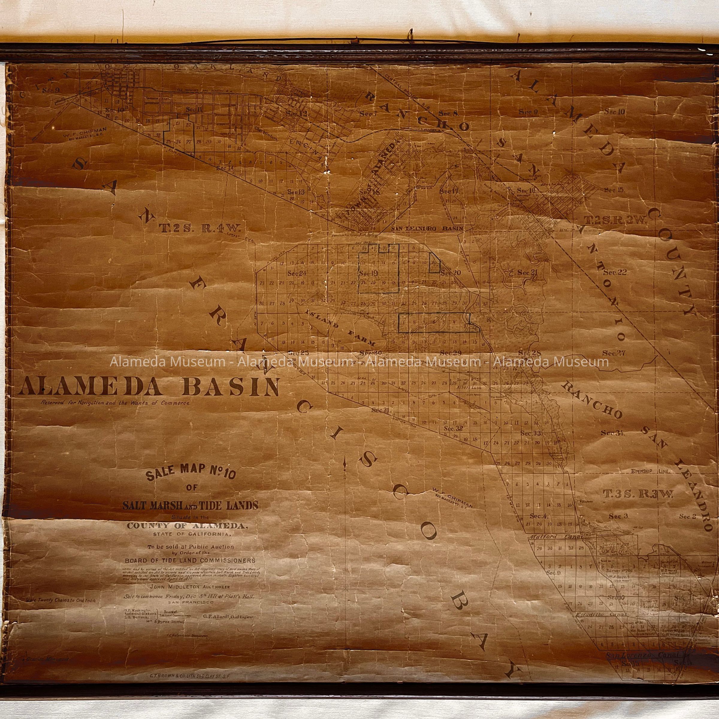
Name/Title
W.F. Chipman Salt Marsh and tidelands Map, printed by Brown & Co., 1871Entry/Object ID
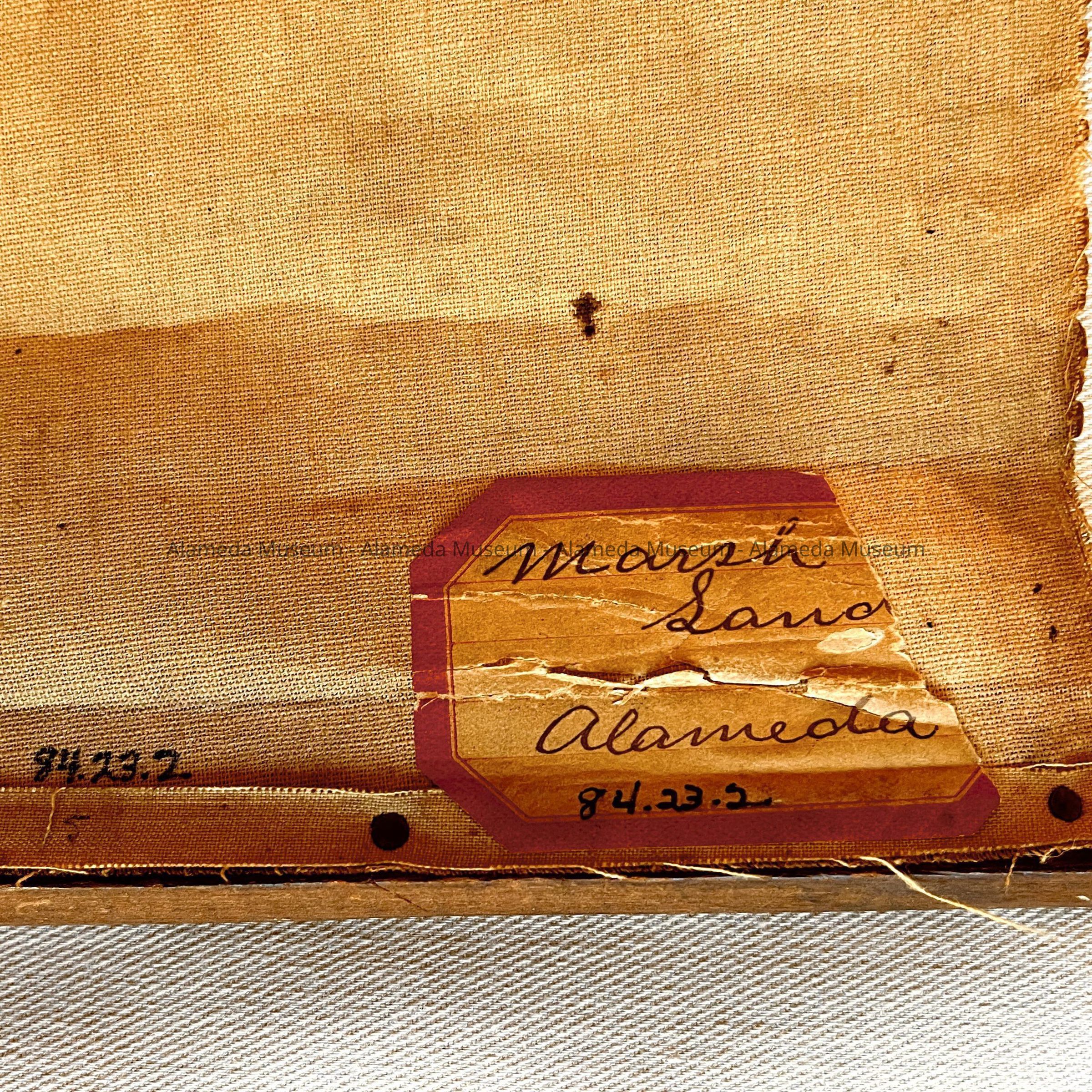
1984.23.2Description
ACC. NO. 84.23.2
SUBJECT CATEGORY: Map - Salt marsh and tidelands situated in the County of Alameda
DATE OR PERIOD: 1871
OBJECT: Map
DESCRIPTION OF OBJECT:
Printed map mounted on a linen backing and attached to wooden rods for hanging. Map was printed by G. T. Brown and Company, lithographers, 540 Clay Street, San Francisco. Map is No. 10 of Salt marsh and tidelands situated in the County of Alameda, State of California, and depicts tide and marshlands of Alameda Bay Farm Island. Map is rubber stamped stating "W. F. Chipman, 625 Market Street, San Francisco". W. F. Chipman was the son of W. W. Chipman, co-purchaser-co-founder of Alameda.
Size: 34" by 30 1/2".
HISTORY OF OBJECT:
See above.
ACQUIRED FROM: Chris K. Freeman,
Originally from the collection of Helen Freeman and donated by her son (Chris K. Freeman).
DATE: August 18, 1984