Name/Title
Aerial view planning commission plans Alameda South Shore, 1932-1935Entry/Object ID
1981.197.1Description
Acc. No. 81.197.1
Subject Category: Maps
Date or Period: 1932-1935
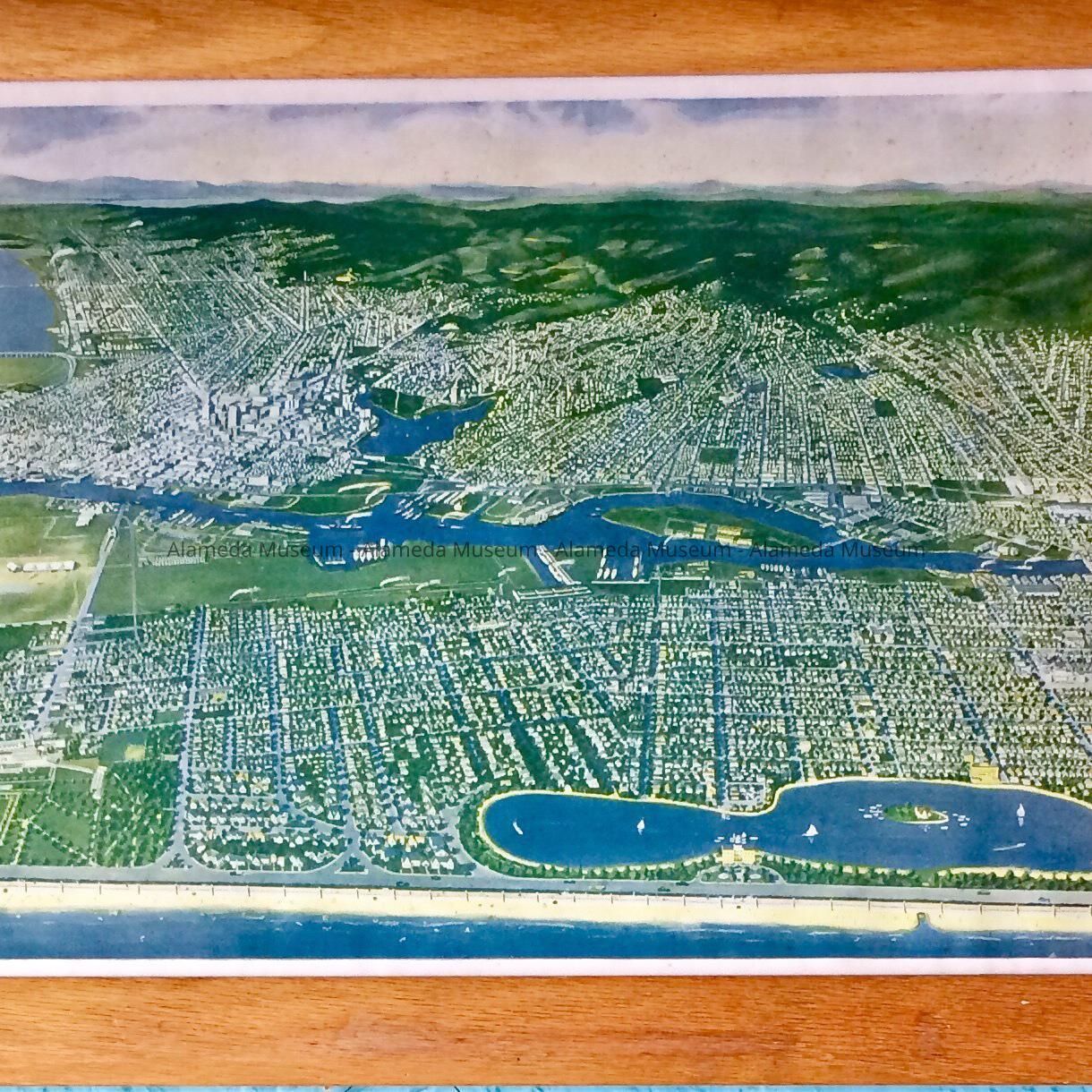
Object: Map
Description: Colored lithograph map. It is an aerial view. It is in an oblong dark frame.
Size: 39" by 15" by 4".
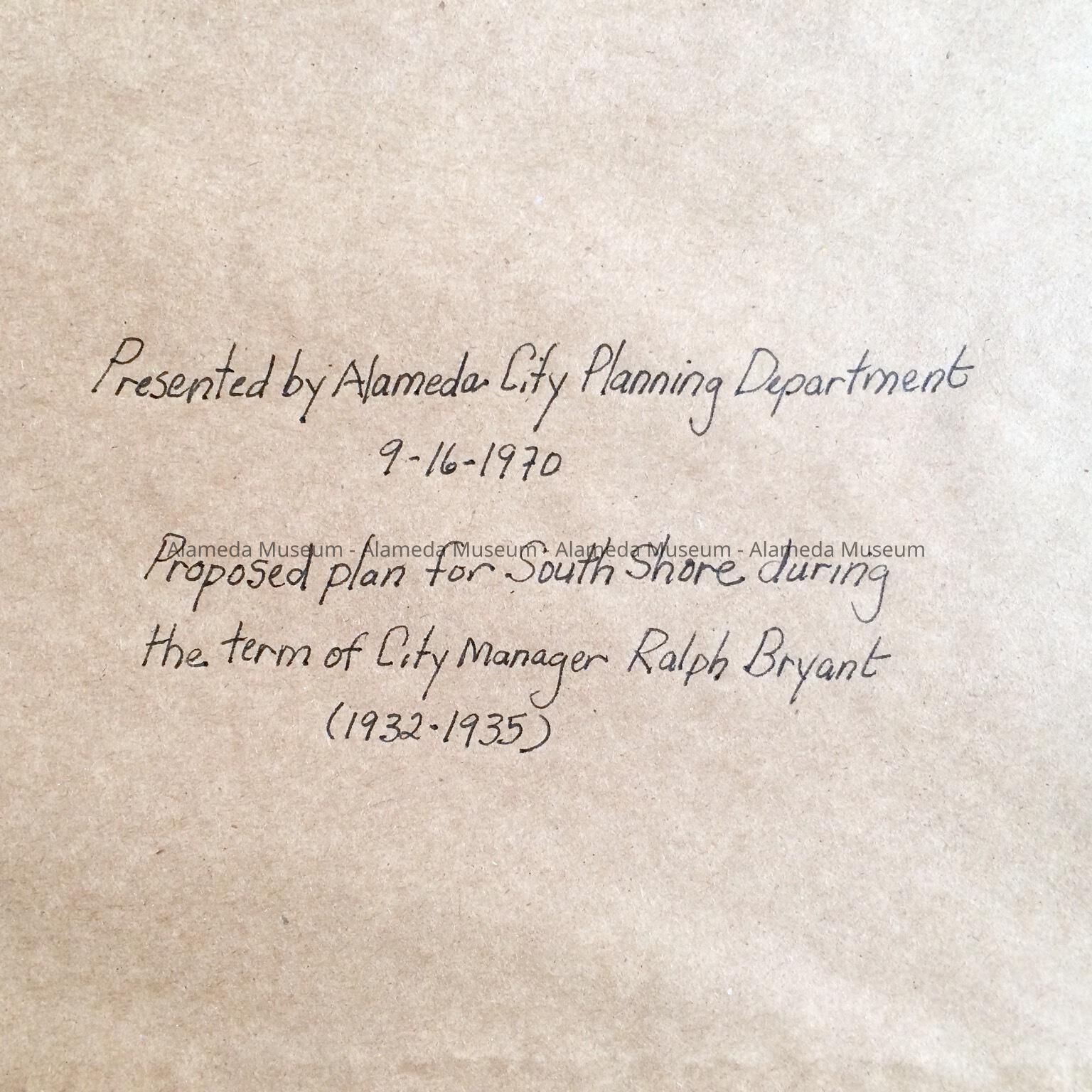
History of Object: Proposed planning commission plans for Alameda South Shore. City manager was Ralph Bryant.
Acquired from:
Date:Interpretative Labels
Label
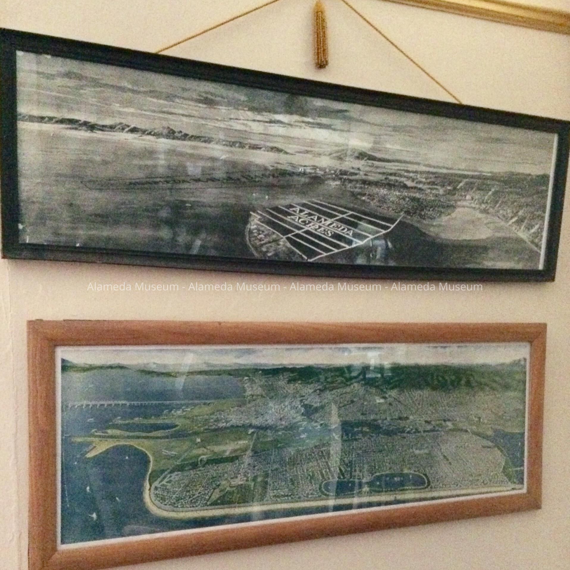
3/17/2020 MvL: current label:
"Premature" proposals
for Alameda development
that were largely realized
many years later.
[An aerial view of Alameda
that shows a proposed site
for a Naval Air Base in the
West End and a proposed
enlargement of Bay Farm
Island. Dated March, 1921.]
Plans for a proposed South
Shore development made
during the term of the City
Manager, Ralph Bryant, who
served from 1932 to 1935.