Name/Title
Report and maps for a Yacht Harbor area at South Shore, 1962Entry/Object ID
2024.80.6Description
Acc. No. 24.80.6 A, B, C
Subject Category: City of Alameda, Planning, South Shore; Ballena Bay Island
Date or Period: 1962
Object: report
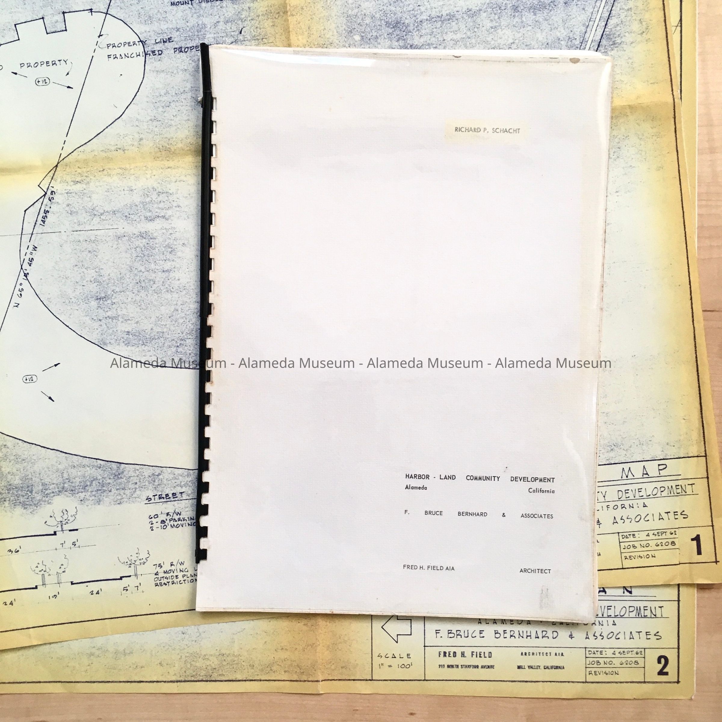
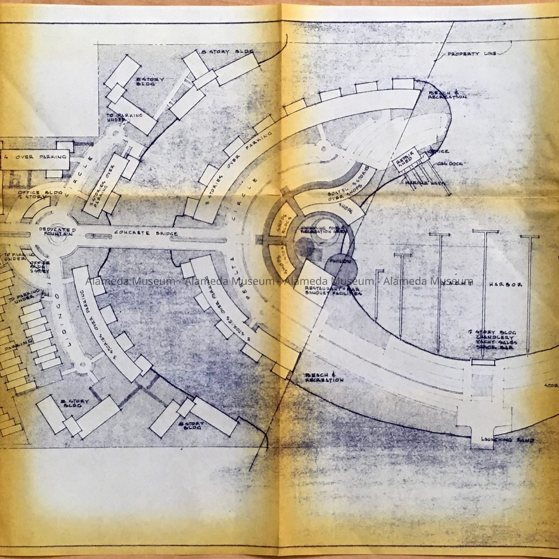
Description: A: a report with black plastic snap spine, titled 'Harbor - Land Community Development', by F. Bruce Bernhard & Associates, Fred H. Field AIA Architect. At top right a transparent name sticker has been added stating Richard P. Schacht. Dated on first page; September 4, 1962.
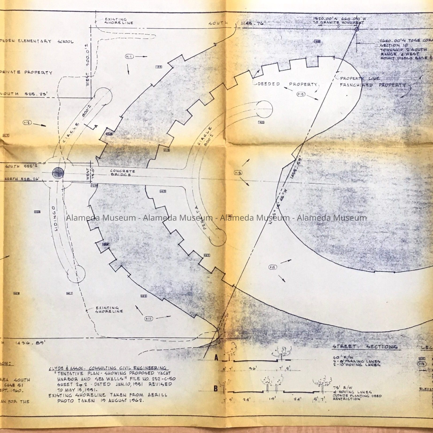
B: Map 1: Topographic Map, 4 Sept 62
C: Map 2: Site Plan
Size: A: L 14 by 10 inches;
B & C (each): L 38 by 18 inches.
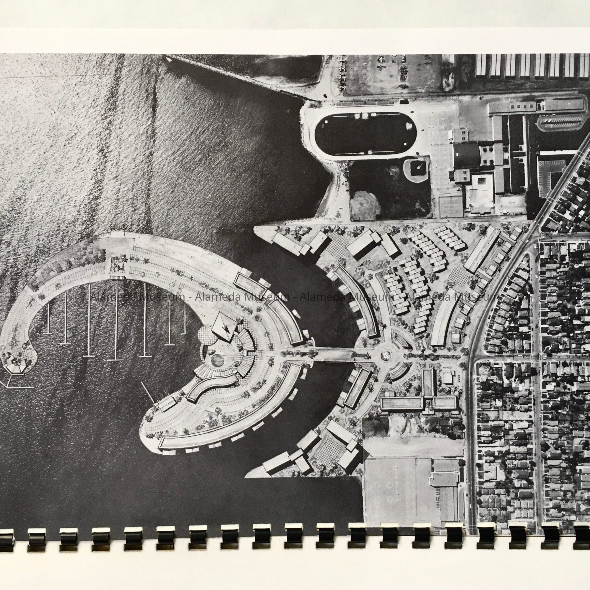
History of Object: Proposed development of housing, shops, restaurants, a yacht club and a beach around a Yacht Harbor. This area is today known as Ballena Bay Isle. This development with higher density was made possible by zoning changes voted on by the City Council in June, 1962.
Schacht was on the City Council from 1957 to 1963.
Acquired from: Susan Espinoza
Donation Date: 10/12/2024
Catalog Date: 10/28/2024