Name/Title
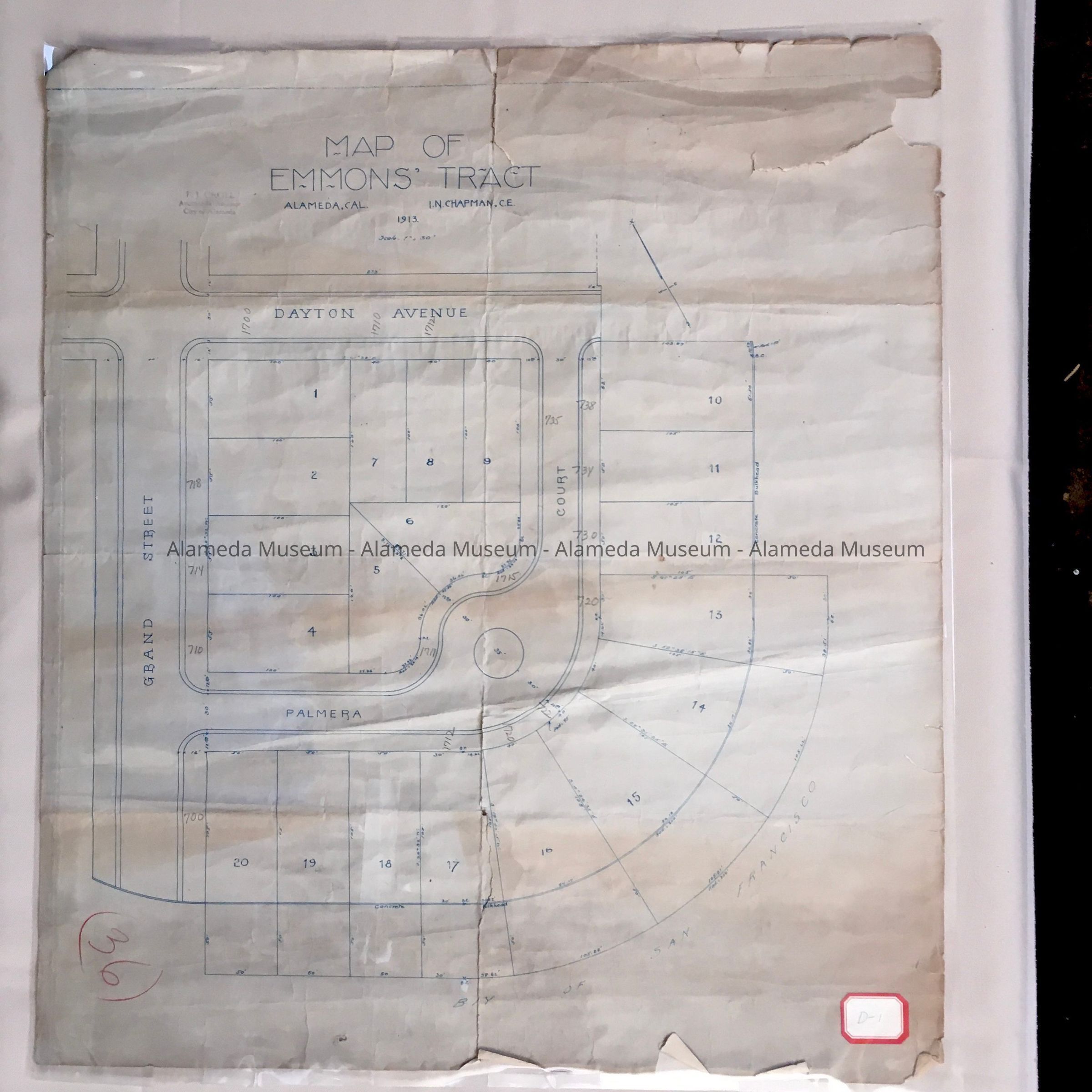
Map of Emmons Tract, c. 1913Entry/Object ID
1987.80.2Description
Acc. No. 87.80.2
Subject Category: Maps
Date or Period: C. 1913
Object: Map
Description: Printed map (blue colored type) with bold caption "Map of Emmons Tract."
Size: L-23 1/2 x W-20 1/2 inches.
History of Object: Map of the Emmons Tract, Alameda, dated 1913.
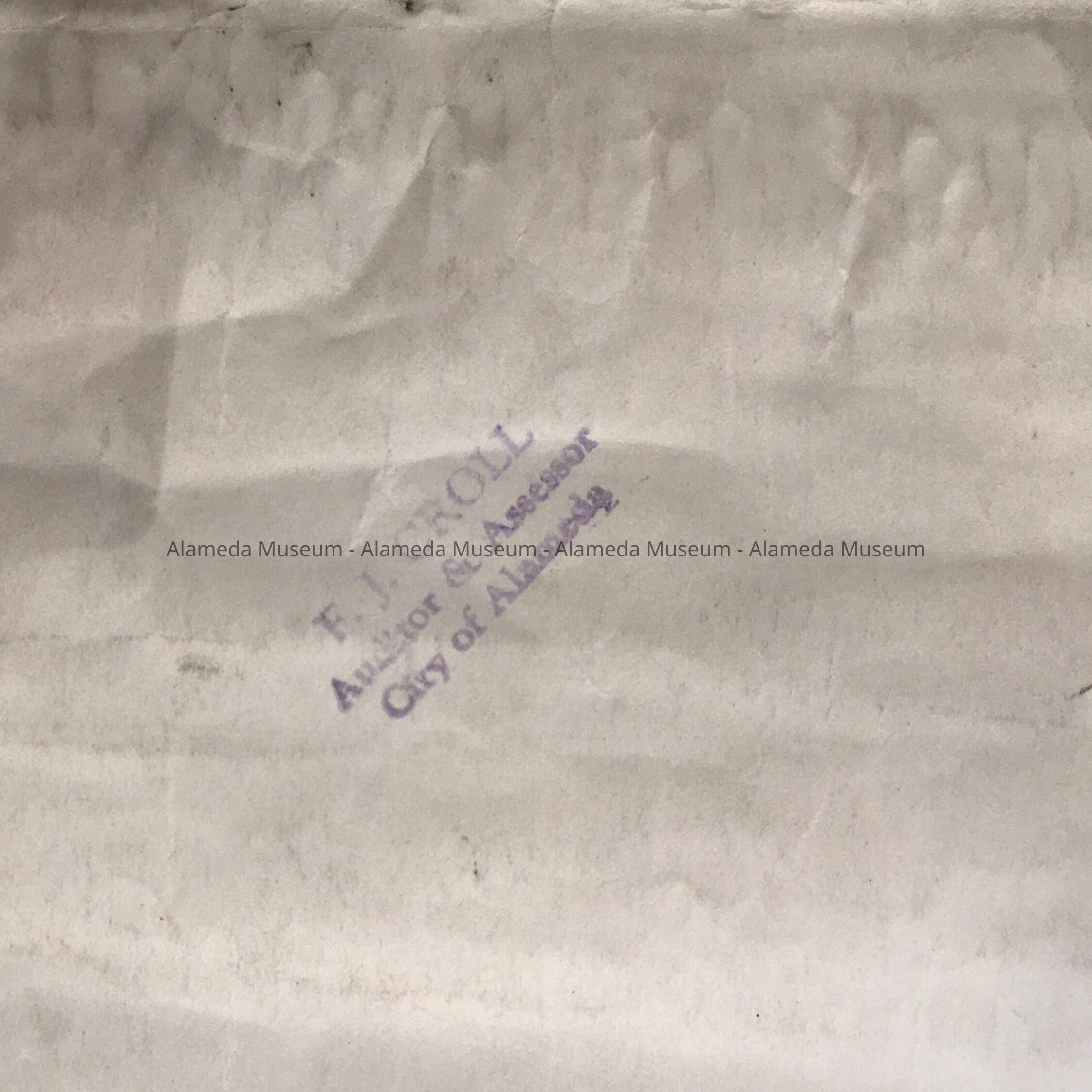
Land bounded by Grand Street, Dayton Avenue, and Palmera Court. This particular map belonged to Fred J. Croll, Auditor & Assessor, City of Alameda.
Note: Map found in the Alameda City Hall.
Acquired from:
City of Alameda
City Hall
Santa Clara Ave. & Oak Street
Date: 10-22-1987