Name/Title
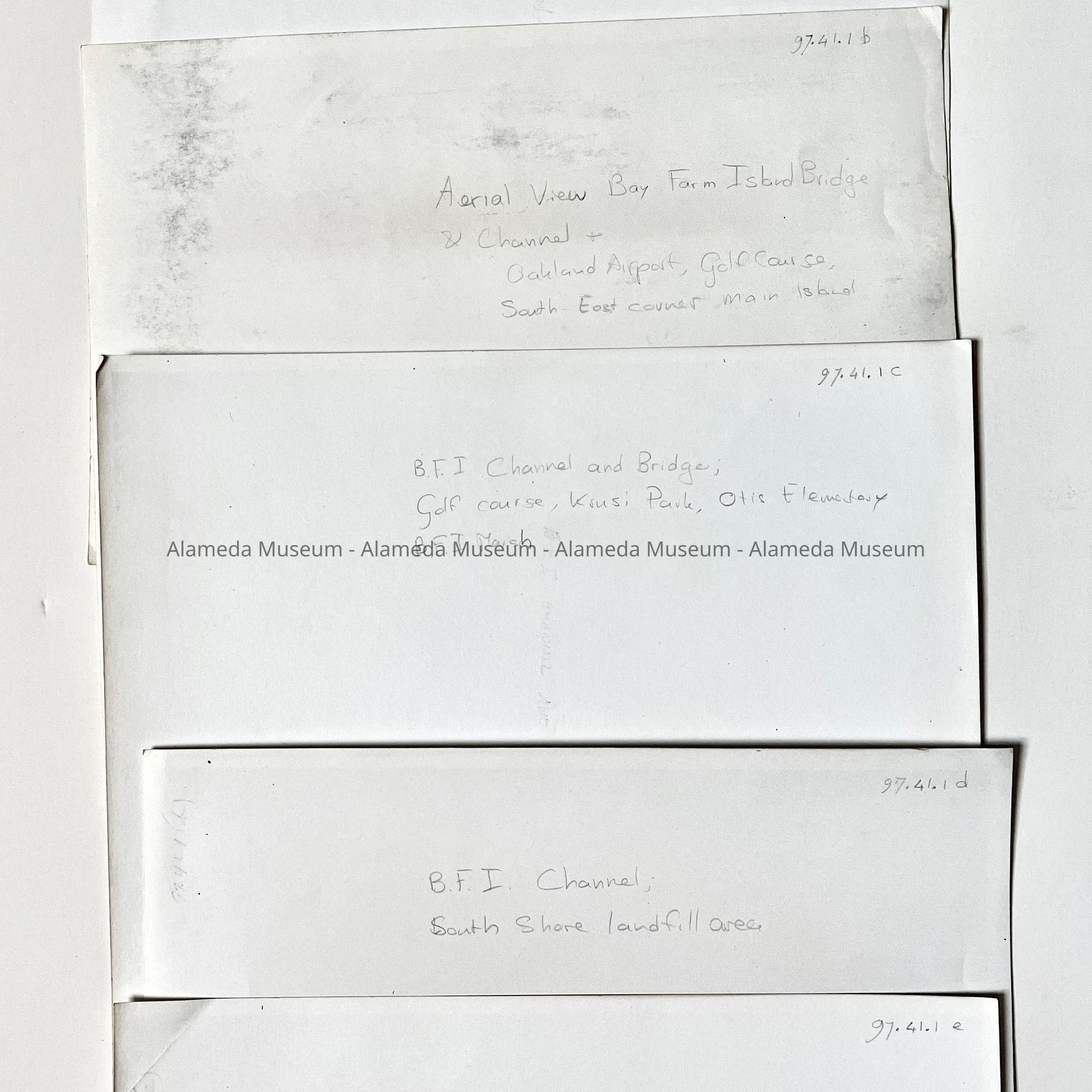
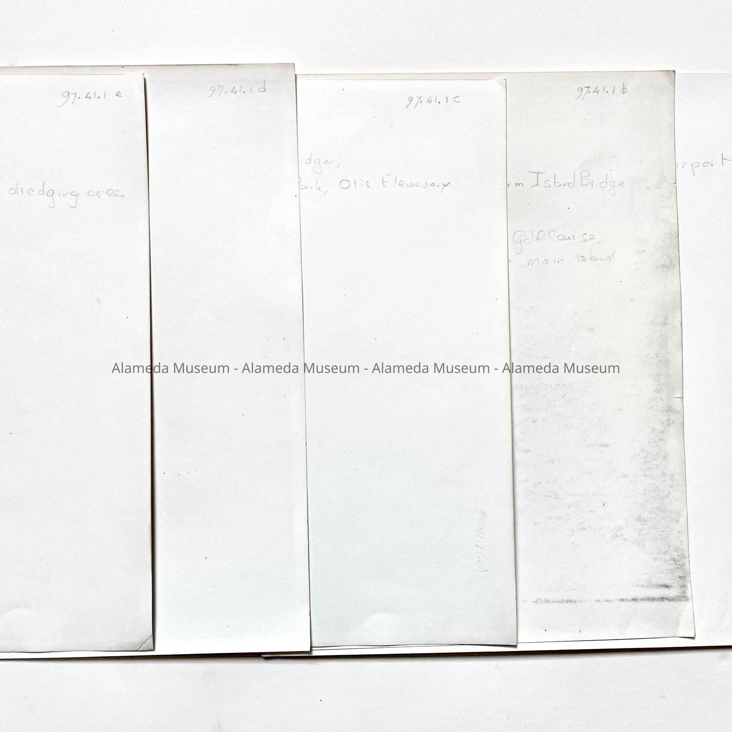
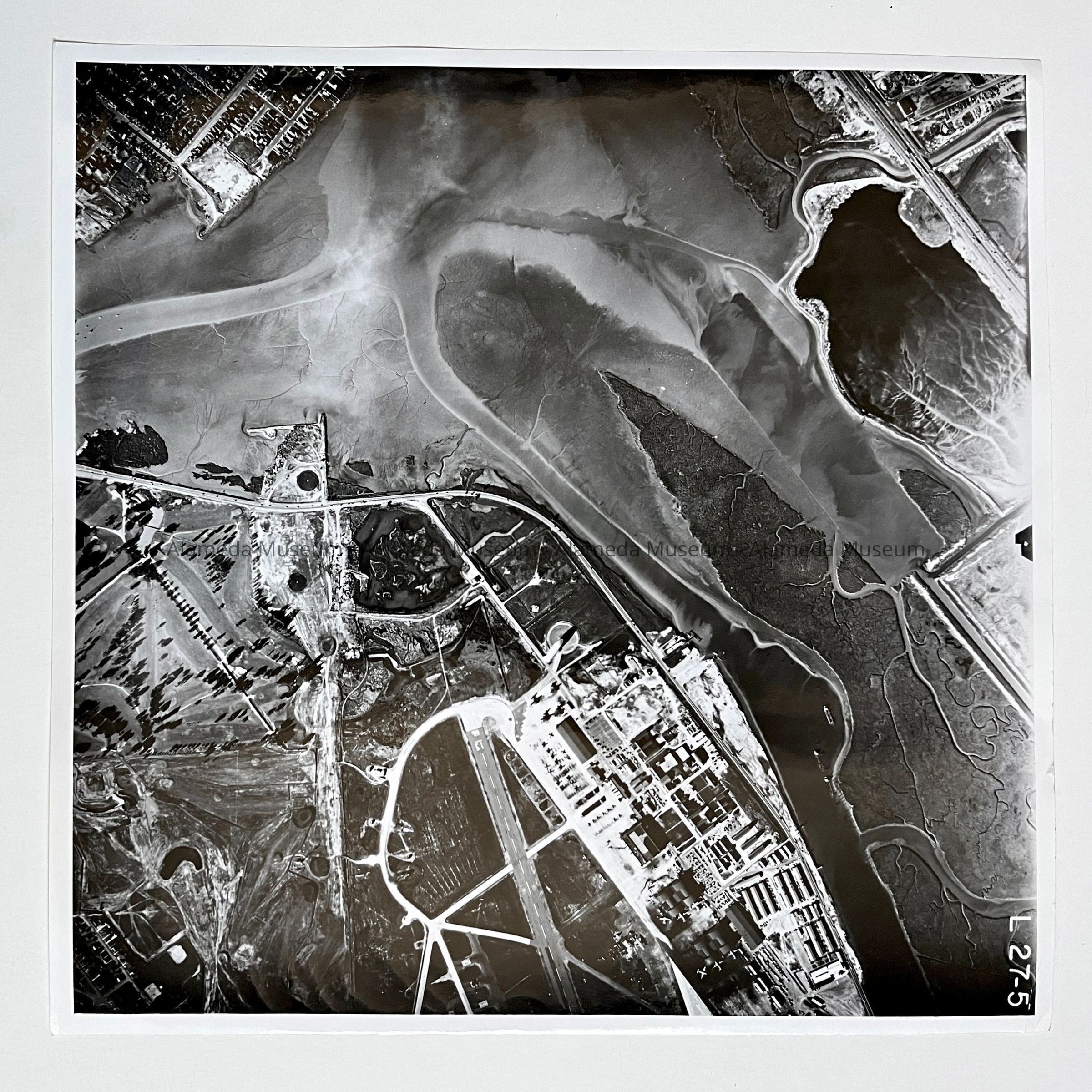
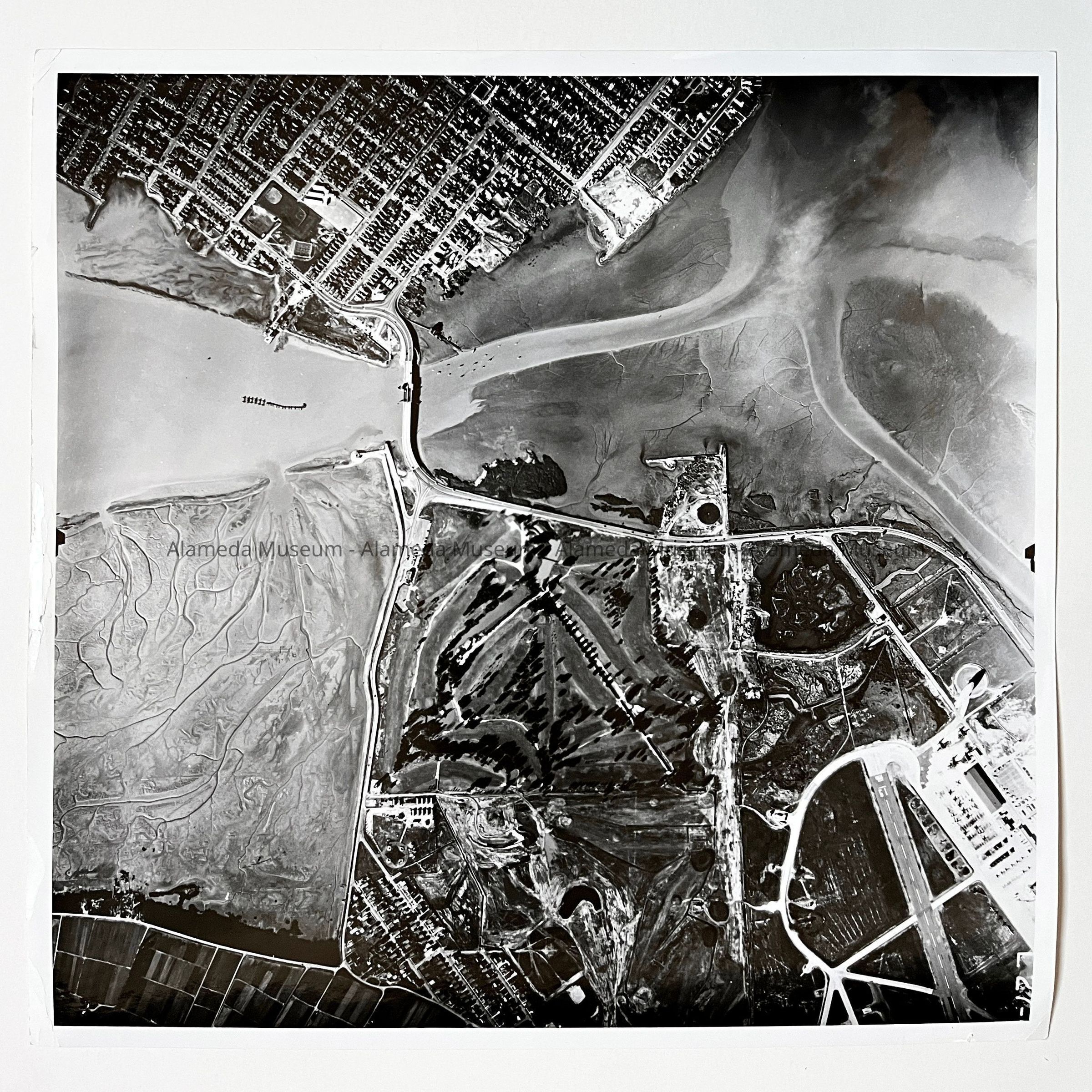
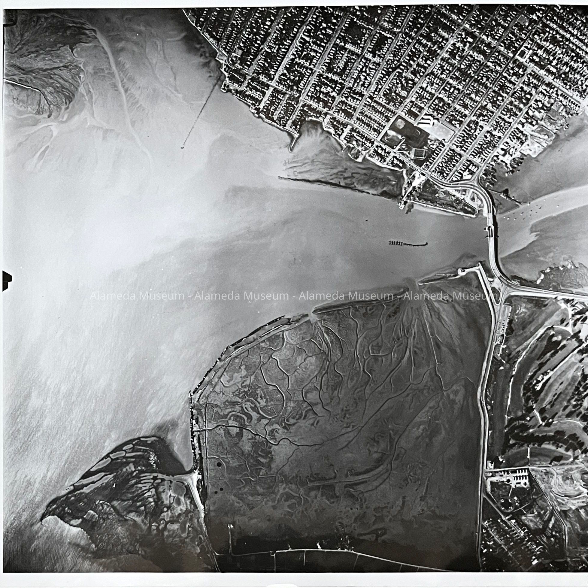
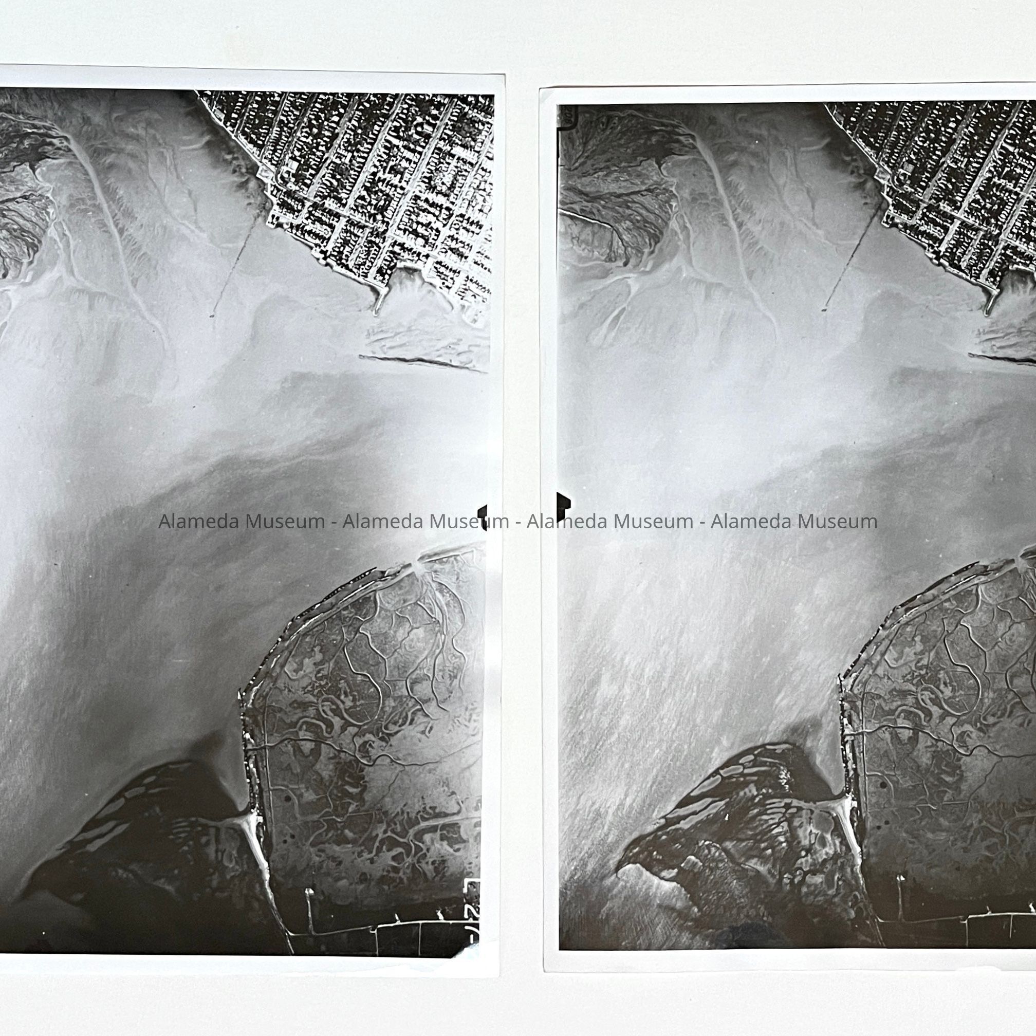
Photos of aerial views of start of South Shore Fill, c. 1959Entry/Object ID
1997.41.1Description
Acc. No. 97.41.1 (a-e)
Subject Category: Bay Farm Island
Date or Period: Ca. 1959
Object: Photographs
Description: Glossy black/white photos, unmounted. Photographer unknown. Photos are numbered and dated in their negatives.
Approx. size: 9 1/2 x 9 1/2 in.
History of Object: Series of aerial views going east to west over the Bay Farm Island Bridge, showing the start of the South Shore Fill: a) Marsh area to east of Doolittle Drive, showing Oakland Airport (now North Field) with runway 15, and the site of the Alameda Dump, and Golf course to the left, and the South-East corner of Alameda to the east of the BFI Bridge at the top left corner. b) San Leandro Channel and Bay Farm Island Bridge, with Otis Elementary and Krusi Park on the main island, and an area of fill to the west, and the marsh area to the east of what is now Island Drive; c) as b, but more east, showing more of the marsh area, main island up to a pier at the foot of Park Street, and the beginning of the landfill area in the top left; d) the landfill area at the top left with BFI at the bottom right and Alameda main island at the top right; e): the dredger showing the source of the sand for the south shore fill, a line which appears to be a pipeline on trestle going to the fill area.
Acquired from: Unknown
Date: 1/11/97
Pre-1971 donation, uncataloged