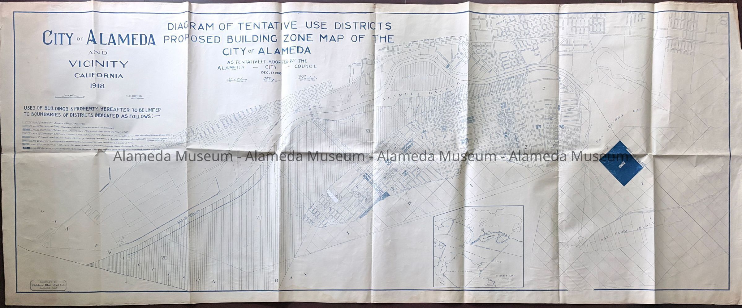
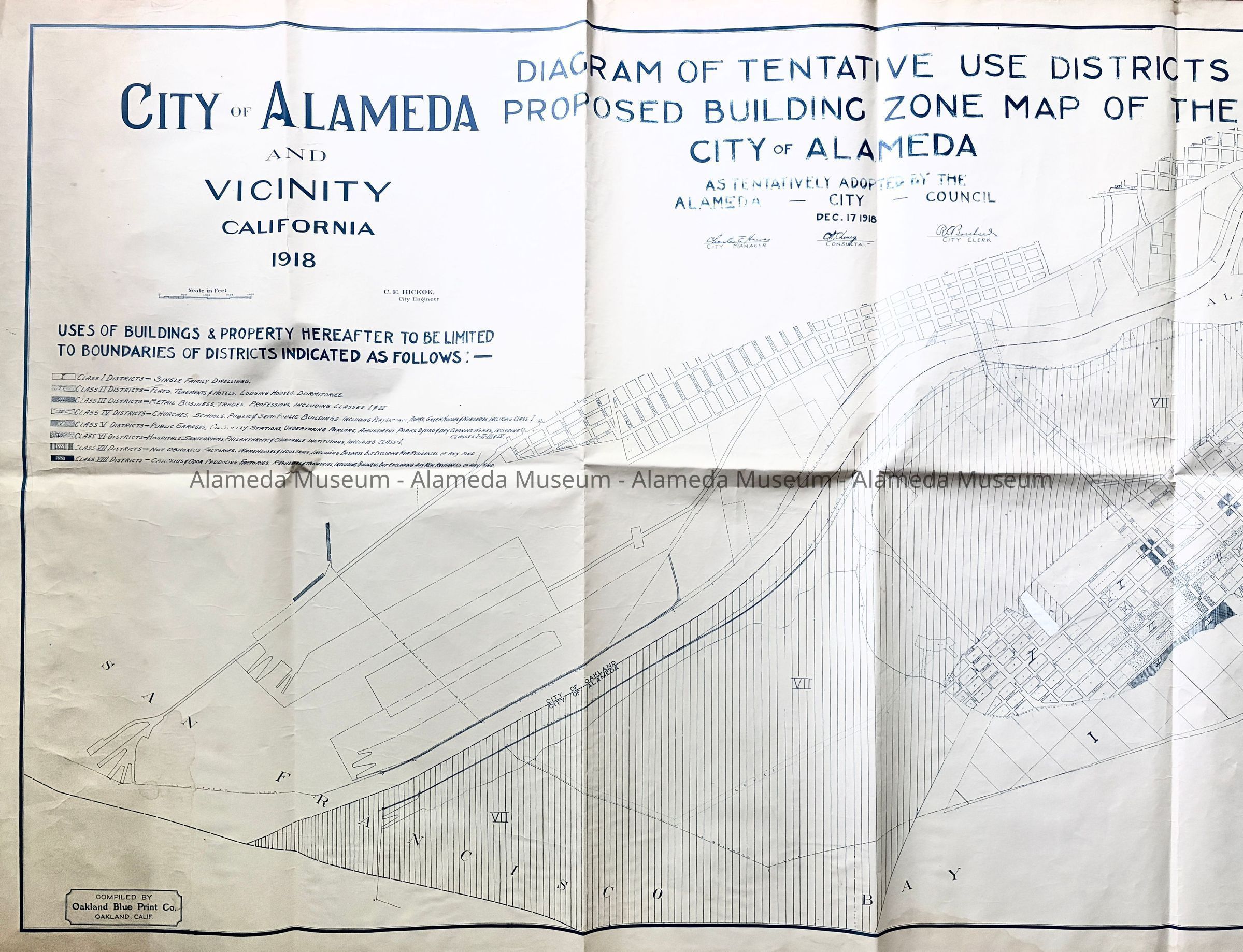
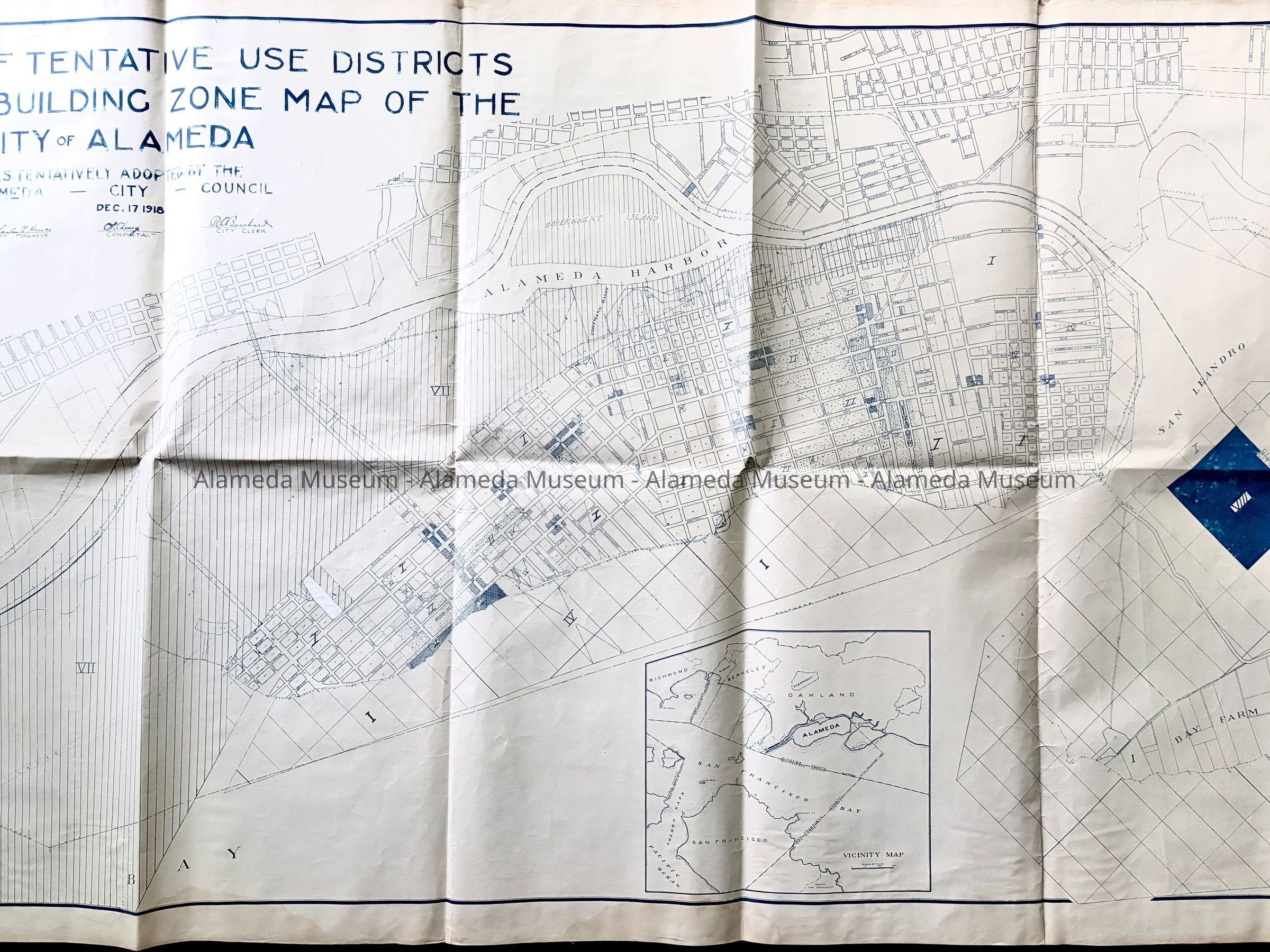
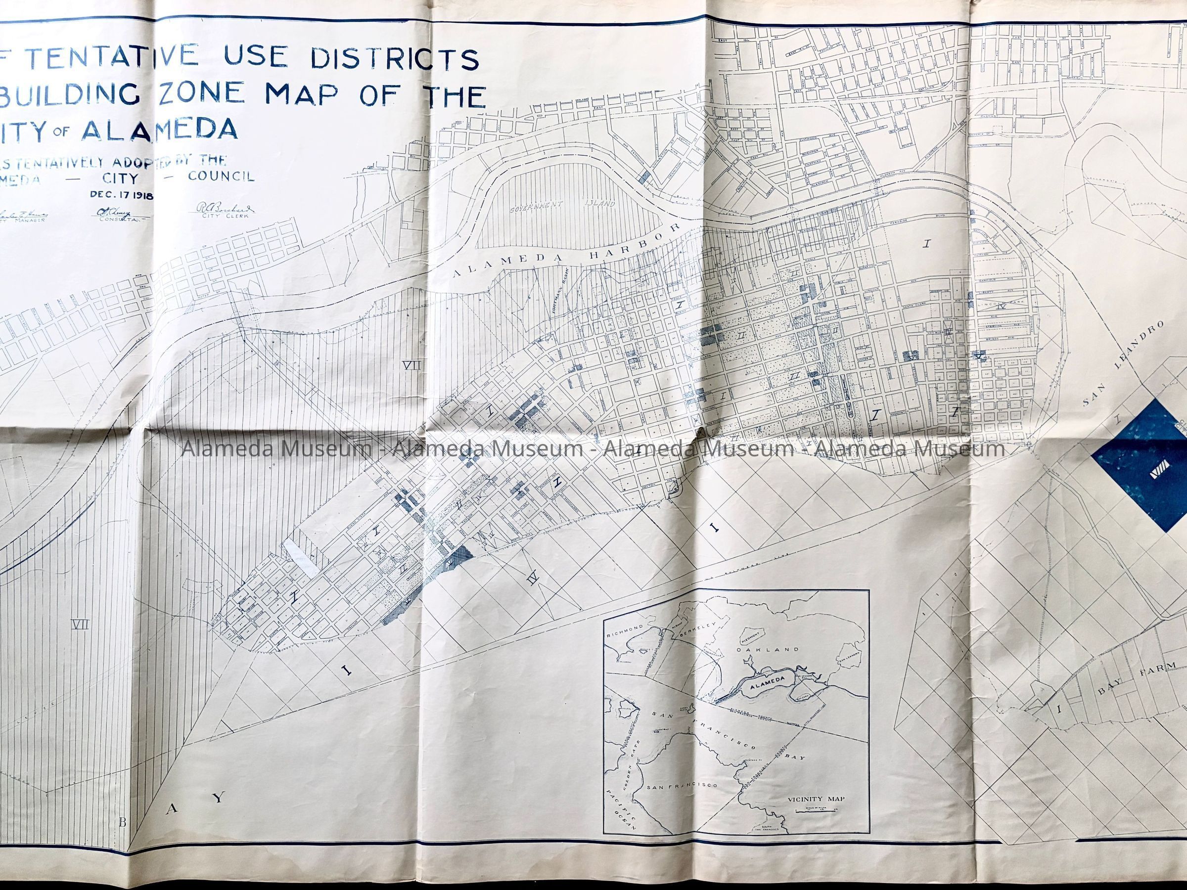
Zoning 'Diagram of Tentative Use District Proposed Building Map', 1918
Entry/Object ID
2000.100.15
Description
Acc. No. 00.100.15
Subject: City of Alameda
Map, Zoning Date: 1918
Object: Map
Description: Map printed in blue colored ink on heavy stock paper.
Size: L 41 x W 100 inches
History: Map of Alameda with caption Diagram of Tentative Use District Proposed Building Map City of Alameda as Tentatively Adopted by City Council December 17, 1918. Map also includes graph which designates areas such as businesses, residences, etc.
Donor: City of Alameda
Date: April 29, 2000