Name/Title
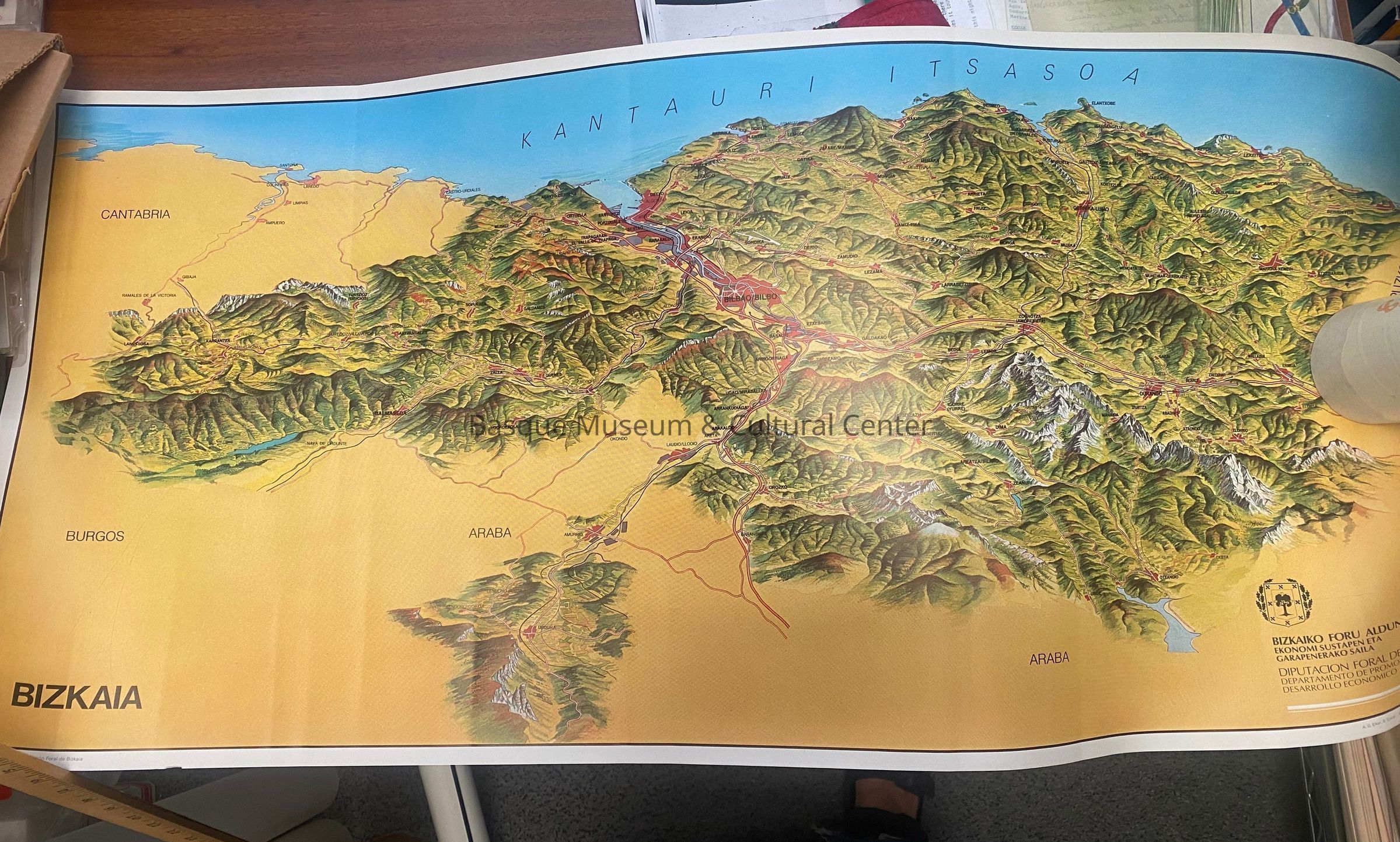
Relief Map of the Basque CountryEntry/Object ID
1990.009.001Scope and Content
Color illustrated relief map depicting the three historical territories of the Basque Autonomous Community: Bizkaia, Gipuzkoa and Araba (Álava). Published by the Bizkaiko Foru Aldundia (Provincial Council of Biscay), the map illustrates mountains, valleys, rivers, municipalities, transportation networks and the Bay of Biscay (Cantabrian Sea). It was produced for educational, informational or promotional purposes.