Origsize: 8.5" x 11"; Origformat: Artifact; Resolution: 600 DPI
Name/Title
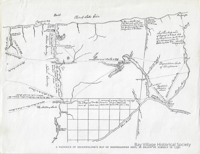
1796 Map of Northeast Ohio (reproduction)
Entry/Object ID
2023.06.11.05
Scope and Content
2023.06.11.05 - Facsimile of 1796 map drawn by Heckewelder's map of Northeastern Ohio. Shows "Indian Path" or trail along Lake Erie. It includes the Cuyahoga River in to the left center and the Huron River to the far left.
"A facsimile of Heckewelder's Map of Northeastern Ohio, As Drawn by Himself in 1796"