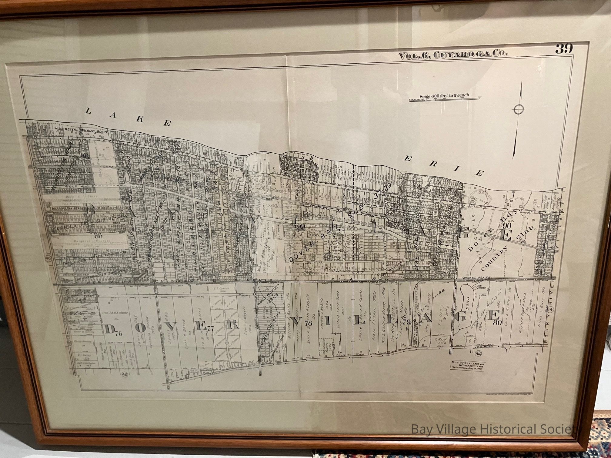
1927 Plat Map of Dover Village in frame

1927 Plot map of Dover Village: Origsize: 8.5"x11"; Origformat: Print-Photographic; Resolution: 600 DPI
1927 Plot map of Dover Village

Origsize: 8.5"x11"; Origformat: Print-Photographic; Resolution: 600 DPI

Name/Title

1927 Plat Map of Dover Village in frame

Entry/Object ID

2023.M.25

Scope and Content

Framed 40.5" x 30.75" plat map of Dover Village Copyrighted 1927 (Volume 6, page 39) Plat map showing lots on streets from Dover Center to the west to Rocky River Village on the east. Lake Erie to the north and Detroit Road to the the south. Houses are marked with location on the lot and house numbers.