Name/Title
City of Bay Village Plat Maps post 1928Entry/Object ID
2018.FIC.0115Description
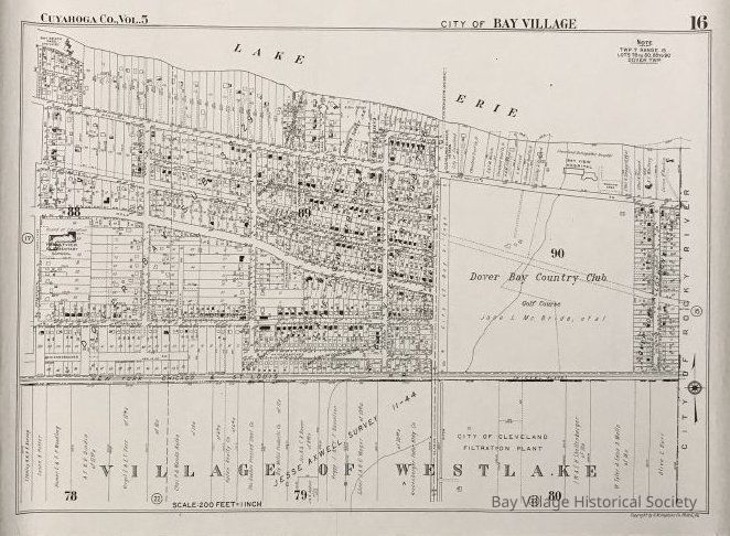
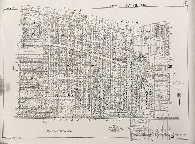
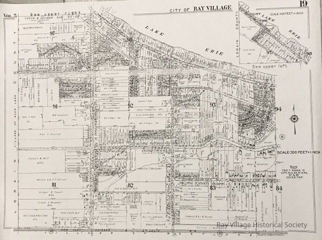
The group of 4 pages showing the City of Bay Village and northern section of the Village of Westlake identifying subdivisions, streets, creeks, houses with lot numbers, schools, railroad, parks, etc.
2018.FIC.0115 A Page 16: Forestview Road to the Rocky River border. Lots 88-90 which includes the Dover-Bay Country Club and Golf Course. Lots 78-80 Village of Westlake.
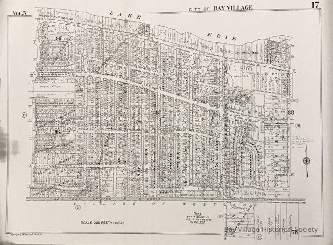
2018.FIC.0115 B Page 17: Douglas Road to Forestview Roads. Bay Village Lots 86-88 and 96 Westlake Lot 78.
2018.FIC.0115 C Page 18: Huntington Park to Douglas Drive. Bay Village Lots 84-86 and 94-96.
2018.FIC.0115 D Page 19: Lorain County Line to Huntington Park.
There are five complete copies of white plat maps plus one yellowed blueprint. All are stored together due to size.Collection
City of Bay Village MapsDimensions
Dimension Notes
26.5" x 36"Relationships
Related Entries
Notes
2018.FIC.0111, 2018.FIC.0112, 2018.FIC.0113, 2018.FIC.0114