Name/Title
Framed Dover 1892 Map, Town 7, Range 15Entry/Object ID
E.2023.028Scope and Content
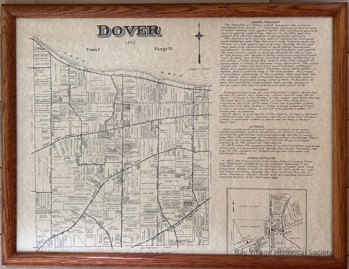
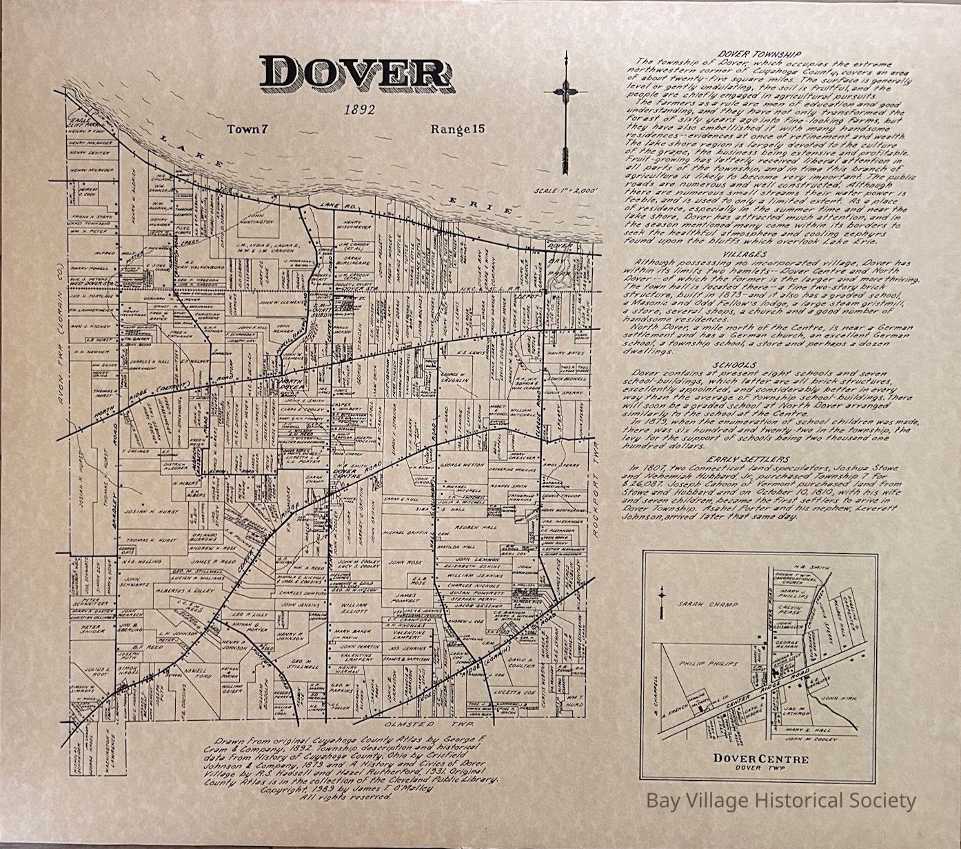
Framed reproduction of an 1892 map of Dover Township from the Avon Twp. border to the River Township. All writing is handwritten, not typed. Land owners are shown with the location of the house on the lot as a square. Lake Erie, roads and the railroad are identified.
Right hand side has the history of Dover Township, Villages, Schools and Early Settlers
Similar map for Rockport [E.2022.05]
Frame is light/medium stained oak. Rounded top edge. Plain.
Insets: Dover Centre / Dover T'w'pCollection
Dover Township MapsRelationships
Related Places
Place
Location
Dover Township, Ohio