Name/Title
Map of Cleveland and Cuyahoga CountyEntry/Object ID
2018.FIC.0073Scope and Content
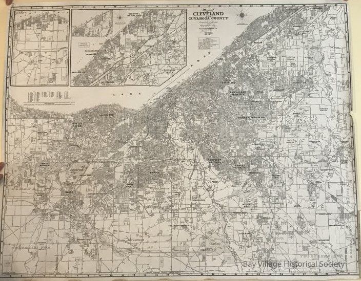
Map of Cleveland and Cuyahoga County
The map includes Lake Erie south to the county border, Bay Village on the west to Waite Hill on the east. Streets are included and corner house numbers at the ends of streets. Cities, Villages and Townships are indexed.
The Legend includes:
Cleveland Boundary
Cuyahoga County Boundary
Other Municipal Boundaries
Railroad Lines
Rapid Transit Lines
House Numbers
Parks, Playgrounds, Golf Courses, Cemeteries, Institutions, etc.
Interstate Freeways,
U.S. and State Highways
Compiled, Published and Copyrighted by Commercial Survey Co.
Insets: Avon, Avon Lake
Northeast ContinuationRelationships
Related Places
Place
Location
Cleveland and Cuyahoga County