Origsize: 11" x 15"; Origformat: Artifact; Resolution: 600 DPI
Name/Title
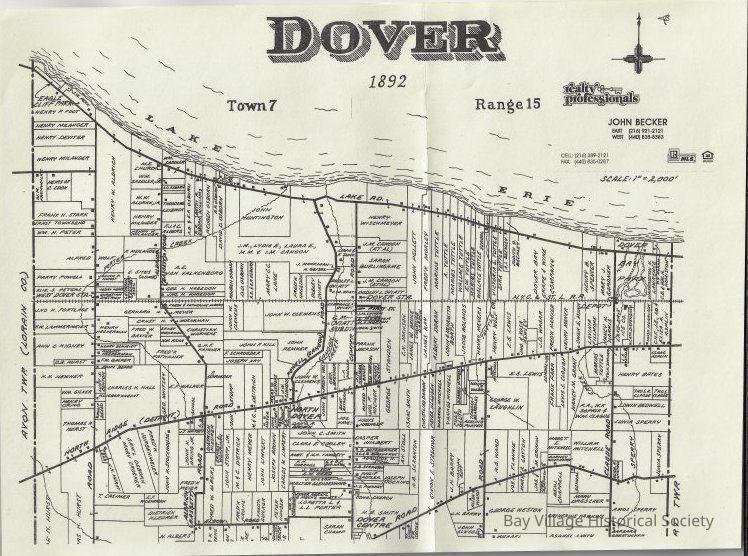
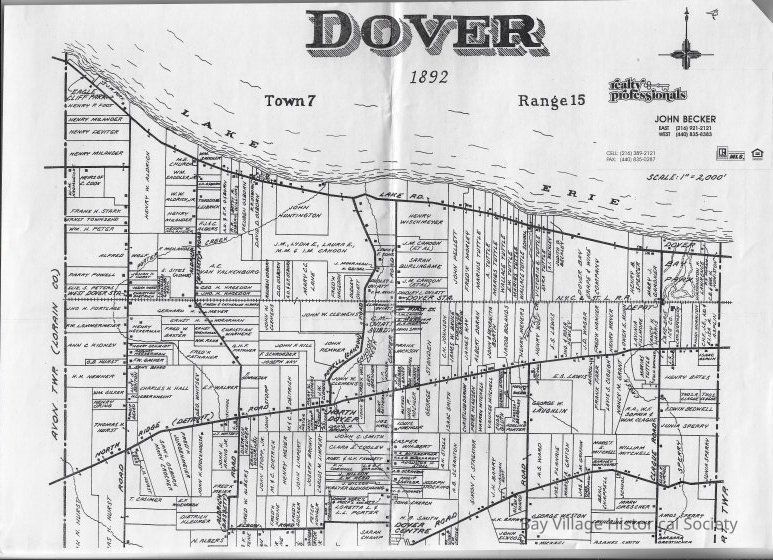
Map of Dover 1892, Town 7, Range 15
Entry/Object ID
E.2019.01
Scope and Content
Reproduction of an 1892 map of Dover Township from the Avon Twp. border to the River Township. Land owners are shown with the location of the house on the lot as a square. Lake Erie, roads and the railroad are identified.
Two copies:
E.2019.01A cream cardstock L 11" x W 15"
E.2019.01B white paper L 11" x W 15.5"