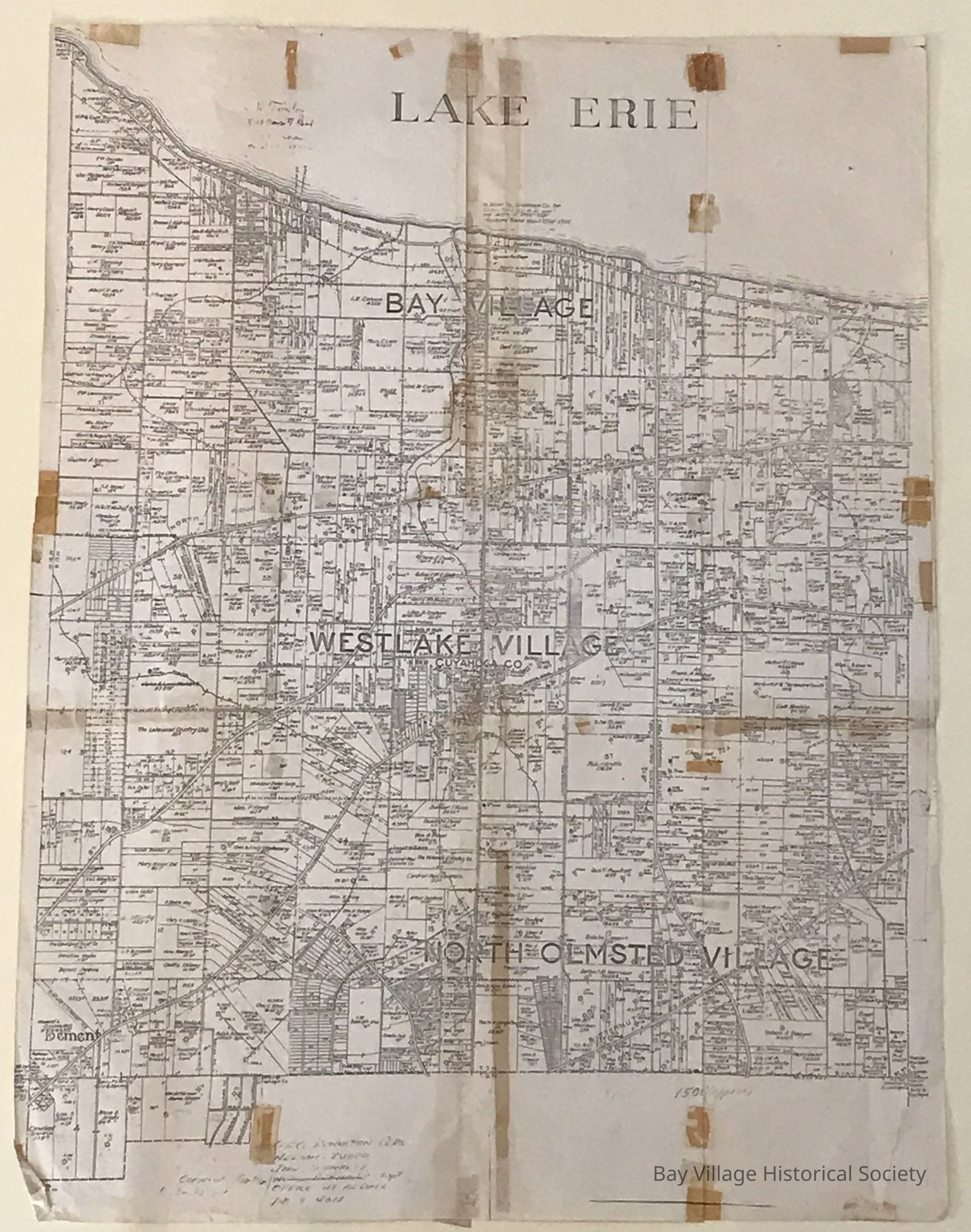
Name/Title
Original Dover Twp. after Village Divisions, 1911-27Entry/Object ID
2018.FIC.011Description
The plat map shows Bay Village, Westlake Village and North Olmsted Village. Lot owners and acreage are listed.
Main roads identified include Lake to the north and Butternut Ridge to the south. Railway and Interurban are included.
Notation on the top: In Dover Twp., Cuyahoga Co., the Chaton Sand lies at an average depth of 2400'-2550'. Newburg Sand 2200'-2300'.
Additional maps:
2018.FIC.0089 Stored OLC, 2nd Floor, Tube Storage, Tube 2.
Map was duplicated in sections onto six smaller pieces of paper and scotch taped together. Adhesive marks are evident on a large number of spots around the edges and through the middle.Collection
City of Bay Village MapsRelationships
Related Entries
Notes
Additional maps: Stored OLC, 2nd Floor, Tube Storage, Tube 2.
2018.FIC.0089 Map was duplicated in sections onto six smaller pieces of paper and scotch taped together. Similar to this one.
Copy of this map was made in 2018 so it was easier for guests to view since the other two copies were pieced together.
Located OLC, NW Room, Flat File, Drawer 2, Sleeve 5.