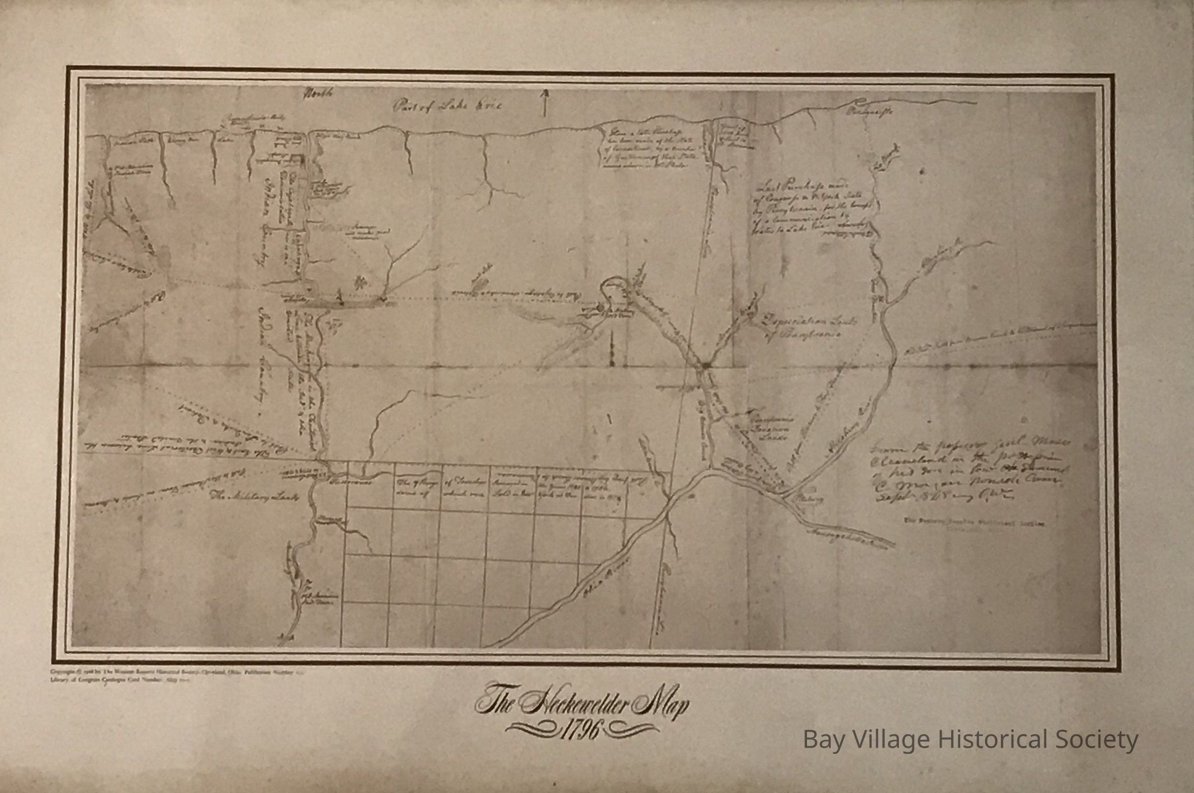
Name/Title
The Heckwelder MapEntry/Object ID
2018.M.FIC.002Description
Early map showing the Western Reserve. Port of Lake Erie south to the Ohio River, Pennsylvania to Cleveland showing the Huron River. Various notations are listed. Original in the Library of CongressCollection
Western Reserve Maps