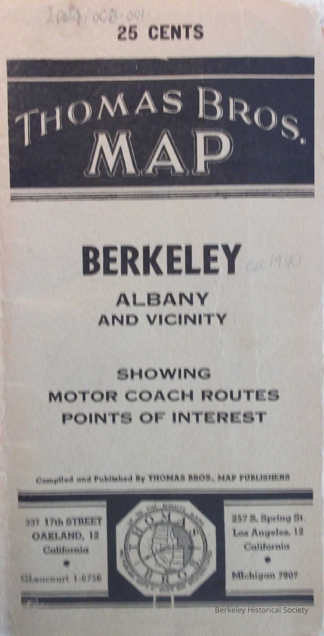
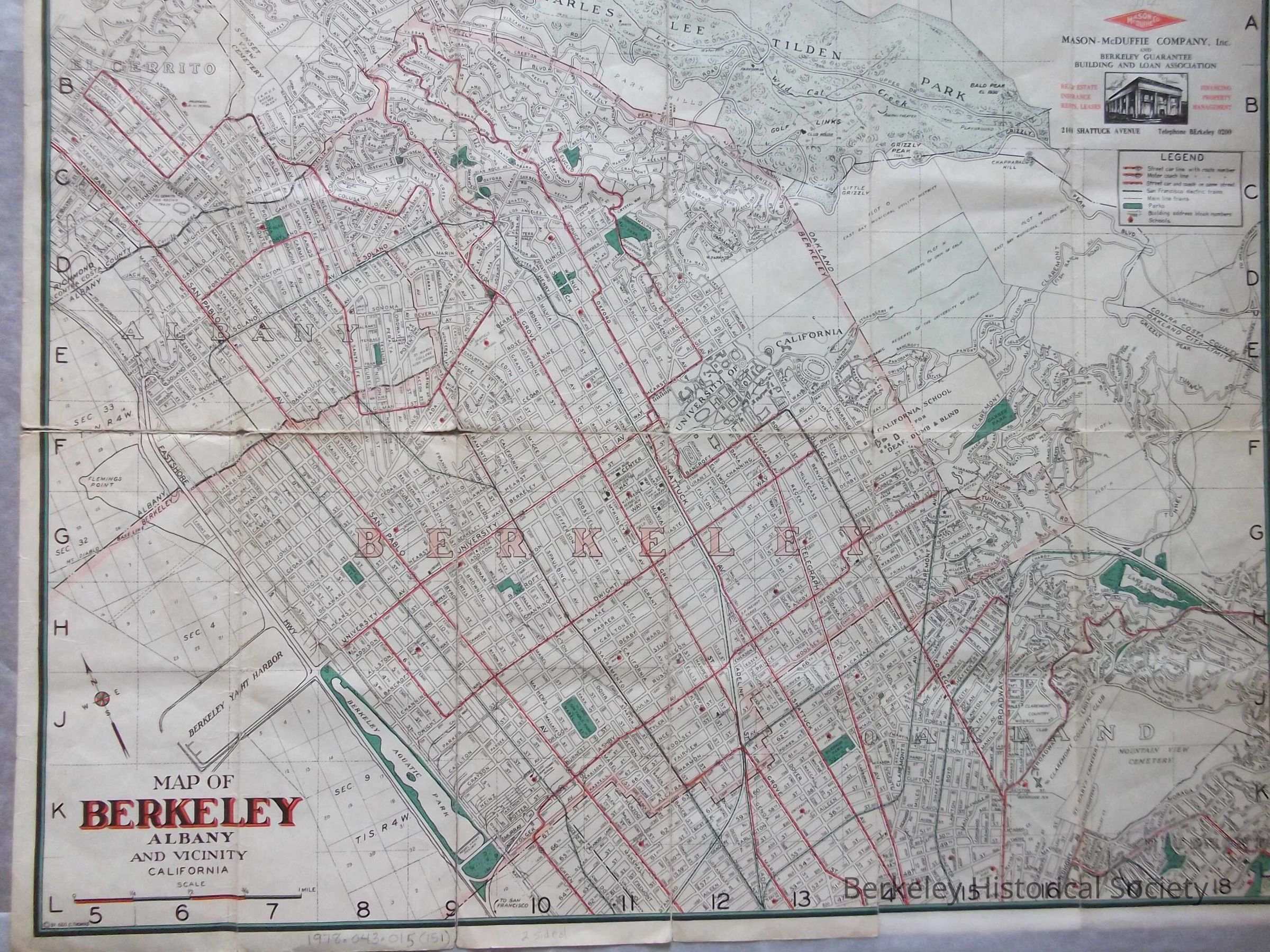
Name/Title
Map of Berkeley, Albany and vicinity, California, 1939Entry/Object ID
1978.043.015Description
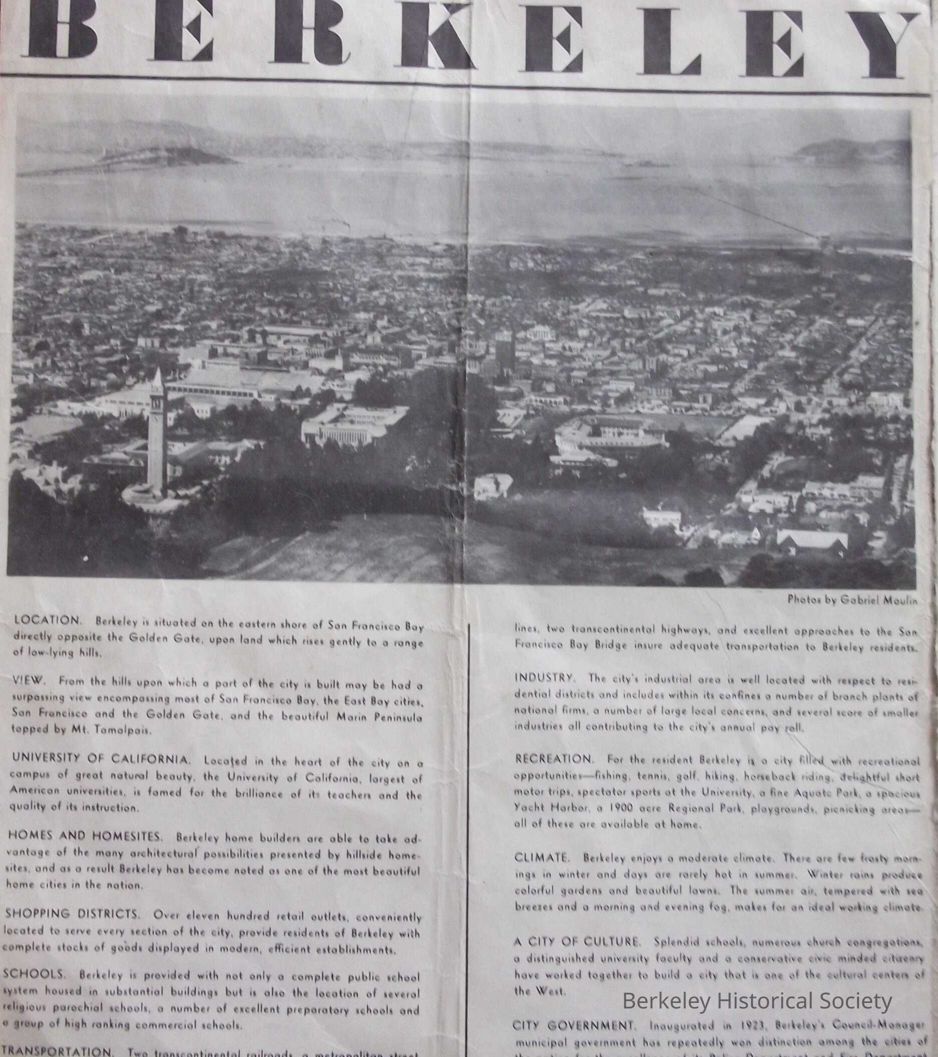
Brochure: map promoting Berkeley as 'a finer place to live.' Map with street index, streetcar and train lines.
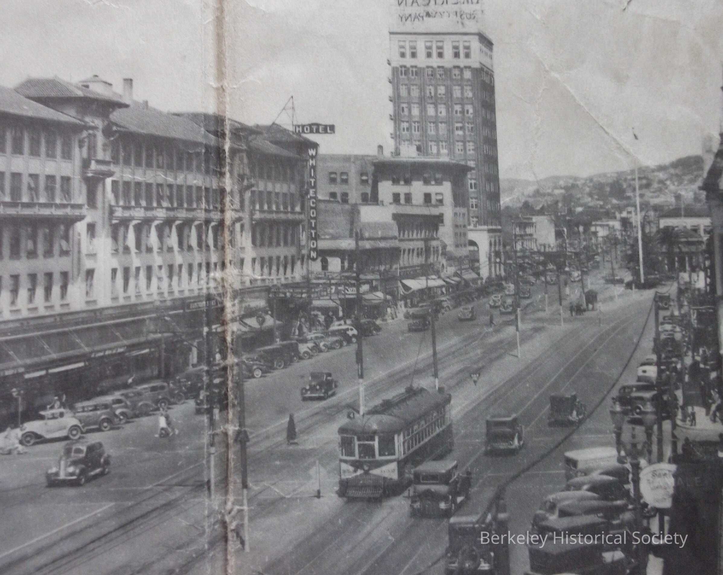
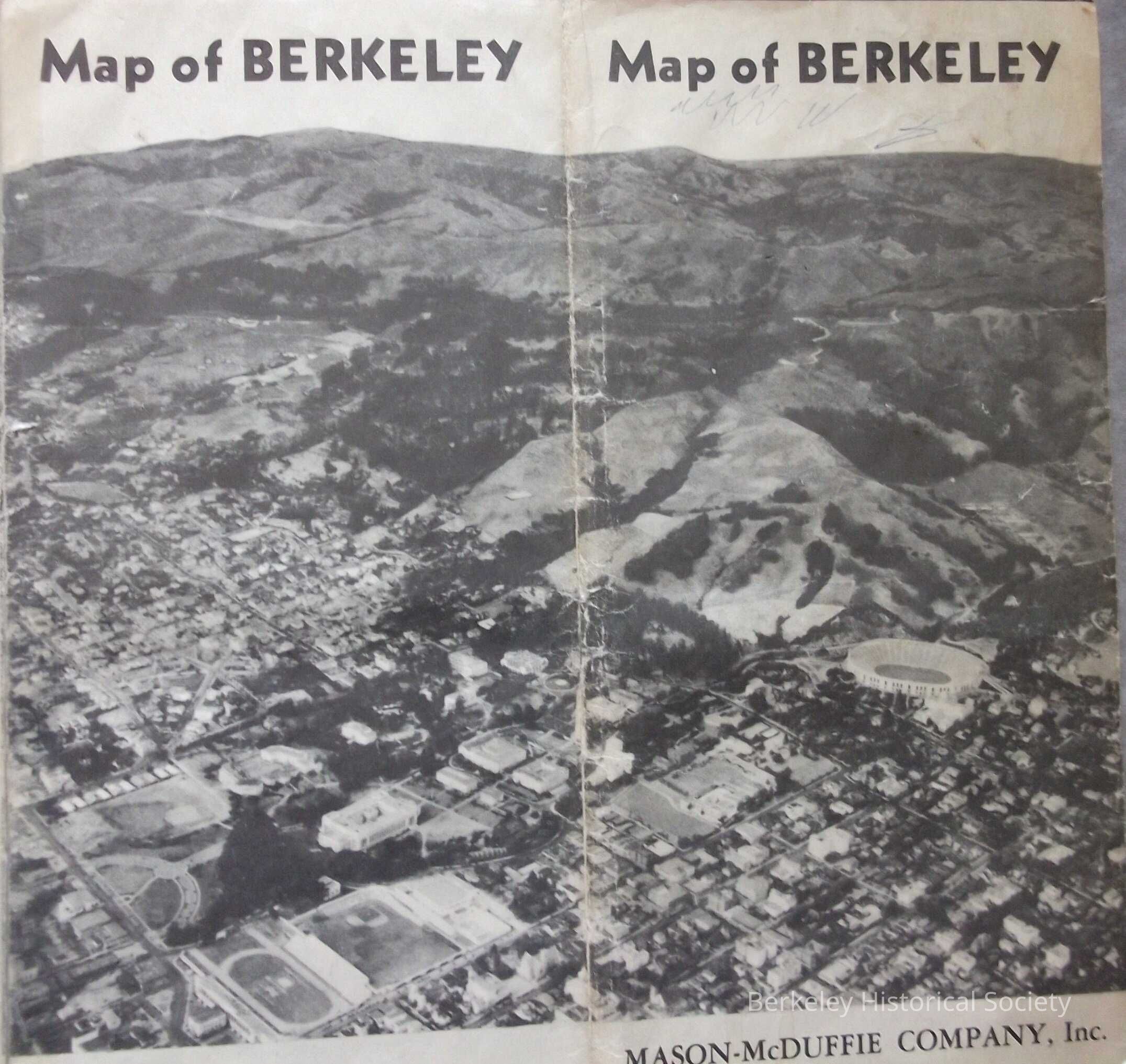
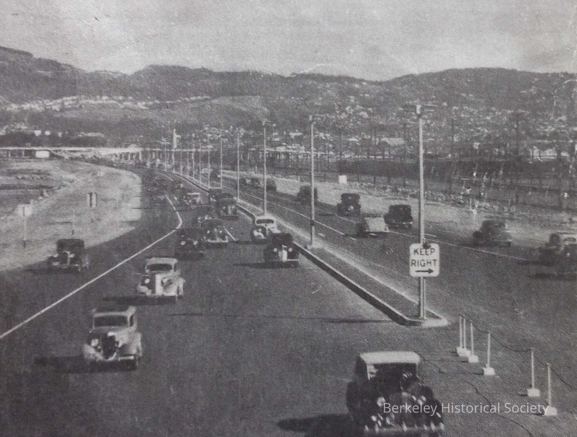
In cooperation with the City/County, Berkeley Realty Board. Photos are by Gabriel Moulin. Advertisers Mason-McDuffie Co., and Berkeley Guarantee Building and Loan Assoc, Inset road Map of Bay Area, photos of Berkeley attractions and description of various Berkeley features such as climate, industry, culture, accessibility to San Francisco and World's Fair.
Compare to 1978.043.012.
.Lexicon
Nomenclature 4.0
Nomenclature Secondary Object Term
MapNomenclature Primary Object Term
CartographNomenclature Sub-Class
Graphic DocumentsNomenclature Class
Documentary ObjectsNomenclature Category
Category 08: Communication ObjectsSearch Terms
Berkeley Chamber of Commerce, Mason-McDuffie Company, Berkeley Guarantee Building and Loan Association, Eastshore Highway image, Downtown- Image, Folded Street MapMap Details
Place Published
* Untyped Place Published
BerkeleyDate Published
1939Location
Other
Drawer FB-3, Folder 3f