Name/Title
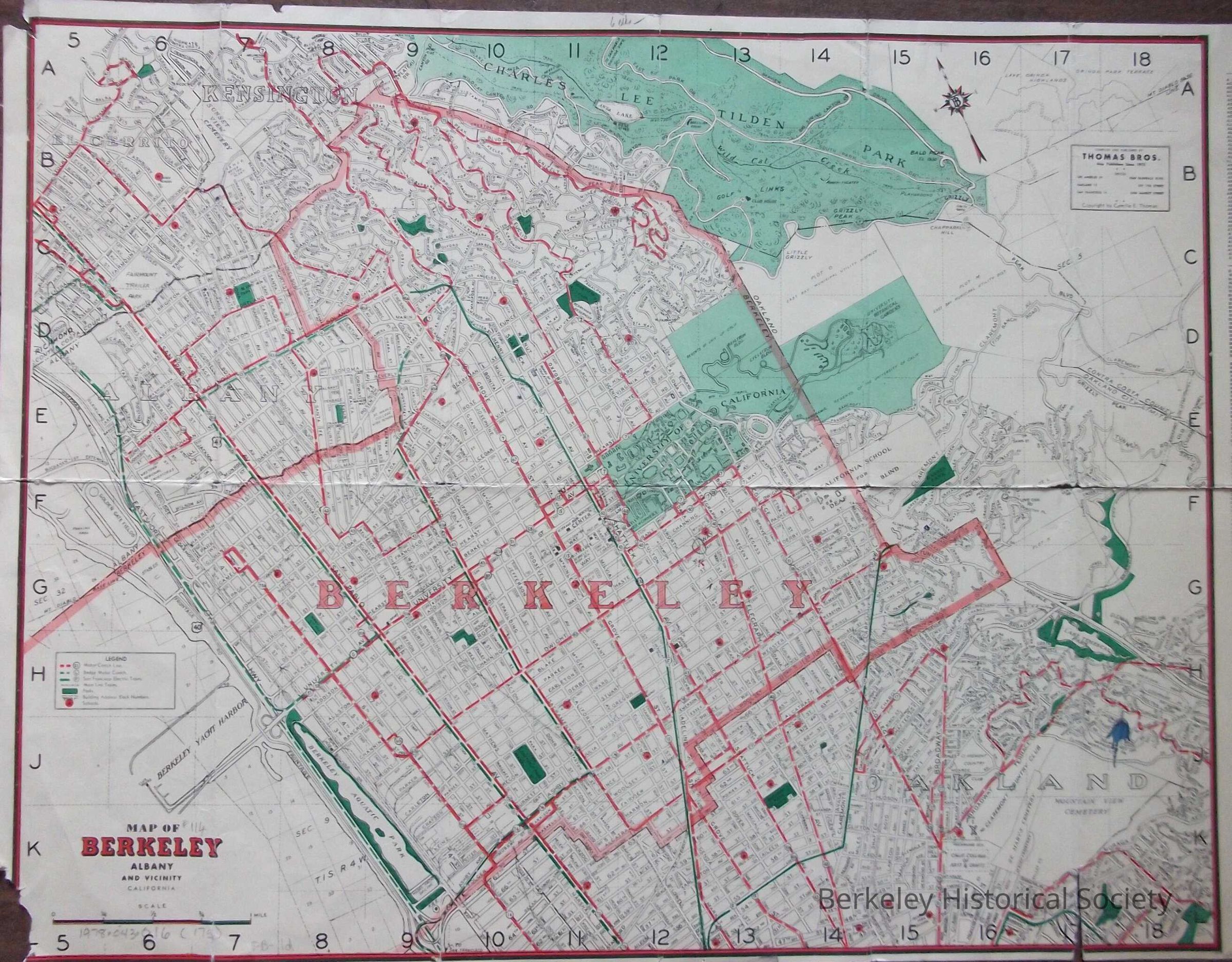
Map of Berkeley, Albany and vicinity, 1940Entry/Object ID
1978.043.016Description
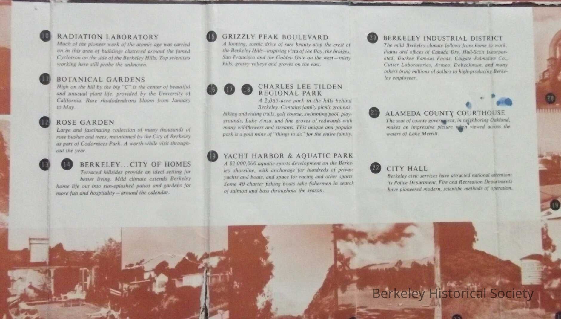
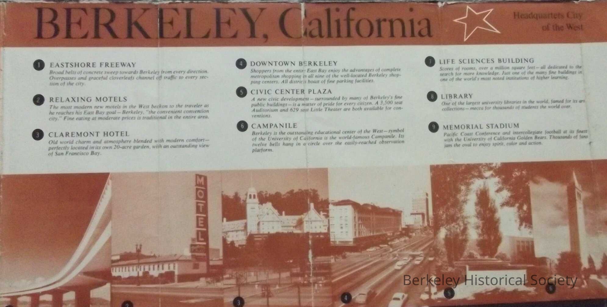
Promotional brochure with map on one side and photograph of Berkeley area and places of interest on reverse, with captions and miscellaneous information.
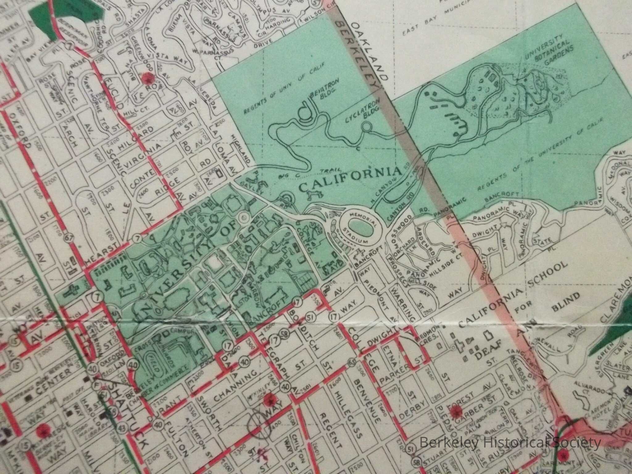
Map has motor coach lines, electric trains, parks, building address block numbers, schools, street index along right side. Also includes short list of important telephone numbers and addresses.
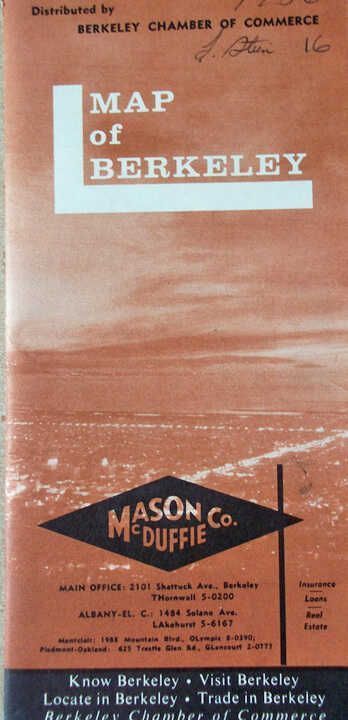
Advertising by Mason-McDuffie Co. Distributed by Berkeley Chamber of Commerce. Map by Thomas Bros.
Extent: 42 x 68 cm.Lexicon
Nomenclature 4.0
Nomenclature Secondary Object Term
MapNomenclature Primary Object Term
CartographNomenclature Sub-Class
Graphic DocumentsNomenclature Class
Documentary ObjectsNomenclature Category
Category 08: Communication ObjectsSearch Terms
UC, Downtown Images, Sather Tower image, Street Map, Roads--California--BerkeleyLocation
Other
Drawer FB-3, Folder 3h