Name/Title
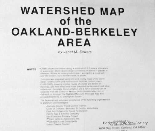
Watershed map of the Oakland-Berkeley area, 1993Entry/Object ID
1978.043.030Description
Creeks of the East Bay.
Two sided document
Map covers from San Leandro northward to El Cerrito, showing creeks, marshlands, engineered channels, etc. Below map is text "Points of interest" mainly listing parks in the area. Some streets are named.
On Verso is "Creeks of the East Bay" showing creeks from south of Mt. Hamilton northward to Vallejo. Only major highways are shown. Below map are reproductions of two photos, one showing flooding of Lake Merritt around courthouse, and two old maps showing mouth of Temescal Creek and mouth of Alameda creek
Extent: map : ill. ; 24x36 in.Lexicon
Nomenclature 4.0
Nomenclature Secondary Object Term
MapNomenclature Primary Object Term
CartographNomenclature Sub-Class
Graphic DocumentsNomenclature Class
Documentary ObjectsNomenclature Category
Category 08: Communication ObjectsSearch Terms
"Map Watershed"Map Details
Maker or Creator
Sowers, Janet MPlace Published
* Untyped Place Published
OAKLAND, CADate Published
1993Dimensions
Dimension Notes
ca. 36 x 24 in.Location
Other
Drawer FB-2, Folder 2c