HUB
Collections
Classifications
About
App
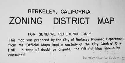
Berkeley, California zoning district map, 1967
Map
-
Berkeley Historical Society & Museum
1967 Zoning District Map
Name/Title
Berkeley, California zoning district map, 1967
Entry/Object ID
1978.043.034
Description
Shows zoning levels throughout the city. Revised and updated to June 27, 1967. Compiled from official maps in office of the City Clerk Extent: 1 sheet : 57 x 42 in. folded to 29 x 42 in.
Lexicon
Nomenclature 4.0
Nomenclature Secondary Object Term
Map
Nomenclature Primary Object Term
Cartograph
Nomenclature Sub-Class
Graphic Documents
Nomenclature Class
Documentary Objects
Nomenclature Category
Category 08: Communication Objects
Search Terms
"Zoning--California--Berkeley"
Map Details
Maker or Creator
Berkeley, Calif. Planning Department
Place Published
* Untyped Place Published
Berkeley
Date Published
1967
Dimensions
Height
57 in
Width
42 in
Depth
29 in
Dimension Notes
57 x 42 in. folded to 29
Location
Other
Drawer FB-2, Folder 2c