HUB
Collections
Classifications
About
App
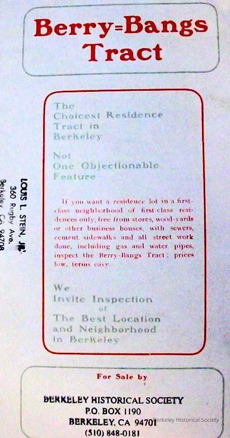
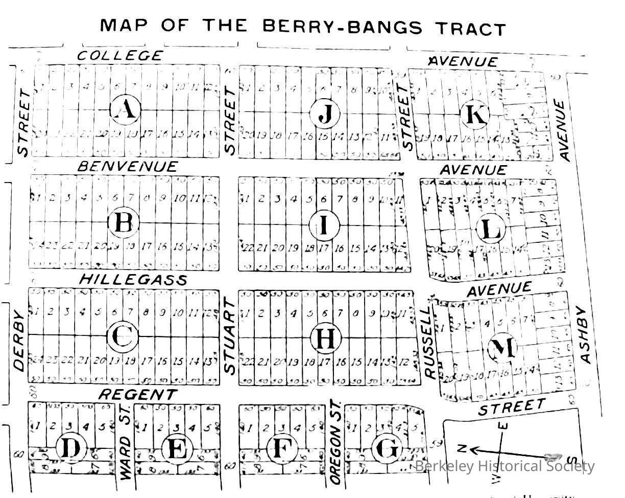
Map of the Berry-Bangs tract, 1905
Map
-
Berkeley Historical Society & Museum
bangs-berry1
Name/Title
Map of the Berry-Bangs tract, 1905
Entry/Object ID
1978.043.041
Description
Map on one sheet designed to be folded, with text describing property and a list of other property owners. Extent: 1 map : 9 x 12 in.
Lexicon
Nomenclature 4.0
Nomenclature Secondary Object Term
Map
Nomenclature Primary Object Term
Cartograph
Nomenclature Sub-Class
Graphic Documents
Nomenclature Class
Documentary Objects
Nomenclature Category
Category 08: Communication Objects
Search Terms
Berry-Bangs tract,
College Avenue,
Stuart Street,
Russell Street,
Ashby Avenue,
Real property
Map Details
Maker or Creator
Berry & Bangs
Date Published
1905
Dimensions
Height
9 in
Width
12 in
Location
Other
Drawer FB-5, Folder 5b