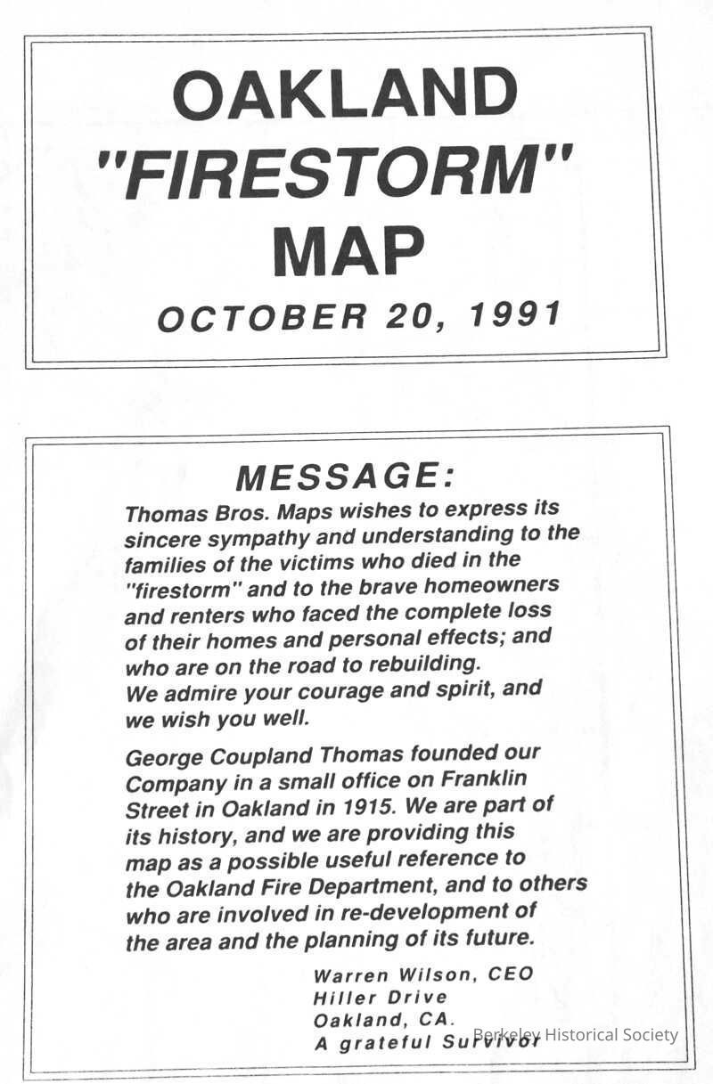
Name/Title
Oakland Firestorm Map, 1991Entry/Object ID
1978.043.053Description
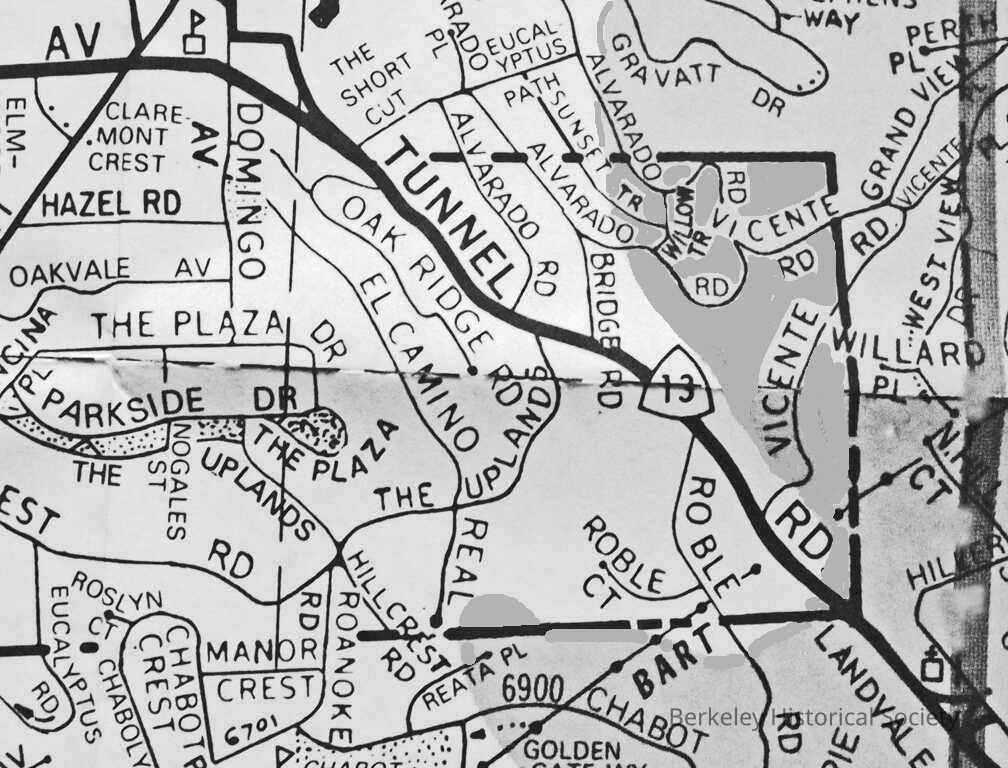
Map showing the extent of the October 20, 1991 Oakland Hills Fire. Fire along the Route 24 freeway reached in Berkeley, Vicente Rd.
Two sided man, one east Extent of Oalkland Hills, other side extent of fire, large scaleLexicon
Nomenclature 4.0
Nomenclature Secondary Object Term
MapNomenclature Primary Object Term
CartographNomenclature Sub-Class
Graphic DocumentsNomenclature Class
Documentary ObjectsNomenclature Category
Category 08: Communication ObjectsSearch Terms
Oakland Hills, Map Fire 1991Location
Other
Drawer FB-1, Folder 1f