Name/Title
Map of Berkeley, Albany & Vicinity, California, 1937Entry/Object ID
1978.043.083Description
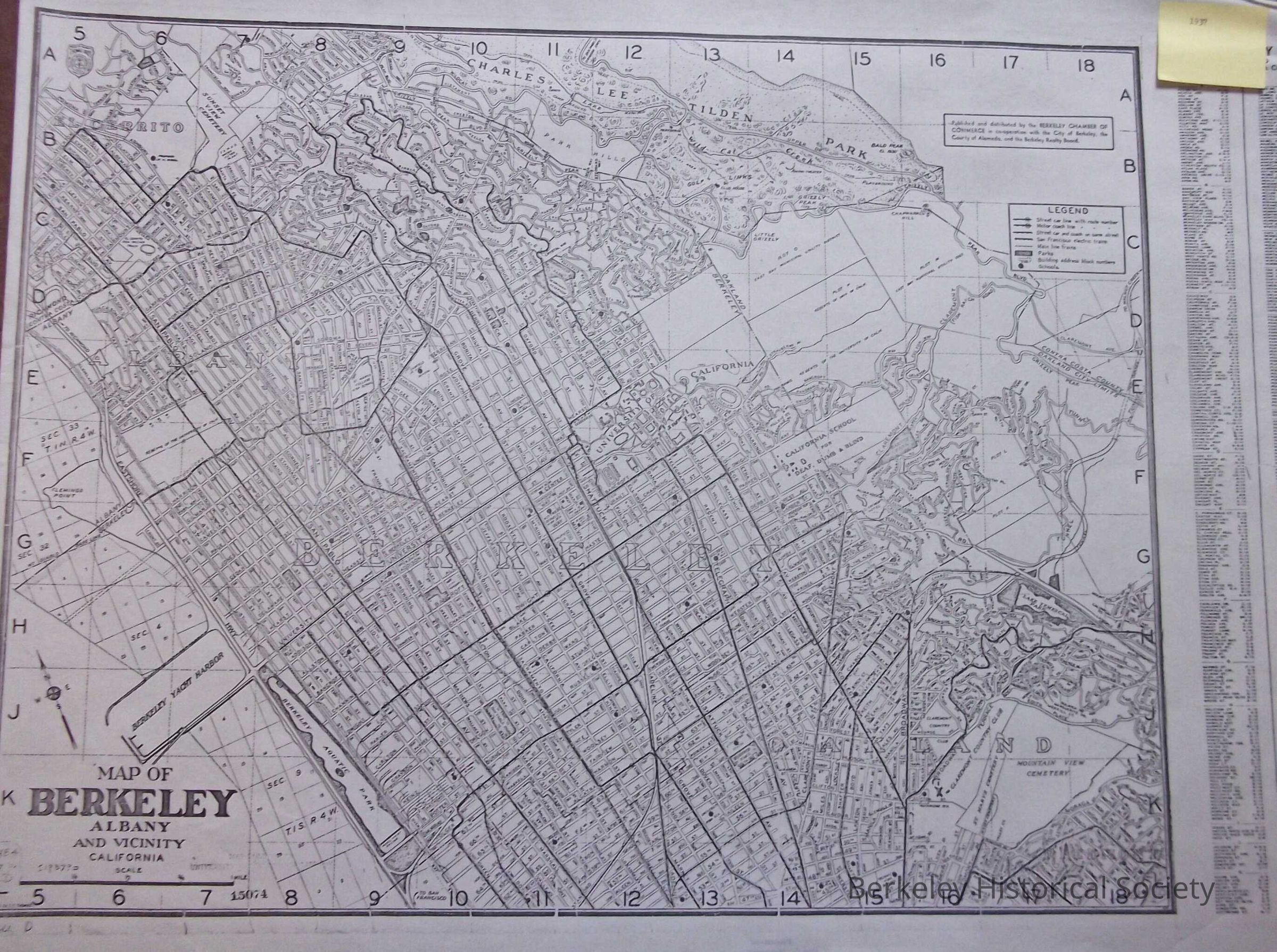
This is a street map, double lines for streets. Shows East Shore Highway. Published by Berkeley Chamber of Commerce.
This map shows all electric transit lines, motorcoach lines, mainline train lines. It shows the Berkeley Yacht Harbor.
Street index on right hand side.Lexicon
Nomenclature 4.0
Nomenclature Secondary Object Term
MapNomenclature Primary Object Term
CartographNomenclature Sub-Class
Graphic DocumentsNomenclature Class
Documentary ObjectsNomenclature Category
Category 08: Communication ObjectsSearch Terms
Berkeley, streetcar lines, transbay rail lines., Street MapLocation
Other
Drawer FB-2, Folder 2d