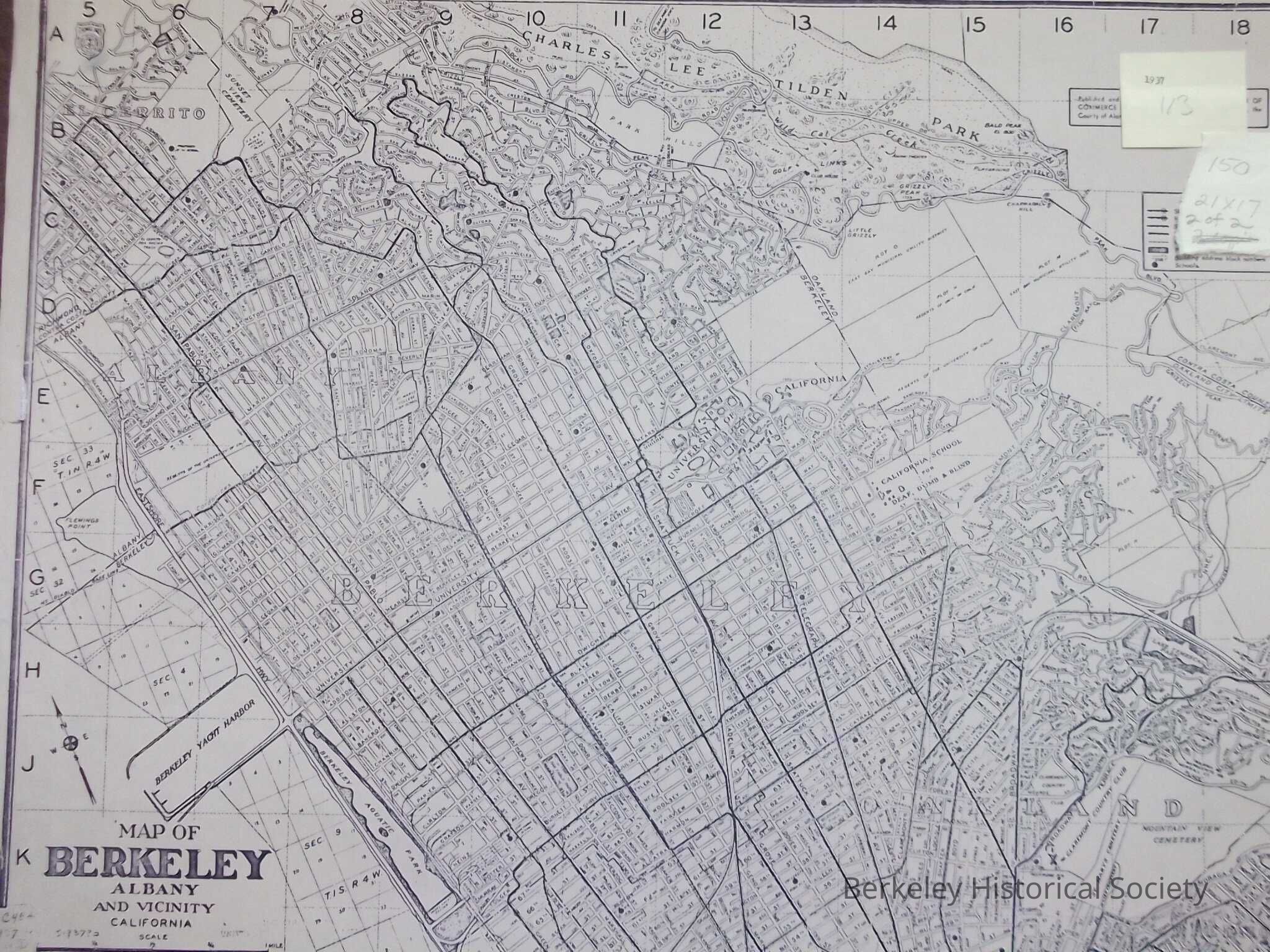
Name/Title
Berkeley, Albany & Vicinity, 1937Entry/Object ID
1978.043.100Description
Street Map showing transit lines
Published and distributed by the Berkeley Chamber of Commerce, in co-operation with City of Berkeley, County of Alameda and Berkeley Reality
Index to streets at right.Lexicon
Nomenclature 4.0
Nomenclature Secondary Object Term
MapNomenclature Primary Object Term
CartographNomenclature Sub-Class
Graphic DocumentsNomenclature Class
Documentary ObjectsNomenclature Category
Category 08: Communication ObjectsSearch Terms
Berkeley, Map StreetLocation
Other
Drawer FB-5a, Folder 5af