Name/Title
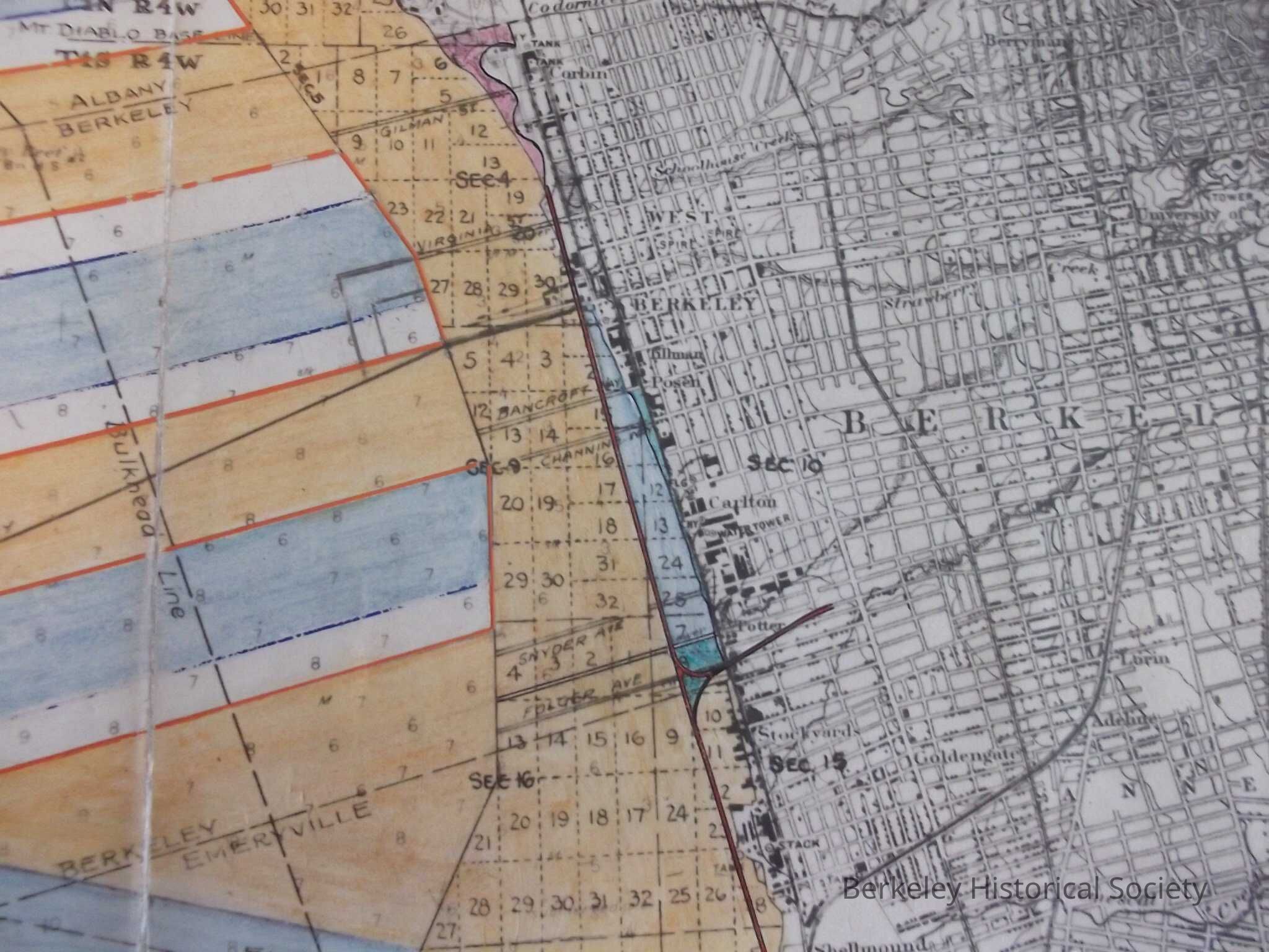
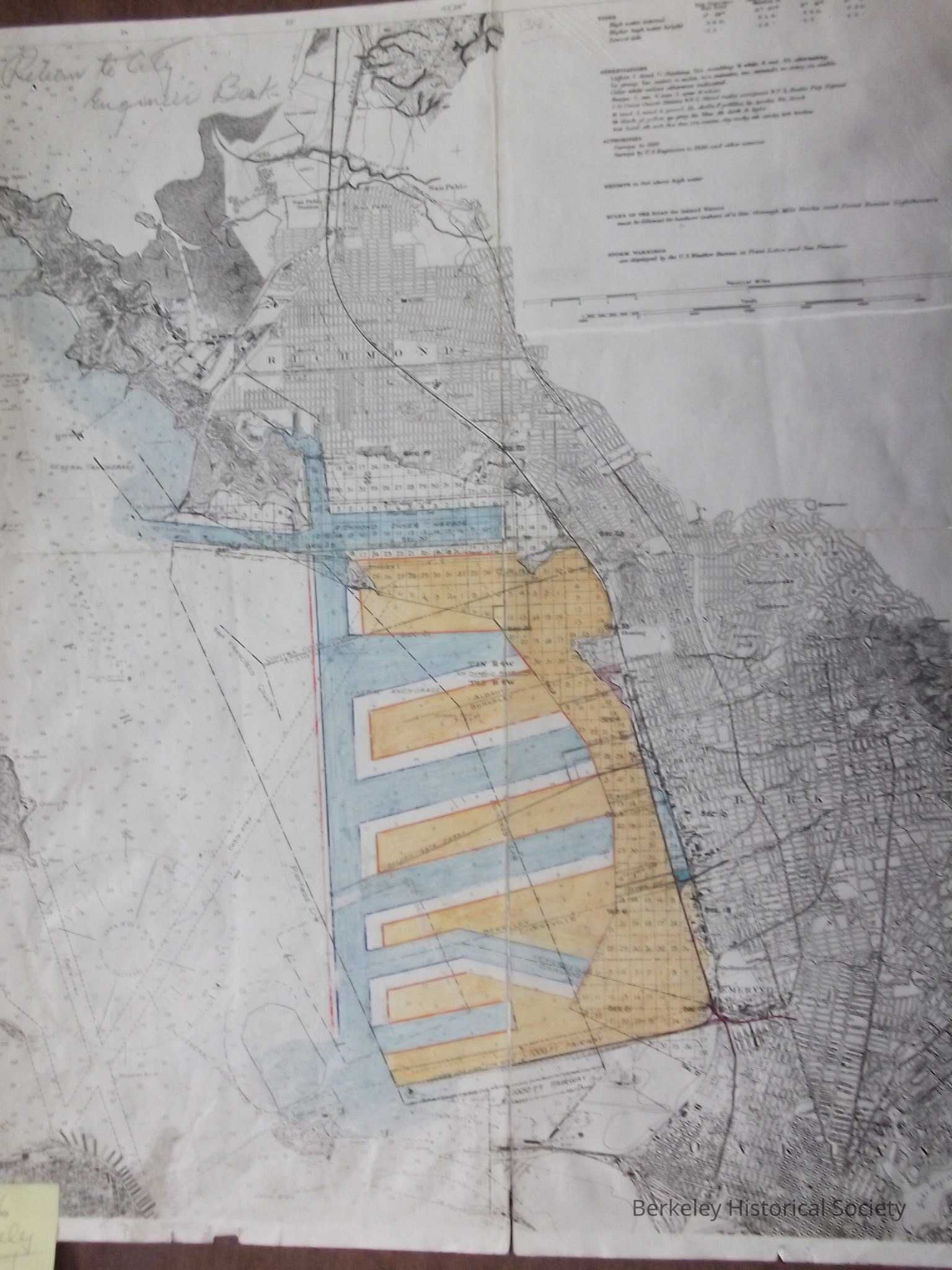
Harbor development for East Bay, 1926Entry/Object ID
1978.043.109Description
Title supplied.
Copy of unidentified map, with coloring to show possible harbor development, with piers extending out into the Bay,
Water colored blue, port in orange,
Notes on map include high tide, Abbreviations, authorities, Rules of the Road for inland waterways. Hand written, return to Engineer Berk. Shown on may is Golden Gate Ferrty pier. ATSF railroad, Southern Pacific Railroad, Area north of Marin Street shown as Oceanview,Lexicon
Nomenclature 4.0
Nomenclature Secondary Object Term
MapNomenclature Primary Object Term
CartographNomenclature Sub-Class
Graphic DocumentsNomenclature Class
Documentary ObjectsNomenclature Category
Category 08: Communication ObjectsSearch Terms
Port of Bekeley, Harbors--California--Berkeley, Waterfronts--California--BerkeleyLocation
Other
Drawer FB-4, Folder 4d