Name/Title
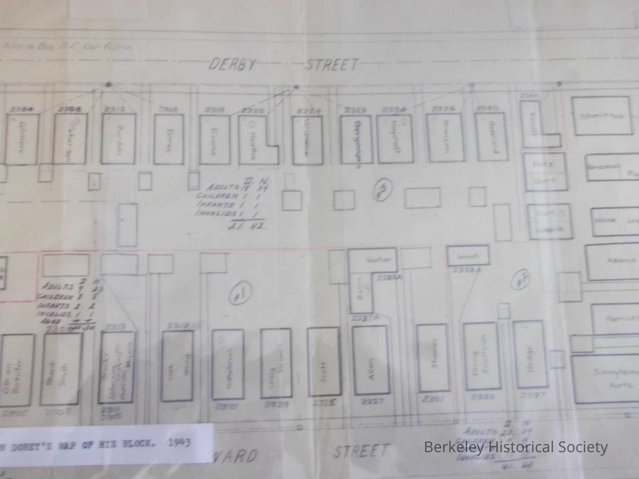
Warden Dorey's Map of His Block, 1943Entry/Object ID
1978.043.110Description
Map houses on Ward, Dana, Derby and Ellsworth Streets, with names of owners; some have numbers of residents.
Title from label affixed to housing.
Presumably a World War II block warden's area. Dorey occupied the house at 2314 Derby Street.Lexicon
Nomenclature 4.0
Nomenclature Secondary Object Term
MapNomenclature Primary Object Term
CartographNomenclature Sub-Class
Graphic DocumentsNomenclature Class
Documentary ObjectsNomenclature Category
Category 08: Communication ObjectsSearch Terms
Block Map, Derby Street, Ward Street, World War IILocation
Other
Drawer FB-5a, Folder 5ad