Name/Title
California San Francisco Quadrangle, 1915Entry/Object ID
1978.043.113Description
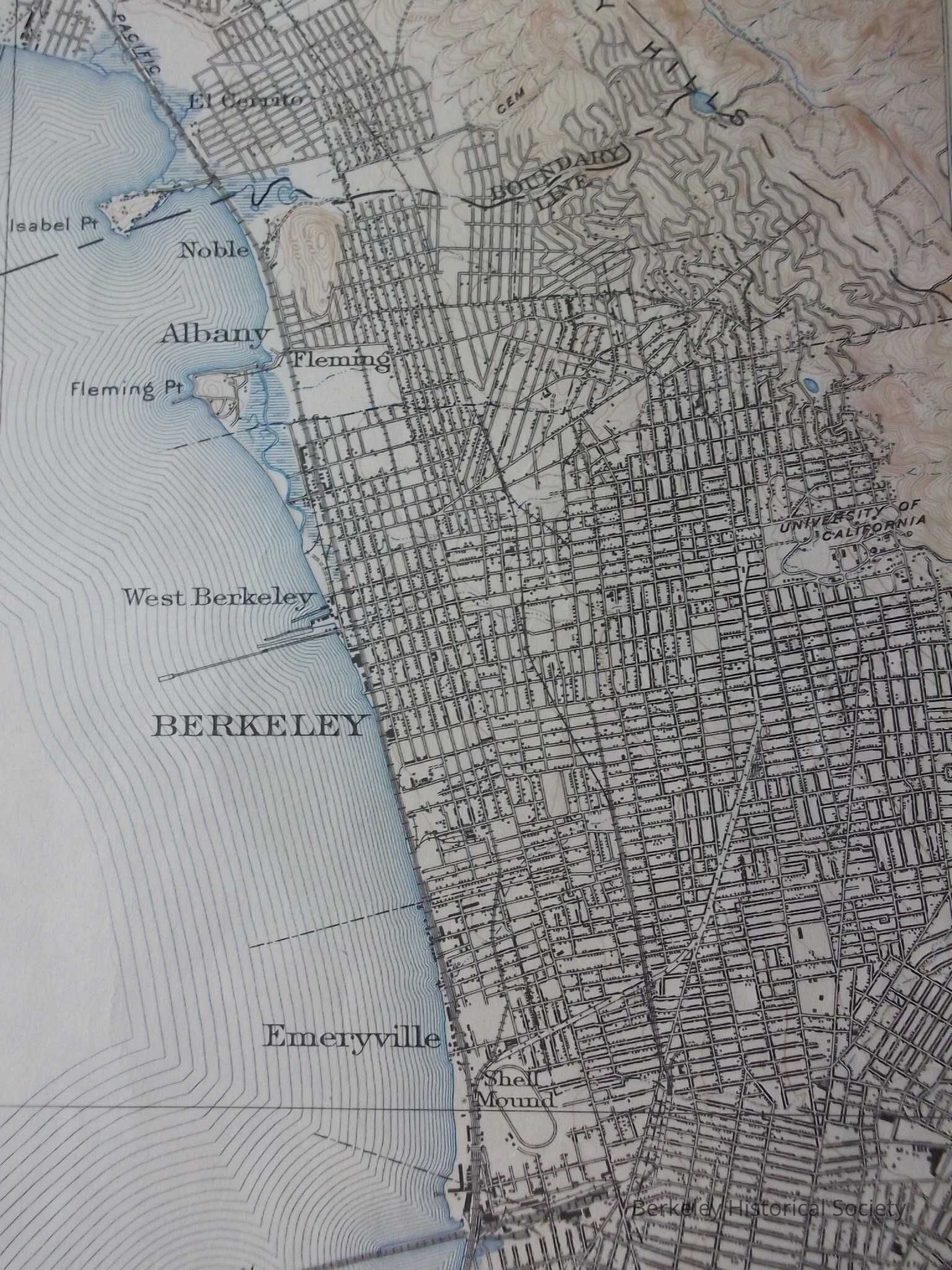
United States Geological Survey map, with California San Francisco Quadrangle at the top. Edition of 1915, reprinted 1947.
Map of San Francisco Bay showing county boundary lines, with a portion of the city of Berkeley to the right.Lexicon
Nomenclature 4.0
Nomenclature Secondary Object Term
MapNomenclature Primary Object Term
CartographNomenclature Sub-Class
Graphic DocumentsNomenclature Class
Documentary ObjectsNomenclature Category
Category 08: Communication ObjectsSearch Terms
"Geological Map"Location
Other
Drawer FB-3, Folder 3b